
Inning am Holz, municipality of Germany
Location: Erding
Elevation above the sea: 505 m
Part of: Verwaltungsgemeinschaft Steinkirchen
Website: http://gemeinde-inning.de
GPS coordinates: 48.34722,12.07639
Latest update: March 7, 2025 10:44
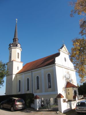
Wallfahrtskirche Maria Thalheim
3.8 km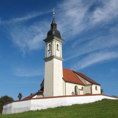
Pfarrkirche Mariä Geburt (Eschlbach, Bockhorn)
4.2 km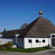
Johanneskirche
3.3 km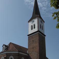
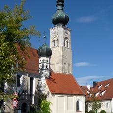
St. Johannes Baptist und Johannes Evangelist (Steinkirchen)
3 km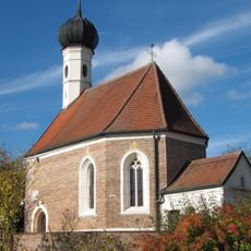
St. Valentin
3.2 km
St. Ulrich
3.6 km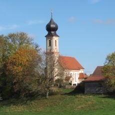
St. Petrus
3 km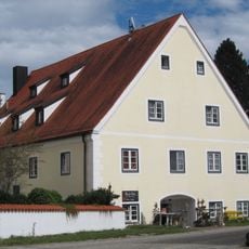
Ehemaliges Mesnerhaus
3.7 km
St. Jakobus
1.5 km
St. Stephan
300 m
Katholische Filialkirche St. Helena
2.9 km
St. Georg
1.5 km
St. Martin
1.9 km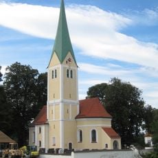
St. Stephanus
3.2 km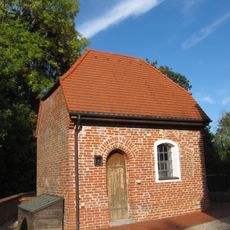
Seelenkapelle (Steinkirchen)
3 km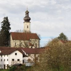
Katholische Filialkirche St. Michael
2.6 km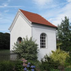
Kapelle
2.5 km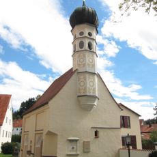
Friedhofskapelle St. Michael
3.8 km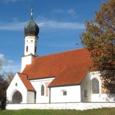
Katholische Filialkirche St. Ulrich
3.6 km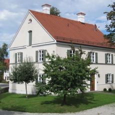
Pfarrhaus
3.2 km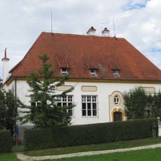
Ehemaliges Schulhaus
3.2 km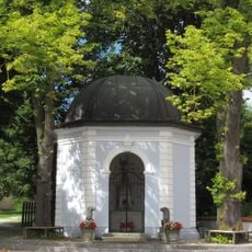
Brunnenhaus
3.8 km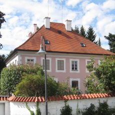
Ehemaliges Pfarrhaus
3.8 km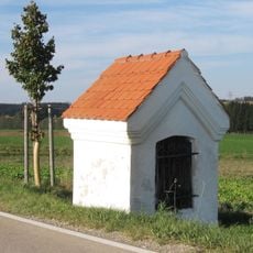
Bildstock mit Steildach und Putzgesimsen
3.7 km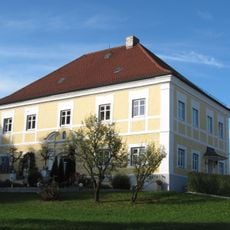
Ehemaliges Schloss
3.4 km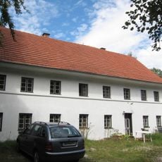
Bauernhaus
3.8 km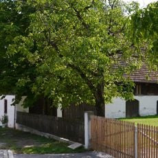
Bundwerkstadel eines Dreiseithofes
4.3 km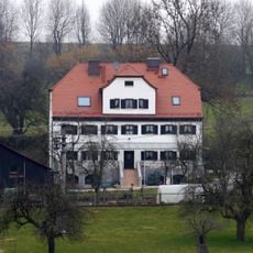
Ehemaliges Pfarrhaus eines Pfarrhofes
4.4 kmReviews
Visited this place? Tap the stars to rate it and share your experience / photos with the community! Try now! You can cancel it anytime.
Discover hidden gems everywhere you go!
From secret cafés to breathtaking viewpoints, skip the crowded tourist spots and find places that match your style. Our app makes it easy with voice search, smart filtering, route optimization, and insider tips from travelers worldwide. Download now for the complete mobile experience.

A unique approach to discovering new places❞
— Le Figaro
All the places worth exploring❞
— France Info
A tailor-made excursion in just a few clicks❞
— 20 Minutes