
Schwaneberg, human settlement in Germany
Location: Sülzetal
Elevation above the sea: 81 m
GPS coordinates: 51.99860,11.47280
Latest update: June 16, 2025 14:54
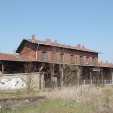
Bahnhof Blumenberg
4.1 km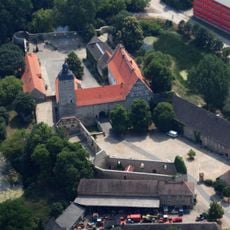
Burg Egeln
6.5 km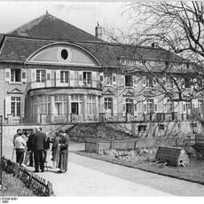
Schloss Bahrendorf
5.9 km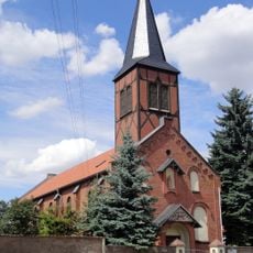
St. Marien
5.9 km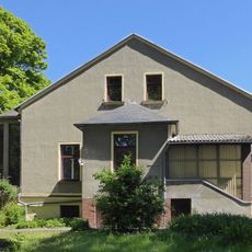
St. Mauritius
4.9 km
Kulturkirche
155 m
St. Johannes Baptist
6.1 km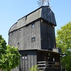
Paltrockmühle Klein Germersleben
5.2 km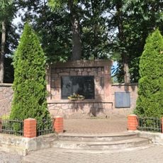
Kriegerdenkmal Bleckendorf
4.9 km
Henne-Berg
3.6 km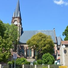
Protestant Church Klein Germersleben
5.1 km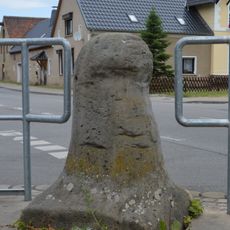
Meilenstein
5.4 km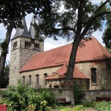
St. Stephanus
5.9 km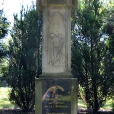
Kriegerdenkmal Klein Germersleben
5.2 km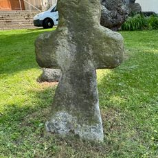
Steinkreuz Altenweddingen
4.2 km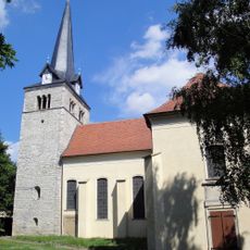
St. Georg (Langenweddingen)
5.1 km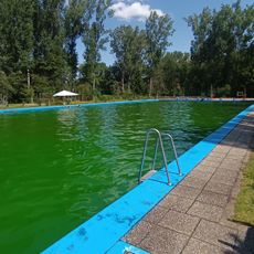
Waldbad Egeln
6.4 km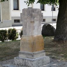
Lutherstein
5.3 km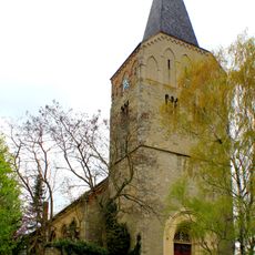
St. Martini (Altenweddingen)
4.2 km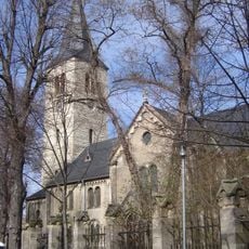
Protestant Church Wolmirsleben
5.9 km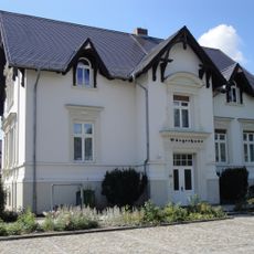
Bürgerhaus
5.3 km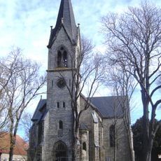
Protestant Church Egeln Nord
4.9 km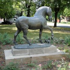
Horse with dog
4.3 km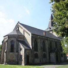
Protestant Church Etgersleben
4.8 km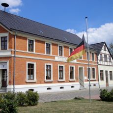
Bürgerhaus
5.9 km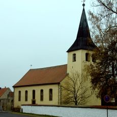
Protestant Church Bottmersdorf
4.6 km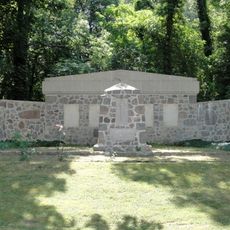
War memorial
5 km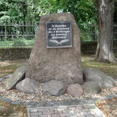
War memorial
5.7 kmReviews
Visited this place? Tap the stars to rate it and share your experience / photos with the community! Try now! You can cancel it anytime.
Discover hidden gems everywhere you go!
From secret cafés to breathtaking viewpoints, skip the crowded tourist spots and find places that match your style. Our app makes it easy with voice search, smart filtering, route optimization, and insider tips from travelers worldwide. Download now for the complete mobile experience.

A unique approach to discovering new places❞
— Le Figaro
All the places worth exploring❞
— France Info
A tailor-made excursion in just a few clicks❞
— 20 Minutes