
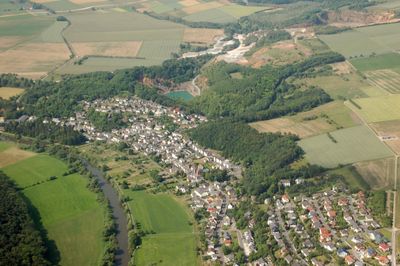
Steeden, village in Germany
Location: Runkel
Elevation above the sea: 114 m
GPS coordinates: 50.41670,8.12556
Latest update: March 20, 2025 14:29
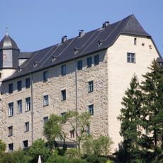
Schadeck Castle
2.3 km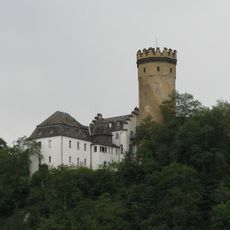
Dehrn Castle
2.4 km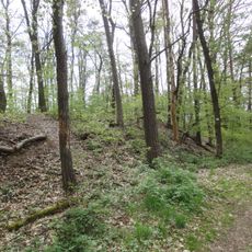
Blücherschanze
1.9 km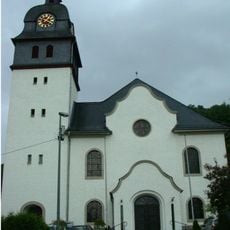
St. Nikolaus
2.1 km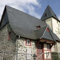
St. Katharina
2.4 km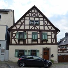
Burgstraße 13
2.4 km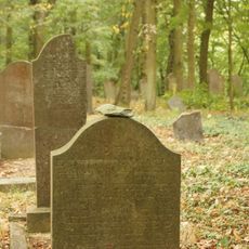
Jüdischer Friedhof
2.2 km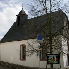
Evangelische Kirche
2.4 km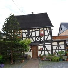
Burgstraße 27
2.4 km
Burgstraße 5
2.4 km
Burgstraße 15
2.4 km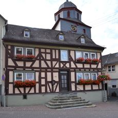
Burgstraße 37
2.4 km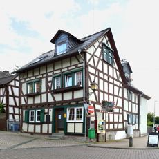
Burgstraße 17
2.4 km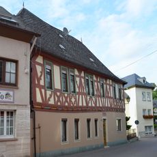
Burgstraße 25
2.4 km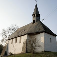
St. Johanniskapelle
67 m
Burgstraße 4
2.4 km
Naturschutzgebiet Runkeler Laach
2.1 km
Burgstraße 35, 37, 39
2.5 km
Mittelstraße 6
2.4 km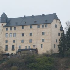
Schloß Schadeck
2.3 km
Obertorstraße 14
2.4 km
Lahngasse 6
2.4 km
Obertorstraße 15
2.4 km
Alte Mühle
1.5 km
Ehem. Pfarrhaus
2.3 km
Hofener Mühle
2.2 km
Mittelstraße 24
2.4 km
Burgstraße 31
2.4 kmReviews
Visited this place? Tap the stars to rate it and share your experience / photos with the community! Try now! You can cancel it anytime.
Discover hidden gems everywhere you go!
From secret cafés to breathtaking viewpoints, skip the crowded tourist spots and find places that match your style. Our app makes it easy with voice search, smart filtering, route optimization, and insider tips from travelers worldwide. Download now for the complete mobile experience.

A unique approach to discovering new places❞
— Le Figaro
All the places worth exploring❞
— France Info
A tailor-made excursion in just a few clicks❞
— 20 Minutes