
LSG-Marpebach von suedlich Nieder-Marpe bis Kueckelheim mit angrenzendem Hangmagergruenland <Typ C>
LSG-Marpebach von suedlich Nieder-Marpe bis Kueckelheim mit angrenzendem Hangmagergruenland <Typ C>, protected area in Germany
Location: Eslohe
Inception: 2008
GPS coordinates: 51.21507,8.14659
Latest update: March 8, 2025 01:02
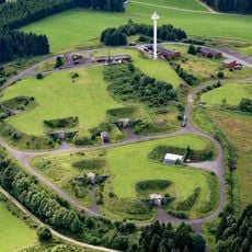
Nike-Feuerstellung Oedingen
5.1 km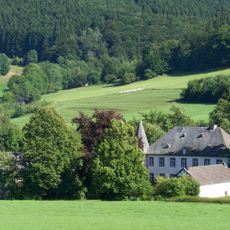
Schloss Obersalwey
5.2 km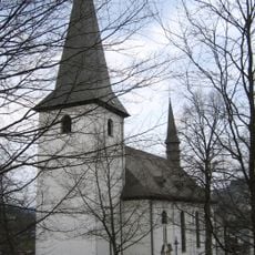
Saints Peter and Paul Church
4.5 km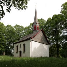
Oedingen Monastery
4.7 km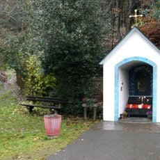
Madonna der Straße
3.9 km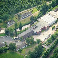
Maschinen- und Heimatmuseum Eslohe
5.4 km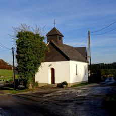
St. Antonius Eremit
2.2 km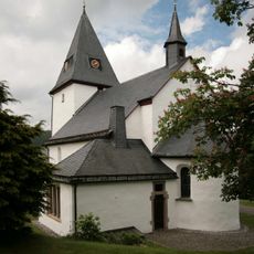
St. Georg
4.9 km
St. Burchard (Oedingen)
4.9 km
Rochuskapelle
4.3 km
Alte Mühle Cobbenrode
1.8 km
St. Nikolaus Cobbenrode
1.9 km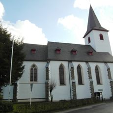
St. Johannes Baptist (Serkenrode)
4.6 km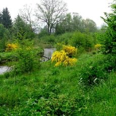
Wennetal
5.5 km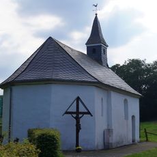
St. Johannes der Täufer
5.5 km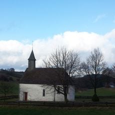
Hl. Drei Könige (Oberlandenbeck)
2.9 km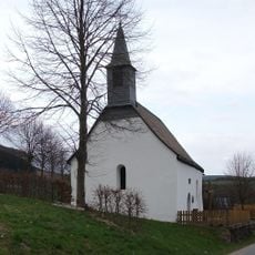
Kapelle St. Agatha
4.6 km
St. Margaretha
2.9 km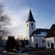
Mariä Heimsuchung (Niederlandenbeck)
2.7 km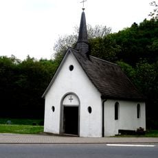
St. Nikolaus (Frielinghausen)
5 km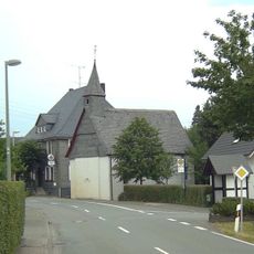
St. Blasius
5.7 km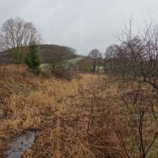
Feuchtgrünland am Hengsbecker Bach
3.2 km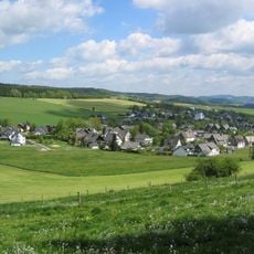
Ortsrandlage Bracht
5.5 km
Hengstberg
3.5 km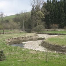
Wenneaue von Niederberndorf bis nördlich Grimminghausen
5 km
St. Sebastian
4.5 km
Dormecketal
2.1 km
Offenlandbereiche um Herschede nördlich Bracht
4.4 kmReviews
Visited this place? Tap the stars to rate it and share your experience / photos with the community! Try now! You can cancel it anytime.
Discover hidden gems everywhere you go!
From secret cafés to breathtaking viewpoints, skip the crowded tourist spots and find places that match your style. Our app makes it easy with voice search, smart filtering, route optimization, and insider tips from travelers worldwide. Download now for the complete mobile experience.

A unique approach to discovering new places❞
— Le Figaro
All the places worth exploring❞
— France Info
A tailor-made excursion in just a few clicks❞
— 20 Minutes