
Friedhofsanlage, 1906–11; Aussegnungshalle, eingeschossiges Gebäude mit geschwungenem Walm- und Krüppelwalm, Vorhalle und Dachreiter, seitliche Flügel mit Krüppelwalmdach;
Location: Velden
Address: Schulstraße 11
GPS coordinates: 48.36850,12.25704
Latest update: September 16, 2025 20:23

St. Peter (Velden)
318 m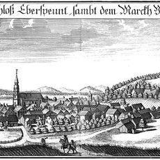
Cultural heritage D-2-7639-0044 in Velden (Vils)
4.3 km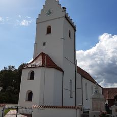
St. Ulrich (Untervilslern)
2.5 km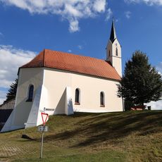
St. Andreas (Eberspoint)
4.3 km
Cultural heritage D-2-7639-0102 in Velden (Vils)
4.6 km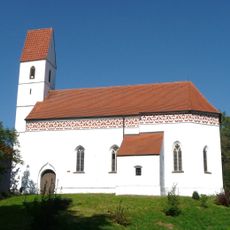
St. Lambert (Kleinvelden)
1.1 km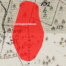
Cultural heritage D-2-7639-0001 in Neufraunhofen
2.5 km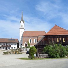
Hl. Dreifaltigkeit (Kreuz)
2.6 km
St. Rupertus (Ruprechtsberg)
2.5 km
Pfarrhaus Wambach
6.4 km
St. Lampertus
6.4 km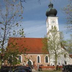
Katholische Pfarrkirche St. Stephanus
5.9 km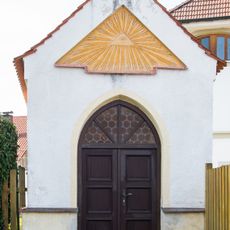
Kapelle
479 m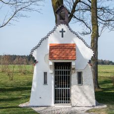
Marienkapelle St. Barbara
1.2 km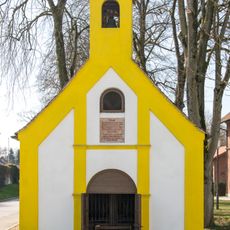
Kapelle
661 m
Villa mit Hochparterre
540 m
Wohnhaus
355 m
Velden (Vils) train station
684 m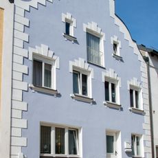
Wohnhaus
322 m
St. Jakobus der Ältere
6.4 km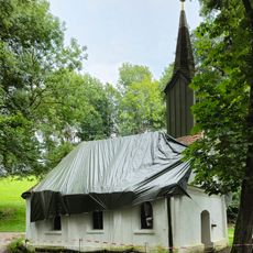
Wallfahrtskapelle Maria Brünnl in Buchbach (Oberbayern)
5.9 km
Ehemalige Schmiede
313 m
Altes Rathaus Velden
386 m
Gasthof
395 m
Wohnhaus
399 m
Wohn- und Geschäftshaus
376 m
Gasthof
393 m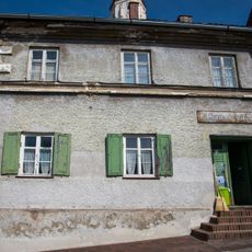
Wohn- und Geschäftshaus
362 mReviews
Visited this place? Tap the stars to rate it and share your experience / photos with the community! Try now! You can cancel it anytime.
Discover hidden gems everywhere you go!
From secret cafés to breathtaking viewpoints, skip the crowded tourist spots and find places that match your style. Our app makes it easy with voice search, smart filtering, route optimization, and insider tips from travelers worldwide. Download now for the complete mobile experience.

A unique approach to discovering new places❞
— Le Figaro
All the places worth exploring❞
— France Info
A tailor-made excursion in just a few clicks❞
— 20 Minutes