
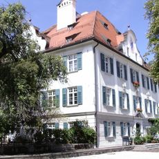
Ehem. Wirtschaftshof des Schlosses, building in Grabenstätt, Upper Bavaria, Germany
Location: Grabenstätt
Address: Schloßstraße 17
GPS coordinates: 47.84318,12.54387
Latest update: May 28, 2025 19:17

Michael Traunstein
7.1 km
St. Nikolaus
5.4 km
Künstlerhaus Exter mit Garten
4.5 km
Babalu Indoor Spielplatz
6.1 km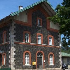
Bergen (Oberbayern) station
4.2 km
Mariä Verkündigung (Haslach)
6.6 km
Bergener Moos
4.2 km
Schloss Neuenchieming
5.3 km
Römermuseum Grabenstätt
6 m
Mündung der Tiroler Achen
3.9 km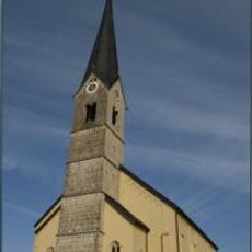
St. Ägidius (Bergen)
5.3 km
Kapelle
5.3 km
Meilenstein von Erlstätt
5.8 km
St. Maximilian (Grabenstätt)
168 m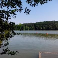
LSG Tüttensee
2 km
Gewerbegebiet Bad Adelholzen
6.3 km
Konglomerate des Aquitan an der Blauen Wand S von Traunstein
7.2 km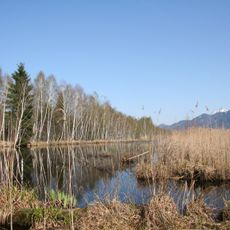
Moore südlich des Chiemsees
4.9 km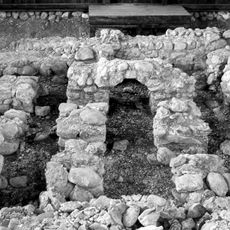
Villa rustica der römischen Kaiserzeit
3 km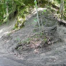
Hilzinger Nummulitenriff NNW von Hilzing
6.4 km
Moore südlich des Chiemsees
5 km
Ehem. Pfarrhof
6.5 km
Chiemseegebiet mit Alz
7.2 km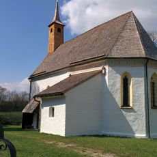
St. Johann Baptist
7.2 km
Bahnhofsempfangsgebäude
4.2 km
Tiroler Achen
2.9 km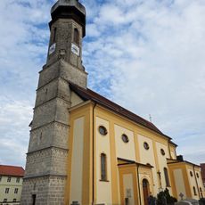
Mariä Himmelfahrt
4.7 kmReviews
Visited this place? Tap the stars to rate it and share your experience / photos with the community! Try now! You can cancel it anytime.
Discover hidden gems everywhere you go!
From secret cafés to breathtaking viewpoints, skip the crowded tourist spots and find places that match your style. Our app makes it easy with voice search, smart filtering, route optimization, and insider tips from travelers worldwide. Download now for the complete mobile experience.

A unique approach to discovering new places❞
— Le Figaro
All the places worth exploring❞
— France Info
A tailor-made excursion in just a few clicks❞
— 20 Minutes