
Bildstock, sprung; Sandstein, bezeichnet mit dem Jahr 1655
Location: Teisendorf
Address: Sprung
GPS coordinates: 47.83814,12.76269
Latest update: November 8, 2025 23:22
Maximilian II. Erbstollen
810 m
Bergbaumuseum Achthal
1.1 km
Knappen- und Hüttenarbeiterkapelle Maria Schnee
1.1 km
Ehemals Bauernhaus, sogenannt beim Wallner
1.3 km
Hofkapelle
1.4 km
Hofkapelle des sogenannten Huber-Hofs
1.1 km
Wegkapelle
1.3 km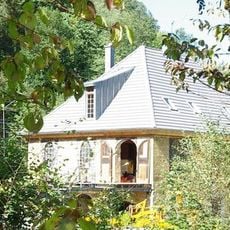
Ehemals Lagergebäude und Hammerwerk des Berg- und Hüttenwerks Achthal, sogenannte Schreinerei
1.2 km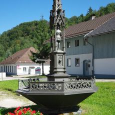
Brunnen aus Achthaler Eisenguss
1.1 km
Wohnhaus
1.4 km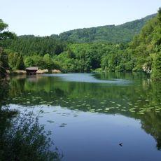
Oberes Surtal und Urstromtal Höglwörth
1.5 km
Wohnteil des Bauernhofs
1.3 km
Troadkasten
1.4 km
Wohnhaus
1.2 km
Wohnteil des Einfirsthofes
1.5 km
Wohnhaus
1.4 km
Cultural heritage D-1-8142-0170 in Teisendorf
1.1 km
Mauer Teisendorfer Straße 67; Teisendorfer Straße 69 in Teisendorf
1.1 km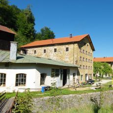
Ehemals Hochofen- und Produktionsgebäude des Berg- und Hüttenwerks Achthal, sogenannte Gießerei
1.1 km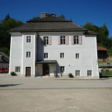
Bergbaumuseum
1.1 km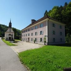
Ehemals Arbeiterwohnhaus des Berg- und Hüttenwerks Achthal
1.1 km
Stollenmund des Maximilian II. Erbstollens
810 m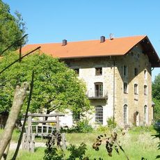
Ehemaliges Produktions- und Wohngebäude des Berg- und Hüttenwerks Achthal, sogenannte Schlosserei
1.2 km
Ehemals Bauernhaus mit Widerkehr
950 m
Ehemals Bauernhof
220 m
Ehemals Bauernhaus
1.3 km
Wohnteil des ehemaligen Bauernhauses
1.2 km
Hochhorn
1.5 kmReviews
Visited this place? Tap the stars to rate it and share your experience / photos with the community! Try now! You can cancel it anytime.
Discover hidden gems everywhere you go!
From secret cafés to breathtaking viewpoints, skip the crowded tourist spots and find places that match your style. Our app makes it easy with voice search, smart filtering, route optimization, and insider tips from travelers worldwide. Download now for the complete mobile experience.

A unique approach to discovering new places❞
— Le Figaro
All the places worth exploring❞
— France Info
A tailor-made excursion in just a few clicks❞
— 20 Minutes