
Friedhof, terrassierte Anlage mit gemauerten Grabstätten des 19. Jahrhunderts, archivalisch belegt seit 1627, städtischer Friedhof seit 1802, erste Erweiterung 1827, Erweiterungen 1866 und später; Friedhofskapelle St. Thekla, kleine Saalkirche mit Dachreite
Location: Dingolfing
Address: Friedhofweg 4
GPS coordinates: 48.62626,12.50112
Latest update: March 23, 2025 07:12
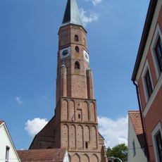
St. Johannes
298 m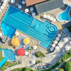
Caprima Freizeitbad
430 m
Franziskanerkloster Dingolfing
817 m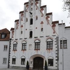
Herzogsburg Dingolfing
405 m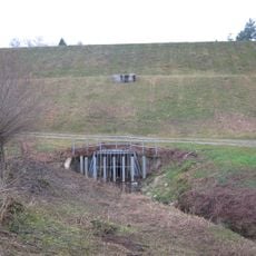
Hochwasserrückhaltebecken Asenbach
1.9 km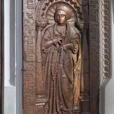
Grabstein für Anna Ecker
295 m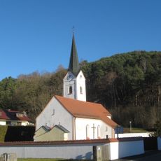
St. Laurentius, Frichlkofen
2 km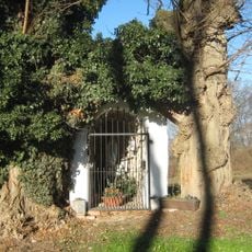
Golding-Lourdesgrotte
1.7 km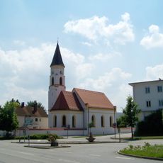
Katholische Filialkirche St. Antonius
1.5 km
Schutz von Landschaftsteilen in der Stadt Dingolfing, dem Markt Teisbach, sowie den Gemeinden Gottfrieding, Loiching, Mamming und Niederviehbach im Landkreis Dingolfing (LSG Isartal)
958 m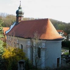
Wallfahrtskapelle Geißelung Christi
779 m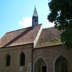
Dreifaltigkeitskapelle
262 m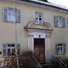
Pfarrhof
269 m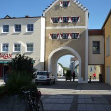
Wollertor
417 m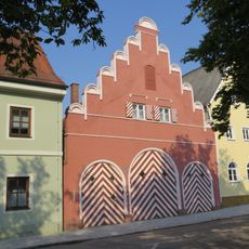
Ehemalige Fleischbank
469 m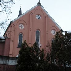
Klosterkirche zur Unbefleckten Empfängnis Mariä (Dingolfing)
777 m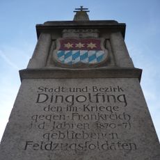
Kriegerdenkmal
457 m
Ehemaliges Amtsgerichtsgebäude
526 m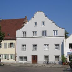
Bürgerhaus
432 m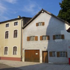
Doppelwohnhaus
523 m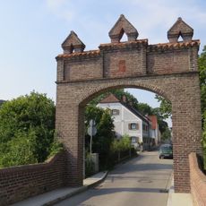
Wohnhaus
500 m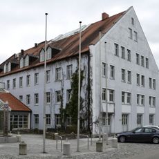
Obere Stadt 1
451 m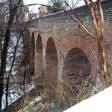
Hochbrücke
479 m
Stadel
658 m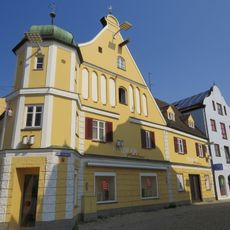
Bürgerhaus
502 m
Ehem. Gastwirtschaft und Bürgerhaus
476 m
Brauereigasthof Alte Post
451 m
Wohnstallhaus
1.8 kmReviews
Visited this place? Tap the stars to rate it and share your experience / photos with the community! Try now! You can cancel it anytime.
Discover hidden gems everywhere you go!
From secret cafés to breathtaking viewpoints, skip the crowded tourist spots and find places that match your style. Our app makes it easy with voice search, smart filtering, route optimization, and insider tips from travelers worldwide. Download now for the complete mobile experience.

A unique approach to discovering new places❞
— Le Figaro
All the places worth exploring❞
— France Info
A tailor-made excursion in just a few clicks❞
— 20 Minutes