
Kreuzweganlage, mit 14 Stationen, grottenartiger Kapelle, Gedenkstätte für den napoleonischen Feldzug 1809 und bildstockartigem Devotionalienhäuschen, um 1900
Location: Bad Abbach
Address: Dürrnbergweg, östlich vor dem Ort im Wald
GPS coordinates: 48.88615,12.11557
Latest update: May 27, 2025 21:21
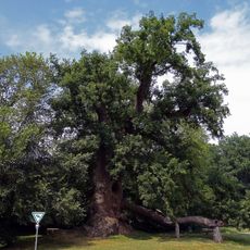
Wolfgangseiche
5.2 km
Paring Abbey
4.2 km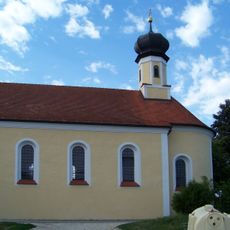
St. Petrus (Obersanding)
3.4 km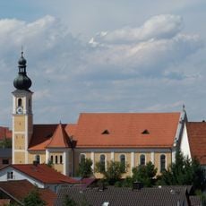
St. Nikolaus
4.4 km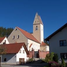
Mariä Himmelfahrt
4.6 km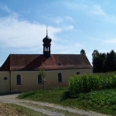
Maria vom Frieden
3.7 km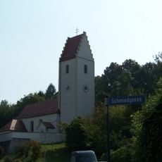
Mariä Himmelfahrt
5.2 km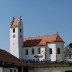
St. Pankratius
4.2 km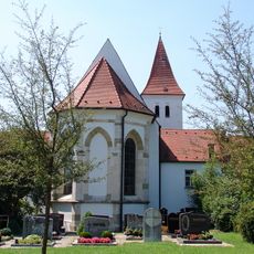
Klosterkirche Paring
4.2 km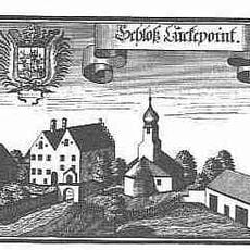
Burgstall Luckenpaint
1.7 km
St. Laurentius
1.7 km
Dünzling Kirche St. Martin
286 m
Katholische Kirche St. Peter und Paul
3.9 km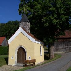
Dorfkapelle St. Wolfgang
1.1 km
Kath. Filialkirche St. Vitus
3.3 km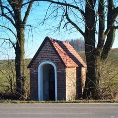
Wegkapelle
4.3 km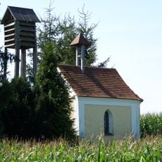
Hofkapelle St. Maria
5 km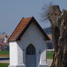
Wegkapelle
5.1 km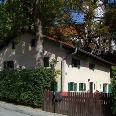
Bauernhaus
4.2 km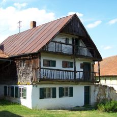
Ehem. Bauernhaus
3.3 km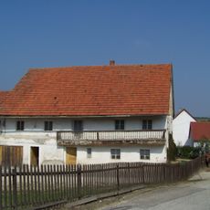
Bauernhaus
5.2 km
Gedenksäule westlich des Ortes
3.4 km
Pfarrhaus
4.5 km
Ehem. Pfarrhof
4.3 km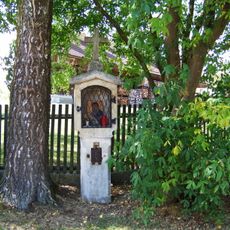
Bildstock
4.3 km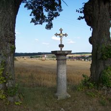
Wegkreuz
3.3 km
Denkmal für Bonifaz Wimmer
4.4 km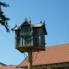
Zugehöriger Taubenschlag in Form eines Hauses
4.3 kmReviews
Visited this place? Tap the stars to rate it and share your experience / photos with the community! Try now! You can cancel it anytime.
Discover hidden gems everywhere you go!
From secret cafés to breathtaking viewpoints, skip the crowded tourist spots and find places that match your style. Our app makes it easy with voice search, smart filtering, route optimization, and insider tips from travelers worldwide. Download now for the complete mobile experience.

A unique approach to discovering new places❞
— Le Figaro
All the places worth exploring❞
— France Info
A tailor-made excursion in just a few clicks❞
— 20 Minutes