
Bildstock, sandsteinpfeiler mit Laterne und bekrönendem gusseisernem Kreuz, bezeichnet mit „1890“
Location: Vilseck
Address: Axtheider Äcker; an der Straße nach Vilseck bei Finkenmühle
GPS coordinates: 49.60651,11.82764
Latest update: March 29, 2025 04:21
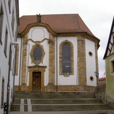
St. Ägidius
1.5 km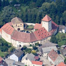
Burg Dagestein
1.6 km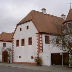
Ehemalige Burghut, sogenanntes Schlössl, Parallelhof
1.4 km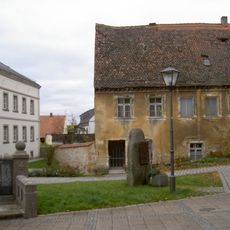
Pfarrhaus
1.5 km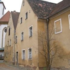
Ehemaliges Kaplanhaus
1.5 km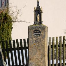
Wegkreuz
1.1 km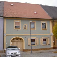
Ehemaliges Ackerbürgerhaus
1.5 km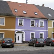
Ehemaliges Ackerbürgerhaus
1.5 km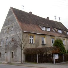
Vilseck Froschau 7
1.5 km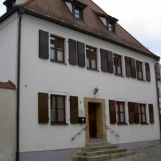
Vilseck Klostergasse 9
1.5 km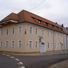
Vilseck Breite Gasse 1
1.6 km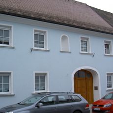
Ehemaliges Gasthaus
1.6 km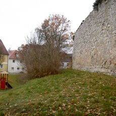
City walls of Vilseck
1.5 km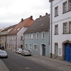
Gasthaus
1.6 km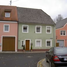
Ehemaliges Ackerbürgerhaus
1.5 km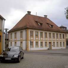
Bürgerspital
1.5 km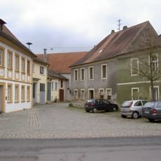
Vilseck Froschau 12
1.5 km
Frühmesshaus
1.6 km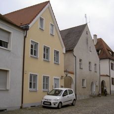
Ehemaliges Ackerbürgerhaus
1.5 km
Ehemaliges Ackerbürgerhaus
1.5 km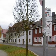
Wohnhaus
1.5 km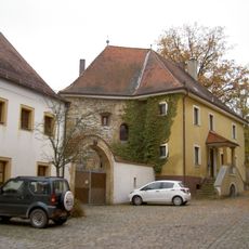
Vilseck Klostergasse 11
1.5 km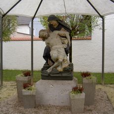
Pietà
1.5 km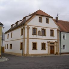
Ehemaliger Gasthof
1.5 km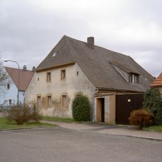
Bauernhaus
1.4 km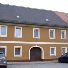
Ehemaliges Ackerbürgerhaus
1.5 km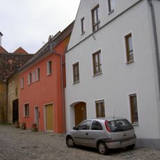
Ackerbürgerhaus
1.5 km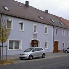
Ehemaliges Ackerbürgerhaus
1.5 kmReviews
Visited this place? Tap the stars to rate it and share your experience / photos with the community! Try now! You can cancel it anytime.
Discover hidden gems everywhere you go!
From secret cafés to breathtaking viewpoints, skip the crowded tourist spots and find places that match your style. Our app makes it easy with voice search, smart filtering, route optimization, and insider tips from travelers worldwide. Download now for the complete mobile experience.

A unique approach to discovering new places❞
— Le Figaro
All the places worth exploring❞
— France Info
A tailor-made excursion in just a few clicks❞
— 20 Minutes