
Bauernhof, wohnstallbau, eingeschossiger, verputzter Massivbau mit Satteldach, Eckrustizierung und gekehlten Sandsteingewänden, im Kern 18. Jahrhundert
Location: Kemnath
Address: Eisersdorf 5, Eisersdorf 3
GPS coordinates: 49.87809,11.89868
Latest update: March 16, 2025 12:06
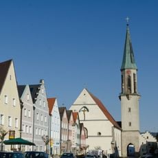
Mariä Himmelfahrt
997 m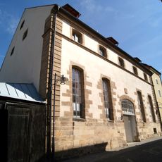
Brauhausstraße 9, Schützengraben 21
1.1 km
Alte Fronveste
1 km
Altes Rathaus
1.1 km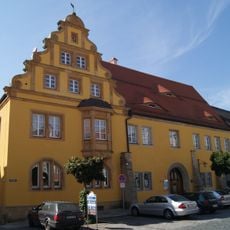
Stadtplatz 40
1.1 km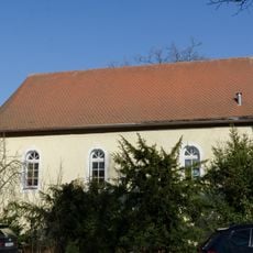
Grabenkirche
1.2 km
Stadtplatz 24, 26
1.1 km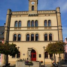
Brunnen
1.1 km
Schmidtstraße 21
974 m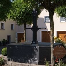
Brunnen
1.2 km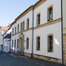
Trautenbergstraße 24
1.1 km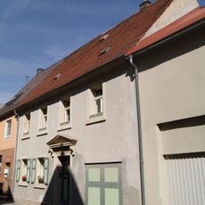
Schmidtstraße 15
1 km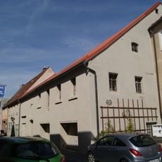
Schmidtstraße 17
993 m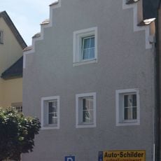
Stadtplatz 36
1.1 km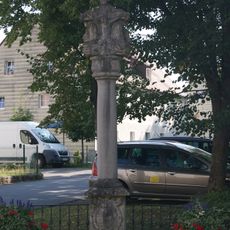
Bildstock
817 m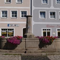
Brunnen
1 km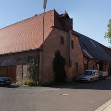
Scheunenviertel
878 m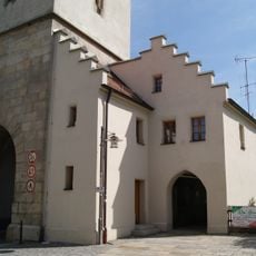
Torhaus
1 km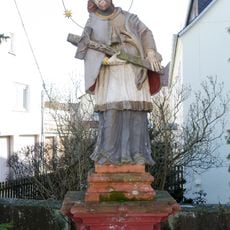
Brückenfigur des Heiligen Johann Nepomuk
980 m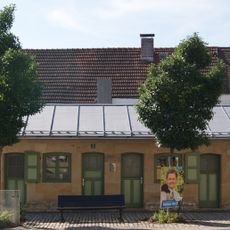
Ehemalige Fleischbank
966 m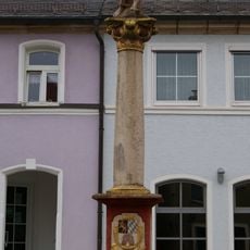
Bildstock
1.1 km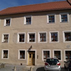
Schmidtstraße 19
981 m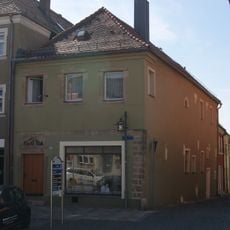
Stadtplatz 30
1.1 km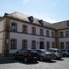
Rathausplatz 1
1.1 km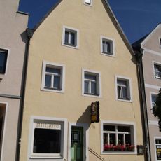
Stadtplatz 37
1 km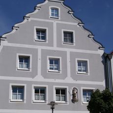
Hausfigur des heiligen Primianus
1 km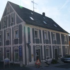
Friedrichstraße 1
954 m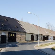
Scheunenviertel
1.1 kmReviews
Visited this place? Tap the stars to rate it and share your experience / photos with the community! Try now! You can cancel it anytime.
Discover hidden gems everywhere you go!
From secret cafés to breathtaking viewpoints, skip the crowded tourist spots and find places that match your style. Our app makes it easy with voice search, smart filtering, route optimization, and insider tips from travelers worldwide. Download now for the complete mobile experience.

A unique approach to discovering new places❞
— Le Figaro
All the places worth exploring❞
— France Info
A tailor-made excursion in just a few clicks❞
— 20 Minutes