
Kreuzigungsgruppe, Cultural heritage monument in Flörsheim am Main, Hesse, Germany
Location: Flörsheim am Main
Address: Philipp-Schneider-Straße
GPS coordinates: 50.02139,8.43862
Latest update: August 28, 2025 11:51
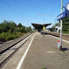
Flörsheim (Main) station
686 m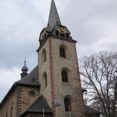
St. Gallus
1.3 km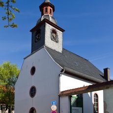
Protestant Church
1.1 km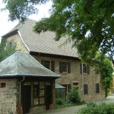
Kirchgasse 1
1.3 km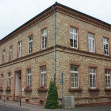
Ehemalige Schule und Rathaus
1.4 km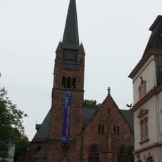
Evangelische Pfarrkirche
845 m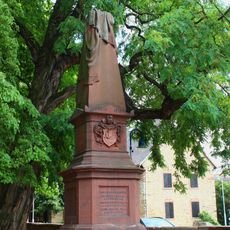
Kriegerdenkmal von 1879
1.3 km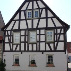
Hauptstraße 12
1.2 km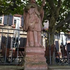
Hl. Nepomuk
1.3 km
Bahnhofstraße 18
783 m
Obermainstraße 30
1.2 km
Hauptstraße 38
1.4 km
Grabenstraße 4a
1.1 km
Hauptstraße 24
1.3 km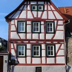
Pfarrer-Münch-Straße 5
1.4 km
Hauptstraße 31
1.3 km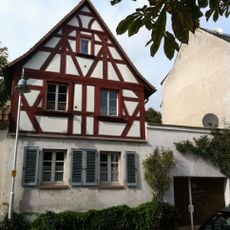
Hauptstraße 33
1.3 km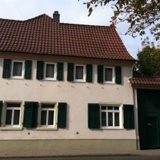
Hauptstraße 35
1.3 km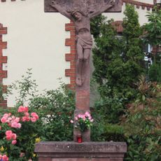
Wegkreuz
946 m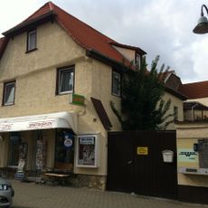
Hauptstraße 21
1.3 km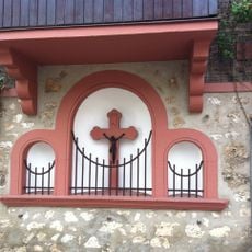
Sakramentsnische mit Kruzifix
1.4 km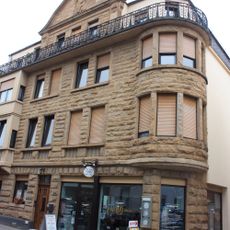
Grabenstraße 20
1.2 km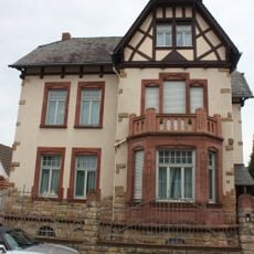
Grabenstraße 12
1.2 km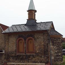
Kapelle
993 m
Gesamtanlage Flörsheim
1.4 km
Kirchgasse 20
1.3 km
Kirchgasse 22
1.3 km
Rathaus
883 mReviews
Visited this place? Tap the stars to rate it and share your experience / photos with the community! Try now! You can cancel it anytime.
Discover hidden gems everywhere you go!
From secret cafés to breathtaking viewpoints, skip the crowded tourist spots and find places that match your style. Our app makes it easy with voice search, smart filtering, route optimization, and insider tips from travelers worldwide. Download now for the complete mobile experience.

A unique approach to discovering new places❞
— Le Figaro
All the places worth exploring❞
— France Info
A tailor-made excursion in just a few clicks❞
— 20 Minutes