
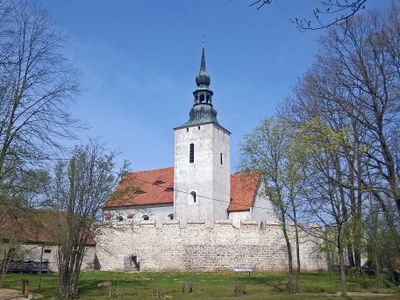
Wehrkirche Horka, Fortified church in Horka, Germany
The Wehrkirche Horka stands on a gentle hill, surrounded by a circular rampart with battlements measuring fifty meters in diameter.
The church's defensive structure was reinforced during the Hussite Wars between 1420 and 1434, with contributions from 72 local residents.
The Alexkammer, a barrel-vaulted Romanesque room now serving as a sacristy, represents the architectural evolution from medieval to Gothic periods.
A library constructed in 1729 above the gateway remains accessible through the battlements, containing historical books for clergy education.
Local records mention three underground passages connecting the church to nearby locations, with one tunnel discovered by an innkeeper in 1945.
Location: Horka
Inception: 1430
Address: Görlitzer Straße 48 (bei)
GPS coordinates: 51.28653,14.89234
Latest update: March 3, 2025 15:23
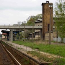
Horka station
2.1 km
Bahnhof Horka Gbf
3 km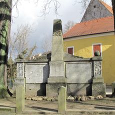
Kriegerdenkmal
45 m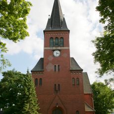
Evangelische Kirche Niesky
4.2 km
Katholische Pfarrkirche St. Josef Sonnenweg 18 (zwischen Rosenstraße 21 und 23)
4.5 km
Ödernitz Schule Brunnenstraße 9
3.5 km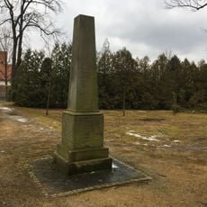
Niesky, Denkmal für die Gefallenen des Deutsch-Französischen Krieges
3.4 km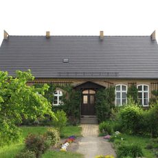
Niesky, ehemalige Schule, Ludwig-Ey-Straße 29
3.9 km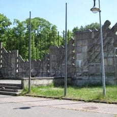
Niesky, Denkmal Platz der Jugend
4.5 km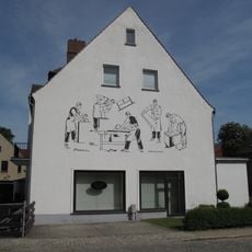
Niesky, Rothenburger Straße 1, Wandbild
4.3 km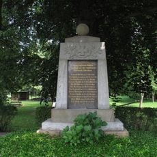
Särichen, Gefallenendenkmale WK I und WK II
2.8 km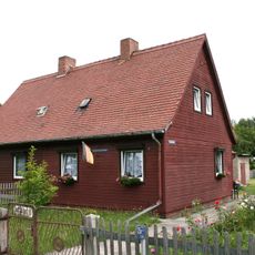
Doppelwohnhaus mit Anbau über Eck Schenkendorfstraße 2; 4
3.2 km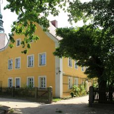
Pfarrhaus Horka
37 m
Niesky, Rothenburger Straße 6
4.3 km
Niesky, Rothenburger Straße 4
4.4 km
Doppelwohnhaus mit Anbau über Eck Schenkendorfstraße 5; 7
3.3 km
Doppelwohnhaus in offener Bebauung mit Anbau über Eck Schenkendorfstraße 6; 8
3.3 km
Eisenbahnstrecke Kohlfurt (Kolejowa) - Hoyerswerda; Bahnhof Niesky; Bahnhof mit Empfangsgebäude, Aborten und Güterschuppen Am Bahnhof 7
4.5 km
Doppelwohnhaus Christophstraße 12; 12a
3.9 km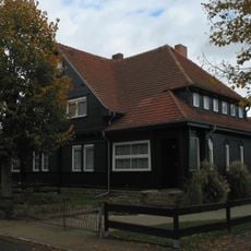
Doppelwohnhaus und Schuppen Christophstraße 11; 13
3.9 km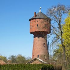
Château d'eau d'Uhsmannsdorf
4.5 km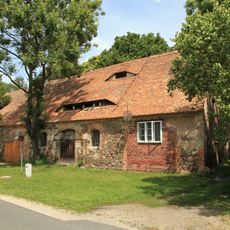
Einzeldenkmale der Sachgesamtheit Rittergut Horka: Stallscheune des ehemaligen Gutshofes (siehe auch Sachgesamtheitsliste Am Gemeindeamt 2, 3, 4 - obj. 08985816) Am Gemeindeamt 4
1.2 km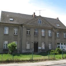
Niesky, Rothenburger Straße 8
4.3 km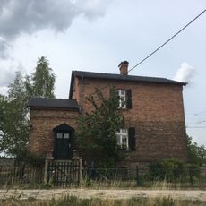
Horka Bahnwärterhaus Am Gleisdreieck 1
1.7 km
Wegestein Am Gemeindeamt 9 (gegenüber)
1.2 km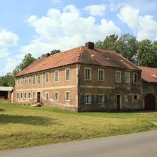
Einzeldenkmale der Sachgesamtheit Rittergut Horka: Wohnhaus mit Wirtschaftsflügel (siehe auch Sachgesamtheitsliste Am Gemeindeamt 2, 3, 4 - obj. 08985816) Am Gemeindeamt 3
1.2 km
Einzeldenkmal der Sachgesamtheit Rittergut Horka: ehem. Herrenhaus (siehe auch Sachgesamtheitsliste Am Gemeindeamt 2, 3, 4 - obj. 08985816) Am Gemeindeamt 2
1.2 km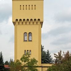
Wasserturm Fritz-Schubert-Straße 19
3.9 kmReviews
Visited this place? Tap the stars to rate it and share your experience / photos with the community! Try now! You can cancel it anytime.
Discover hidden gems everywhere you go!
From secret cafés to breathtaking viewpoints, skip the crowded tourist spots and find places that match your style. Our app makes it easy with voice search, smart filtering, route optimization, and insider tips from travelers worldwide. Download now for the complete mobile experience.

A unique approach to discovering new places❞
— Le Figaro
All the places worth exploring❞
— France Info
A tailor-made excursion in just a few clicks❞
— 20 Minutes