
Kleingewässerlandschaft nördlich von Jördenstorf, protected area in the European Union defined by the habitats directive in Mecklenburg-Vorpommern, Germany
Location: Schwasdorf
Location: Jördenstorf
Inception: 2004
GPS coordinates: 53.89433,12.59835
Latest update: June 14, 2025 08:08
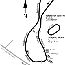
Teterower Bergring
11.7 km
Burgwallinsel
11.3 km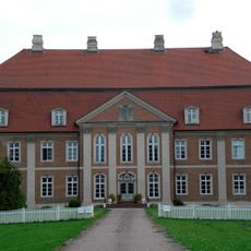
Schloss Prebberede
7.3 km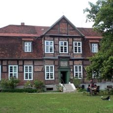
Herrenhaus Schwiessel
9.6 km
Church in Basse
11.1 km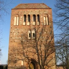
Church in Hohen Mistorf
13.1 km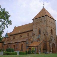
Dorfkirche Belitz
6.1 km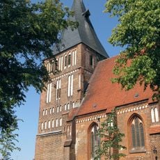
Marienkirche
11 km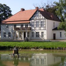
Herrenhaus Tellow
7.7 km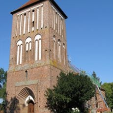
Church in Warnkenhagen
11.2 km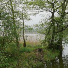
Binsenbrink im Teterower See
12 km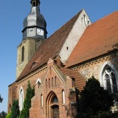
Church in Boddin
5.7 km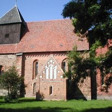
Dorfkirche Altkalen
9.4 km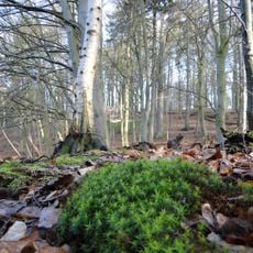
Teterower Heidberge
11 km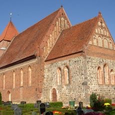
Dorfkirche Jördenstorf
2.2 km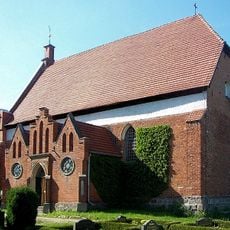
Church in Walkendorf
7.3 km
Burgwall Neu Nieköhr
6.3 km
Dorfkirche Schorrentin
12.1 km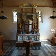
Dorfkirche Levitzow
6.3 km
Großsteingrab Groß Ridsenow
13.1 km
Dammer Postmoor
9.8 km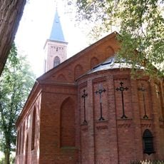
Church in Groß Markow
9.8 km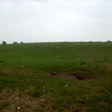
Burgwall Altkalen
9.5 km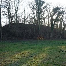
Burgwall Wardow
12.4 km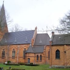
Church in Polchow
9.8 km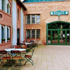
FerienGut Dalwitz - Rezeption
6 km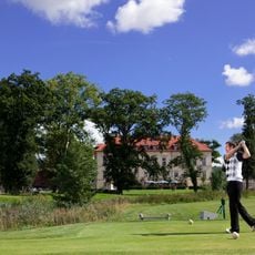
Golfplatz Teschow
11.5 km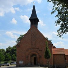
Heilige Familie
7.2 kmReviews
Visited this place? Tap the stars to rate it and share your experience / photos with the community! Try now! You can cancel it anytime.
Discover hidden gems everywhere you go!
From secret cafés to breathtaking viewpoints, skip the crowded tourist spots and find places that match your style. Our app makes it easy with voice search, smart filtering, route optimization, and insider tips from travelers worldwide. Download now for the complete mobile experience.

A unique approach to discovering new places❞
— Le Figaro
All the places worth exploring❞
— France Info
A tailor-made excursion in just a few clicks❞
— 20 Minutes