Rheinniederung von Wittenweier bis Kehl, protected area in the European Union defined by the habitats directive in Baden-Württemberg, Germany
Location: Kehl
Location: Willstätt
Location: Neuried
Location: Meißenheim
Location: Schwanau
Inception: 2004
GPS coordinates: 48.44757,7.77756
Latest update: March 21, 2025 11:55
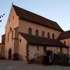
St Trophimus' Church, Eschau
6.6 km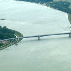
Pierre Pflimlin Bridge
4.9 km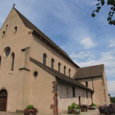
Couvent Saint-Trophime d'Eschau
6.6 km
Plan d'eau de Plobsheim
2.4 km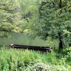
Erstein Forest National Nature Reserve
4.5 km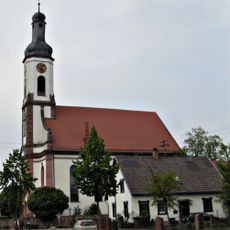
Kirche Meißenheim
4 km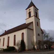
Saint Nicholas Church
3.1 km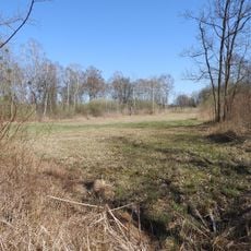
Sauscholle
1.1 km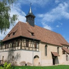
Chapelle Sainte-Marie-du-Chêne de Plobsheim
4.9 km
Golf du Kempferhof
2.8 km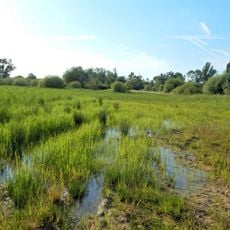
Salmengrund
1.7 km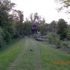
Thomasschollen
5.4 km
Château des Zorn
4.7 km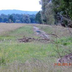
Unterwassermatten
6.4 km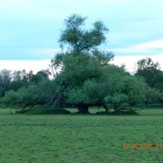
Kinzig-Schutter-Niederung
5.5 km
Maison, 38 rue de la Première-Division-Blindée, Eschau
6.4 km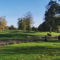
Golf de Strasbourg
6.9 km
Église Saint-Amand d'Ohnheim
7.3 km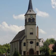
Église Saints-Pierre-et-Paul de Plobsheim
4.9 km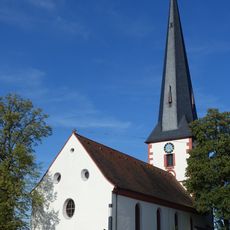
Protestant Church
7 km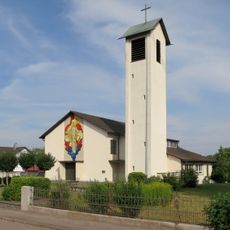
Protestant church
7.4 km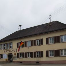
Old city hall
4.2 km
City hall
3.5 km
Wegekreuz Engel
6.9 km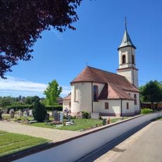
St. Ulrich
5.2 km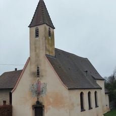
Chapelle de la Vierge de Krafft
6.4 km
Croix de cimetière à Plobsheim
4.7 km
Église protestante de Plobsheim
4.7 kmReviews
Visited this place? Tap the stars to rate it and share your experience / photos with the community! Try now! You can cancel it anytime.
Discover hidden gems everywhere you go!
From secret cafés to breathtaking viewpoints, skip the crowded tourist spots and find places that match your style. Our app makes it easy with voice search, smart filtering, route optimization, and insider tips from travelers worldwide. Download now for the complete mobile experience.

A unique approach to discovering new places❞
— Le Figaro
All the places worth exploring❞
— France Info
A tailor-made excursion in just a few clicks❞
— 20 Minutes