
Attendorner Tropfsteinhöhle, protected area in the European Union defined by the habitats directive in Nordrhein-Westfalen, Germany
Location: Attendorn
Inception: 2000
GPS coordinates: 51.12749,7.91795
Latest update: March 21, 2025 08:29
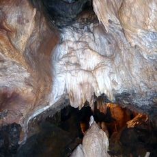
Atta Cave
306 m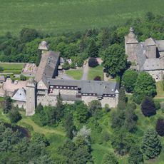
Burg Schnellenberg
1.5 km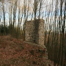
Waldenburg
3.1 km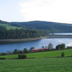
Biggesee
2.5 km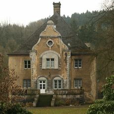
Ahausen
3 km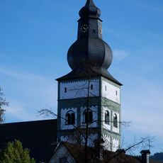
St. Johannes Baptist
1 km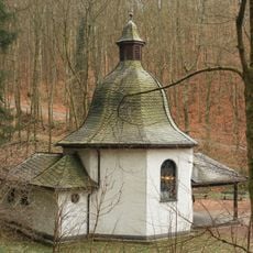
Waldenburger Kapelle
3.1 km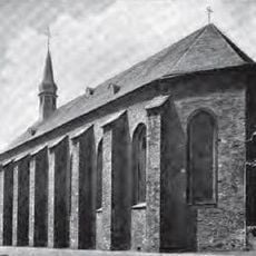
Franziskanerkloster Attendorn
1.2 km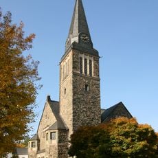
Evangelische Kirche Attendorn
1.3 km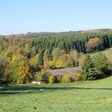
Dahlhausen
3.7 km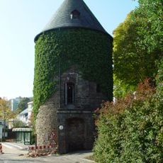
Bieketurm
1.1 km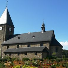
St. Hippolytus
2.7 km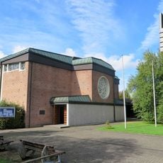
St. Augustinus
3.3 km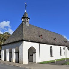
Hospitalkirche Attendorn
953 m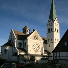
St. Antonius Einsiedler
3.9 km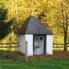
Bremge bei Ennest
2.6 km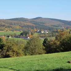
Keseberg
3.9 km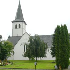
St. Martin
4.1 km
Rautersbeul
3.2 km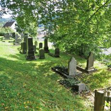
Jewish cemetery, Attendorn
845 m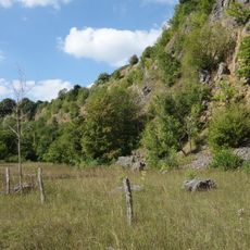
Steinbruch Biggen
657 m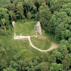
Waldenburg
3.6 km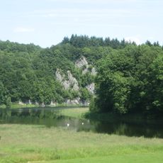
Ahauser Klippen und Stausee
2.5 km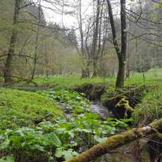
Eckenbach-Quellbäche
4 km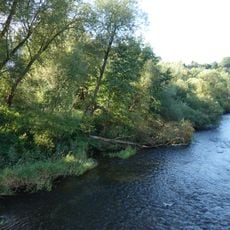
Auwald Biggen
744 m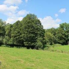
Repe
2.1 km
In der Stesse
2.5 km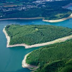
Gilberginsel
4.3 kmReviews
Visited this place? Tap the stars to rate it and share your experience / photos with the community! Try now! You can cancel it anytime.
Discover hidden gems everywhere you go!
From secret cafés to breathtaking viewpoints, skip the crowded tourist spots and find places that match your style. Our app makes it easy with voice search, smart filtering, route optimization, and insider tips from travelers worldwide. Download now for the complete mobile experience.

A unique approach to discovering new places❞
— Le Figaro
All the places worth exploring❞
— France Info
A tailor-made excursion in just a few clicks❞
— 20 Minutes