
Kallenbachtal zwischen Arborn und Obershausen, protected area in the European Union defined by the habitats directive in Hessen, Germany
Location: Greifenstein
Location: Löhnberg
Inception: 2004
GPS coordinates: 50.57475,8.20507
Latest update: March 30, 2025 16:36

Maienburg
3.2 km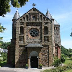
St. Laurentius
3 km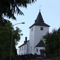
Pfarrkirche Nenderoth
890 m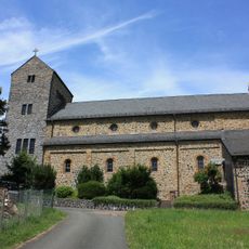
St. Michael
3.4 km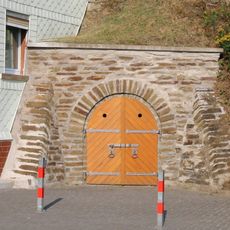
Stolleneingang
2.9 km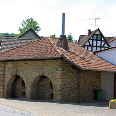
Backhaus
2.9 km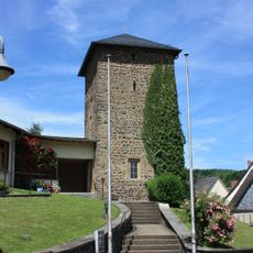
Alter Kirchturm
2.9 km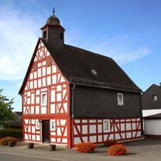
Alte Schule mit Betsaal
2 km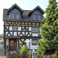
Gartenfeldstraße 2
2.9 km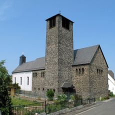
Kath. Pfarrkirche Mariae Geburt
3.4 km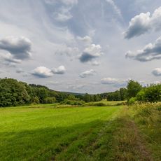
Kallenbachtal bei Arborn und Nenderoth
816 m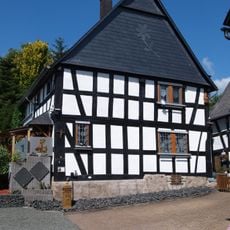
Gartenfeldstraße 1
2.9 km
Marktstraße 22
3 km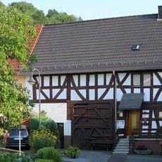
Neugasse 6
2.9 km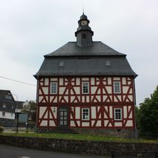
Ehemalige Schule mit Betsaal
3.3 km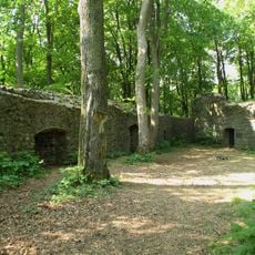
Maienburg bei Winkels
3.2 km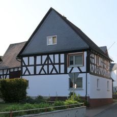
Gartenfeldstraße 3
2.9 km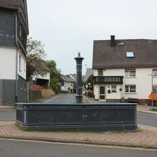
Laufbrunnen
3.3 km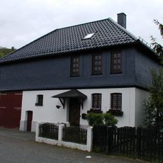
Marktstraße 26
2.9 km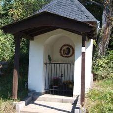
Waldkapelle
3.4 km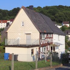
Marktstraße 14
3 km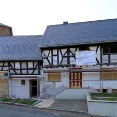
Marktstraße 5
2.9 km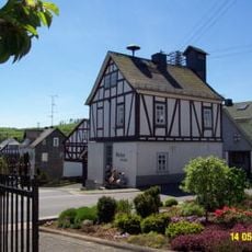
Fachwerkbau
935 m
Schulgasse 4
3.4 km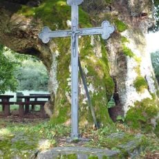
Kreuz nahe der ehem. Heiligkreuzkirche
2.6 km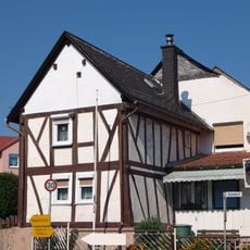
Nordweststraße 2
3.4 km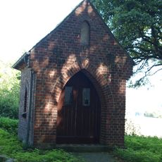
Herz-Jesu-Kapelle
2.9 km
Kapelle "Heiligenhäuschen"
2.5 kmReviews
Visited this place? Tap the stars to rate it and share your experience / photos with the community! Try now! You can cancel it anytime.
Discover hidden gems everywhere you go!
From secret cafés to breathtaking viewpoints, skip the crowded tourist spots and find places that match your style. Our app makes it easy with voice search, smart filtering, route optimization, and insider tips from travelers worldwide. Download now for the complete mobile experience.

A unique approach to discovering new places❞
— Le Figaro
All the places worth exploring❞
— France Info
A tailor-made excursion in just a few clicks❞
— 20 Minutes