
LSG-Hangbereiche suedwestlich der A59 und B42n Kuedinghoven/Oberkassel
LSG-Hangbereiche suedwestlich der A59 und B42n Kuedinghoven/Oberkassel, protected area in Germany
Location: Bonn
Inception: 2004
GPS coordinates: 50.71917,7.16660
Latest update: August 12, 2025 12:39
Ernst-Kalkuhl-Gymnasium
527 m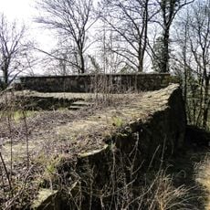
Steiner Häuschen
541 m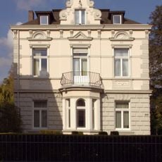
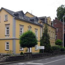
Königswinterer Straße 597
464 m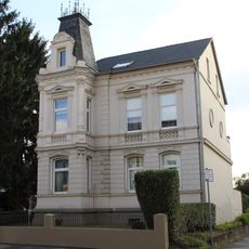
Königswinterer Straße 566
503 m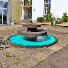
Brunnen Ernst-Kalkuhl-Gymnasium
532 m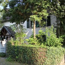
Hosterbacher Straße 28
116 m
Kalkuhlstraße 29
673 m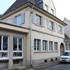
Kastellstraße 21
726 m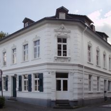
Kastellstraße 3
720 m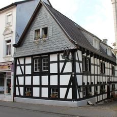
Königswinterer Straße 685
673 m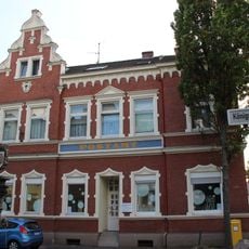
Königswinterer Straße 634
653 m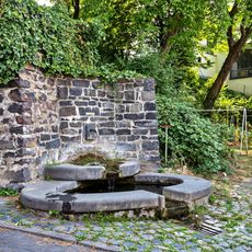
Brunnen Alsstraße
242 m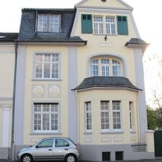
Königswinterer Straße 574
501 m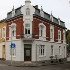
Cäcilienstraße 31
600 m
Hosterbacher Straße 16
120 m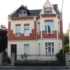
Königswinterer Straße 578
502 m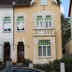
Königswinterer Straße 603
469 m
Königswinterer Straße 576
500 m
Königswinterer Straße 601
468 m
Königswinterer Straße 595
476 m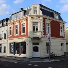
Königswinterer Straße 615
487 m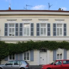
Königswinterer Straße 629
511 m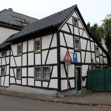
Adrianstraße 139
632 m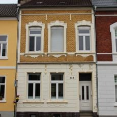
Adrianstraße 137
597 m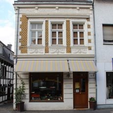
Königswinterer Straße 689
680 m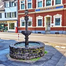
Jakob-Müller-Brunnen
637 m
Kastellstraße 2
697 m
Hosterbacher Straße 10
155 mReviews
Visited this place? Tap the stars to rate it and share your experience / photos with the community! Try now! You can cancel it anytime.
Discover hidden gems everywhere you go!
From secret cafés to breathtaking viewpoints, skip the crowded tourist spots and find places that match your style. Our app makes it easy with voice search, smart filtering, route optimization, and insider tips from travelers worldwide. Download now for the complete mobile experience.

A unique approach to discovering new places❞
— Le Figaro
All the places worth exploring❞
— France Info
A tailor-made excursion in just a few clicks❞
— 20 Minutes