
Aufgelassene Sandgrube östlich Riding, protected area in the European Union defined by the habitats directive in Bayern, Germany
Location: Erding
Inception: 2000
GPS coordinates: 48.37821,12.00102
Latest update: March 15, 2025 17:56
Wallfahrtskirche Maria Thalheim
2.8 km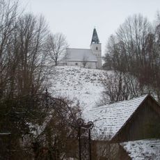
Burg Wartenberg
3.1 km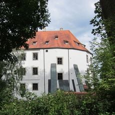
Schloss Fraunberg
1.3 km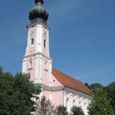
Pfarrkirche Mariä Geburt
3 km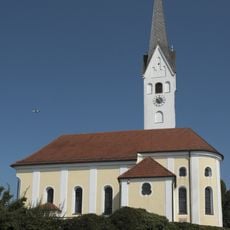
St. Florian
1.2 km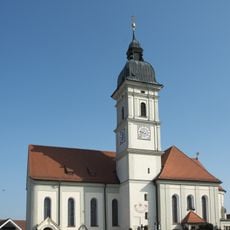
St. Michael (Reichenkirchen)
2.8 km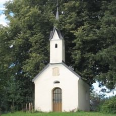
Hofkapelle St. Florian
2.1 km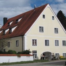
Ehemaliges Mesnerhaus
2.8 km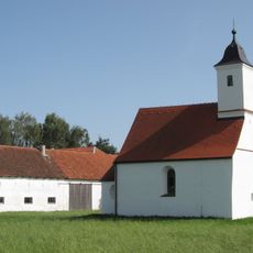
Katholische Filialkirche St. Ulrich
2.8 km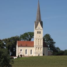
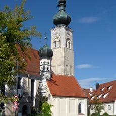
St. Georg
370 m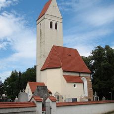
Ehemalige Pfarrkirche St. Georg
2.9 km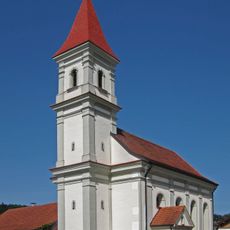
St. Bartholomäus
2.3 km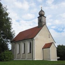
Katholische Filialkirche St. Sebastian
3.4 km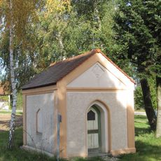
Hofkapelle mit Lourdesgrotte
3.7 km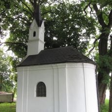
Hofkapelle
1.9 km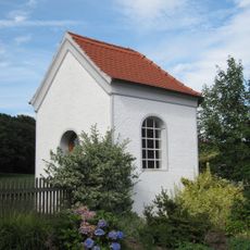
Kapelle
4 km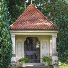
Kapelle
3 km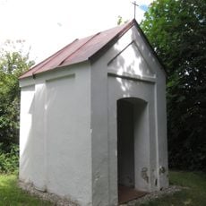
Ehemalige Hofkapelle auf dem Klausenberg
2.6 km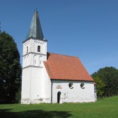
St. Nikolaus (Wartenberg, Upper Bavaria)
3.1 km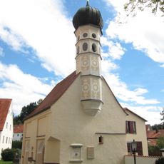
Friedhofskapelle St. Michael
2.8 km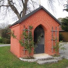
Lourdeskapelle
1.2 km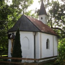
Hofkapelle des Angermaierhofes
3.6 km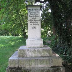
Gedenkstele Burg Wartenberg
3.1 km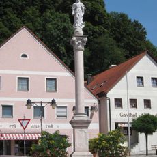
Mariensäule
3.1 km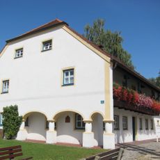
Wohnhaus
2.8 km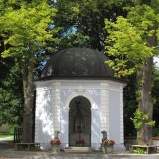
Brunnenhaus
2.8 km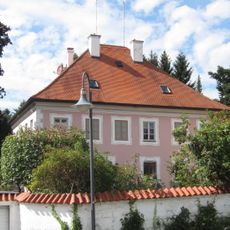
Ehemaliges Pfarrhaus
2.8 km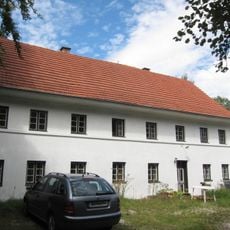
Bauernhaus
2.8 kmReviews
Visited this place? Tap the stars to rate it and share your experience / photos with the community! Try now! You can cancel it anytime.
Discover hidden gems everywhere you go!
From secret cafés to breathtaking viewpoints, skip the crowded tourist spots and find places that match your style. Our app makes it easy with voice search, smart filtering, route optimization, and insider tips from travelers worldwide. Download now for the complete mobile experience.

A unique approach to discovering new places❞
— Le Figaro
All the places worth exploring❞
— France Info
A tailor-made excursion in just a few clicks❞
— 20 Minutes