
Zarasai, city in Lithuania
Location: Zarasai District Municipality
Elevation above the sea: 134 m
Website: http://zarasai.lt
GPS coordinates: 55.73056,26.24722
Latest update: March 3, 2025 04:28

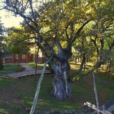
Stelmužė Oak
11.2 km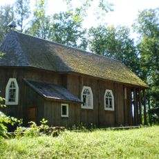
Stelmužė church
11.2 km
Mukuliai manor
9.5 km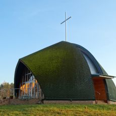
Chapel, Kvintiškės
13 km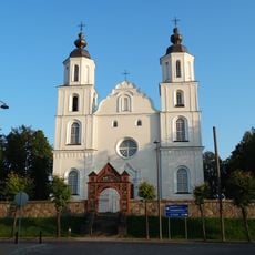
Church of the Assumption, Zarasai
110 m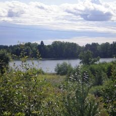
Medumi Lakes Nature Park
8.5 km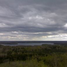
Augšzeme protected landscape area
9.4 km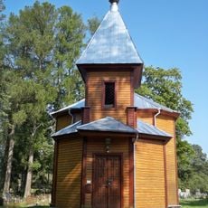
All Saints Orthodox church in Zarasai
1.1 km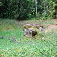
Lygumų akmuo
11.7 km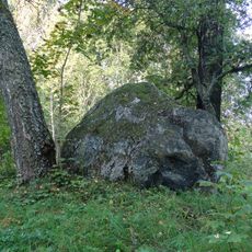
Boulder "Raganos sostas"
11.8 km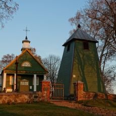
Church of Crucified Jesus, Imbradas
9.5 km
Mukulių ąžuolas
10.2 km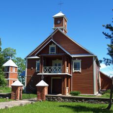
Smalvos church
12.3 km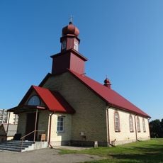
Old Believers Church in Zarasai
1.1 km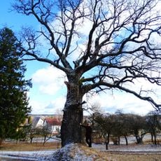
Ditkūnų ąžuolas
2.3 km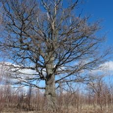
Mukulių III ąžuolas
9.2 km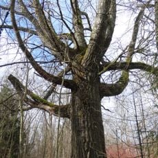
Mukulių tuopa
9.4 km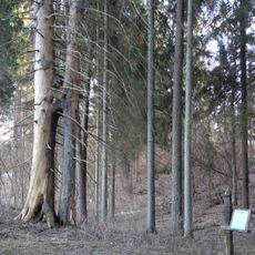
Eglės Sesės
12.6 km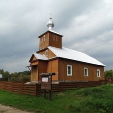
Old Believers Church in Raistiniškės
12.2 km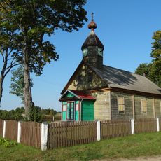
Old Believers Church in Rūsteikiai
9.9 km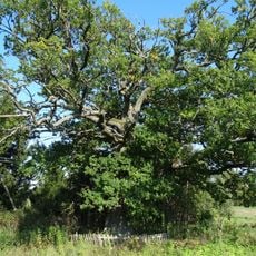
Imbrado ąžuolas
9.4 km
Pakalniškiai hillfort, Zarasai
8.3 km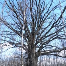
Mukulių II ąžuolas
9.2 km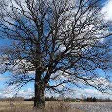
Mukulių IV ąžuolas
9.1 km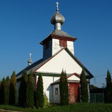
Old Believers Church in Minauka
3.7 km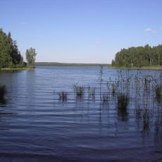
Sventas Landscape Reserve
12.7 km
Asavytai hillfort
7.4 km
Gailiutiškės pilkapynas
13 kmReviews
Visited this place? Tap the stars to rate it and share your experience / photos with the community! Try now! You can cancel it anytime.
Discover hidden gems everywhere you go!
From secret cafés to breathtaking viewpoints, skip the crowded tourist spots and find places that match your style. Our app makes it easy with voice search, smart filtering, route optimization, and insider tips from travelers worldwide. Download now for the complete mobile experience.

A unique approach to discovering new places❞
— Le Figaro
All the places worth exploring❞
— France Info
A tailor-made excursion in just a few clicks❞
— 20 Minutes