
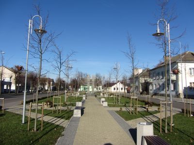
Eišiškės, city in southeastern Lithuania
Location: Šalčininkai District Municipality
Elevation above the sea: 159 m
GPS coordinates: 54.16667,25.00000
Latest update: March 5, 2025 10:18
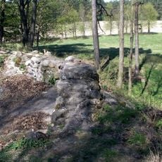
Eišiškių piliavietė
1.6 km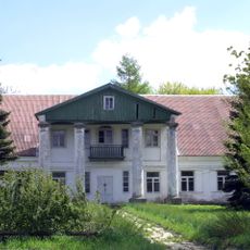
Gornostajiškės Manor
2.7 km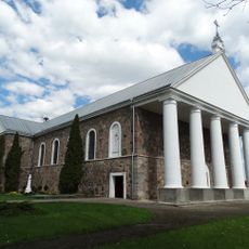
Church of the Ascension of Christ the King, Eišiškės
1.6 km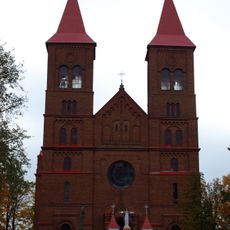
Church of the Immaculate Conception, Kalesninkai
10.6 km
Raduń Castle
15.1 km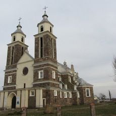
Церковь Девы Марии Розария
13.9 km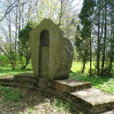
Paminklinis akmuo Stanislovui Rapolioniui
2.6 km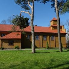
Church of St. Michael the Archangel, Butrimonys
14.3 km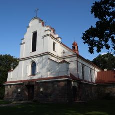
Church of the Assumption, Pabarė
13.3 km
Tetervinų piliakalnis
16.8 km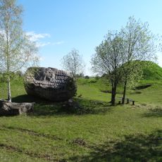
Rezius
13 km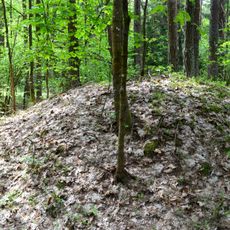
Category:Pabarė tumuli
14.1 km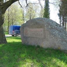
Jančiūnų akmuo
10.7 km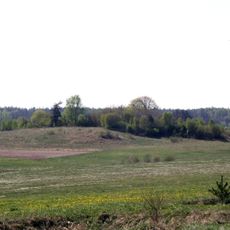
Kaniavėlė hillfort
17.1 km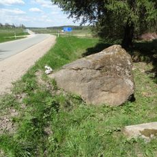
Pulstakų akmuo
10.3 km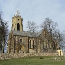
Parafia św. Jerzego w Osowie
17.2 km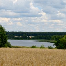
Jurgionių tvenkinys
15.4 km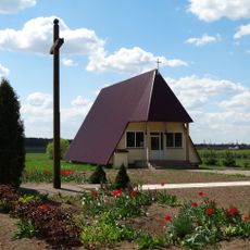
Dainavos koplyčia
9.5 km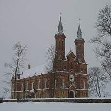
Church in Nača
14.9 km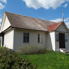
Chapel, Tetėnai
15.8 km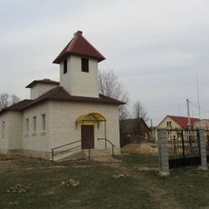
Saint Euphrosyne of Polack church in Raduń
12.7 km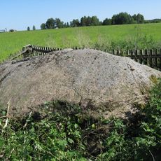
Natural monument
16.7 km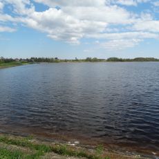
Padvarionių tvenkinys
3 km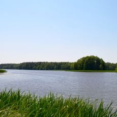
Eišiškių HE tvenkinys
10.1 km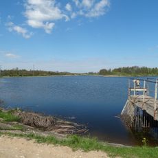
Rakliškių tvenkinys
13.6 km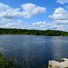
Samarakiškės tvenkinys
10 km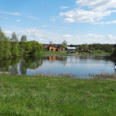
Tetėnų II tvenkinys
15.2 km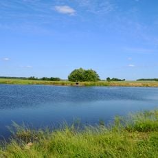
Liupkiškės tvenkinys
8 kmVisited this place? Tap the stars to rate it and share your experience / photos with the community! Try now! You can cancel it anytime.
Discover hidden gems everywhere you go!
From secret cafés to breathtaking viewpoints, skip the crowded tourist spots and find places that match your style. Our app makes it easy with voice search, smart filtering, route optimization, and insider tips from travelers worldwide. Download now for the complete mobile experience.

A unique approach to discovering new places❞
— Le Figaro
All the places worth exploring❞
— France Info
A tailor-made excursion in just a few clicks❞
— 20 Minutes