
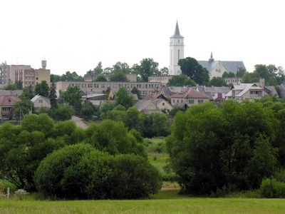
Viekšniai, city
Location: Mažeikiai District Municipality
Elevation above the sea: 62 m
GPS coordinates: 56.23889,22.51389
Latest update: March 4, 2025 21:28

Venta Regional Park
7.7 km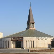
Church of St. Francis of Assisi, Mažeikiai
13 km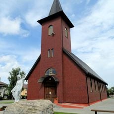
Church of the Immaculate Conception, Venta
12.1 km
Church of the Sacred Heart of Jesus in Mažeikiai
13.3 km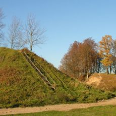
Daubariai hillfort
14.2 km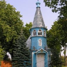
Orthodox church in Mažeikiai
14.1 km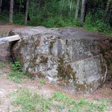
Black stone, Mažeikiai
2.6 km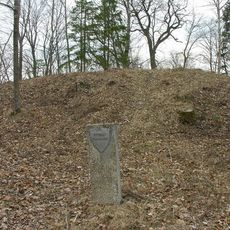
Gyvoliai hillfort
4.1 km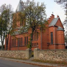
Church in Tirkšliai
13.2 km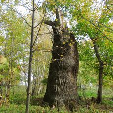
Gargzdai thick oak
9.6 km
Pievėnų Nukryžiuotojo Jėzaus bažnyčia
11.6 km
Church of St. John the Baptist, Viekšniai
544 m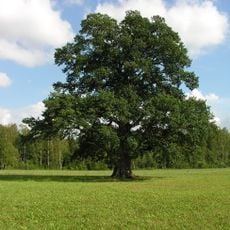
Zibikai oak
5.6 km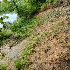
Purviai outcrop
8.7 km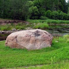
Skleipių akmuo
8 km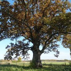
Medžialenkės ąžuolas
7.2 km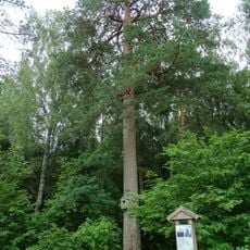
Santeklių pušis
3.9 km
Evangelical Lutheran Church in Mažeikiai
13.7 km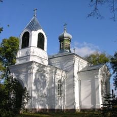
Orthodox church in Viekšniai
393 m
Church of St. Mary Magdalene in Užlieknė
6.9 km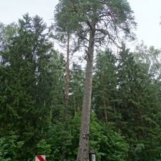
Santeklinės pušis
3.1 km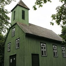
Church of St. Stanislaus the Bishop, Dauginiai
10 km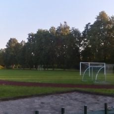
Akmenė stadium
14.2 km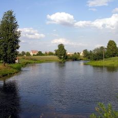
Palnosų tvenkinys
4.7 km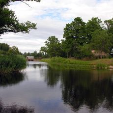
Skleipių tvenkinys
8.3 km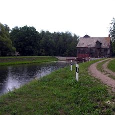
Gudų tvenkinys
6.1 km
Viekšnių malūno tvenkinys
931 m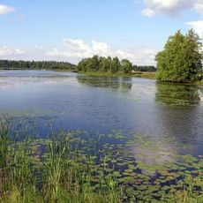
Žibikų tvenkinys
5.8 kmVisited this place? Tap the stars to rate it and share your experience / photos with the community! Try now! You can cancel it anytime.
Discover hidden gems everywhere you go!
From secret cafés to breathtaking viewpoints, skip the crowded tourist spots and find places that match your style. Our app makes it easy with voice search, smart filtering, route optimization, and insider tips from travelers worldwide. Download now for the complete mobile experience.

A unique approach to discovering new places❞
— Le Figaro
All the places worth exploring❞
— France Info
A tailor-made excursion in just a few clicks❞
— 20 Minutes