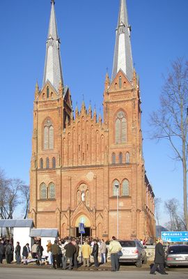
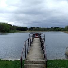
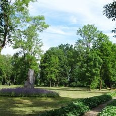
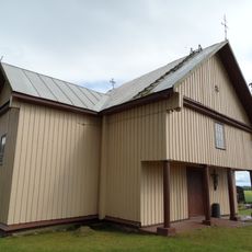
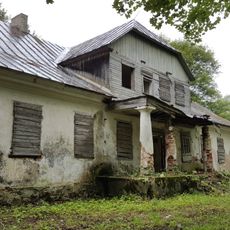
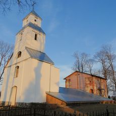
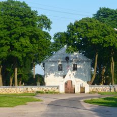
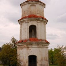
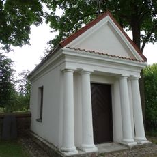
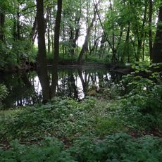
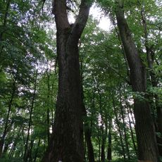
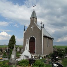
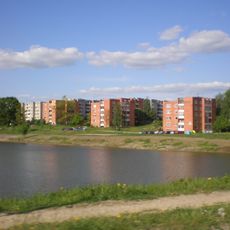
Žeimiai, human settlement
Location: Jonava District Municipality
Elevation above the sea: 67 m
GPS coordinates: 55.18056,24.22222
Latest update: May 11, 2025 08:24
Žeimiai Manor
598 m
Church of the Nativity of the Virgin Mary, Žeimiai
169 m
Jonavos III tvenkinys
10.6 km
Gutshof Kulva
9.4 km
Juciūnų koplyčia
6.8 km
Bukonys manor
10.4 km
Paberžė hillfort
9 km
Daigučiai manor
8.7 km
Žeimiai Hillfort
414 m
Church of the Blessed Virgin Mary in Kulva
8.3 km
Church of St. Michael the Archangel, Bukonys
10.7 km
Gutshof Vainiai
7 km
Žeimiai manor chapel
363 m
Žeimiai North chapel
138 m
Vainiai Manor Park
6.6 km
Vainiai poplar
7 km
Lukšiai cemetery chapel
9.5 km
Jonavos II tvenkinys
11.1 km
Stašaičiai hillfort
9.5 km
Lankesa Botanical Reserve
8.9 km
Chapel in Šėta
11.3 km
Žeimiai South chapel
169 m
Žeimiai Kosakovski chapel
162 m
Girelės rajoninė katilinė
10.8 km
Normainių akmuo
4.7 km
Chapel in Kulva
8.3 km
Šilas forest oak
8.5 km
Chapel in Aukupėnai
8.2 kmReviews
Visited this place? Tap the stars to rate it and share your experience / photos with the community! Try now! You can cancel it anytime.
Discover hidden gems everywhere you go!
From secret cafés to breathtaking viewpoints, skip the crowded tourist spots and find places that match your style. Our app makes it easy with voice search, smart filtering, route optimization, and insider tips from travelers worldwide. Download now for the complete mobile experience.
A unique approach to discovering new places❞
— Le Figaro
All the places worth exploring❞
— France Info
A tailor-made excursion in just a few clicks❞
— 20 Minutes