
Panemunis, town in Panevėžys County, Lithuania
Location: Rokiškis District Municipality
Elevation above the sea: 88 m
GPS coordinates: 56.06111,25.27778
Latest update: March 25, 2025 23:38

Onuškis Manor
18 km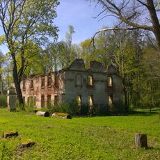
Nereta Manor
10.5 km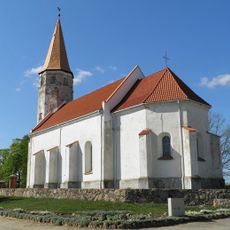
Lutheran church in Nereta
16.1 km
Margos kalnas
17.4 km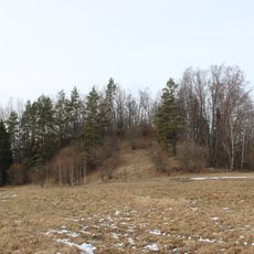
Stupeļu hillfort
16.8 km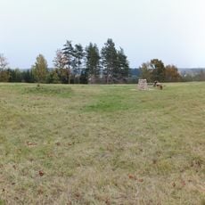
Moškėnų piliakalnis
14.4 km
Church of St. Peter and St. Paul, Čedasai
9.6 km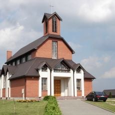
Roman Catholic church in Nereta
16 km
Church of the Blessed Virgin Mary the Immaculate, Papilys
18 km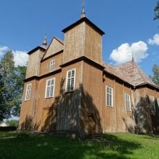
Church of St. Michael the Archangel, Onuškis
17.5 km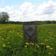
Žiobų piliakalnis
17.4 km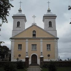
Church of the Holy Name of the Virgin Mary, Pandėlys
5.4 km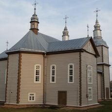
Church of St. John the Baptist, Kvetkai
13.1 km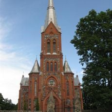
Church of St. Michael the Archangel, Žiobiškis
12.9 km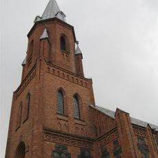
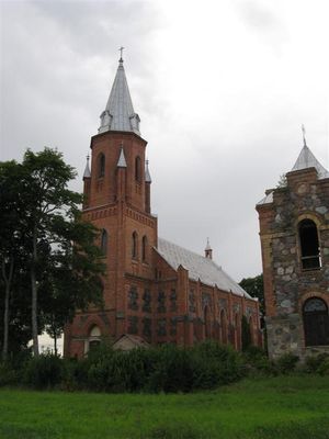
Church of the Holy Trinity, Panemunis
376 m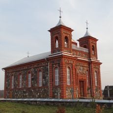
Church of St. James the Apostle, Suvainiškis
11 km
Bryzgių piliakalnis
17.4 km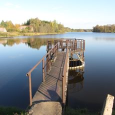
Žiobiškio tvenkinys
14.2 km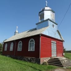
Old Believers Church in Maineivos
12 km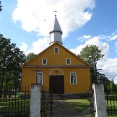
Church of the Blessed Virgin Mary, Kazliškis
8.6 km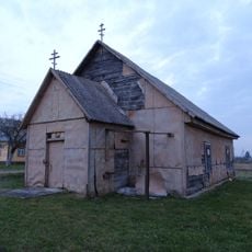
Old Believers Church in Kvedariškis
10.7 km
Grodzisko Zabłocie
16.9 km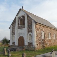
Chapel in Skrebiškiai
17 km
Martiniškėnai hillfort
15.2 km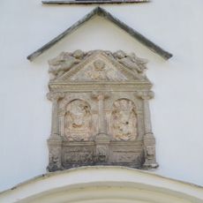
Cilnis fasādē
16.1 km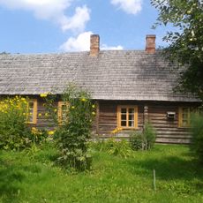
Jānis Jaunsudrabiņš Museum "Riekstiņi"
16.4 km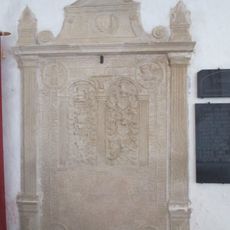
Kapa plāksne - piemineklis V.Efernam
16.1 km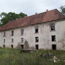
Pils
10.5 kmReviews
Visited this place? Tap the stars to rate it and share your experience / photos with the community! Try now! You can cancel it anytime.
Discover hidden gems everywhere you go!
From secret cafés to breathtaking viewpoints, skip the crowded tourist spots and find places that match your style. Our app makes it easy with voice search, smart filtering, route optimization, and insider tips from travelers worldwide. Download now for the complete mobile experience.

A unique approach to discovering new places❞
— Le Figaro
All the places worth exploring❞
— France Info
A tailor-made excursion in just a few clicks❞
— 20 Minutes