
Teneniai, town in Tauragė, Lithuania
Location: Šilalė District Municipality
Elevation above the sea: 75 m
GPS coordinates: 55.46110,21.91390
Latest update: March 5, 2025 11:57
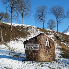
Padievaitis hillfort
10 km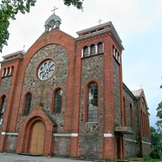
Church of the Immaculate Conception, Kvėdarna
11.6 km
Vilkų Lauko piliakalnis
12.3 km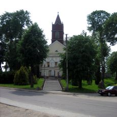
Church of the Holy Trinity, Pajūris
7.2 km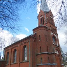
Church of St. Joachim, Pajūralis
9.6 km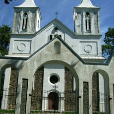
Church of St. John the Baptist, Vainutas
11 km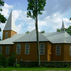
Church of the Exaltation of the Holy Cross in Žvingiai
9.5 km
Pakisys hillfort
6.7 km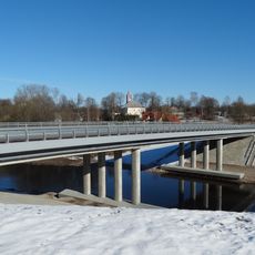
Pajūris bridge
7 km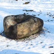
Padievaitis stone
10 km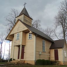
Chapel of Ignatius of Antioch, Paskarbiškiai
7 km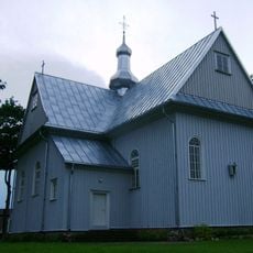
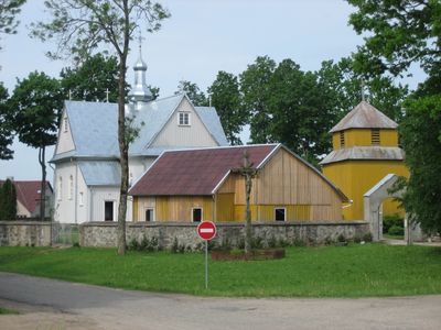
Church of St. Barbara, Teneniai
144 m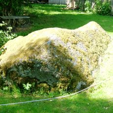
Kunigiškių akmuo
6.5 km
Keberkščiai Big stone
9.8 km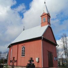
Kvėdarna cemetery chapel
11.4 km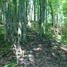
Dapkiškė hillfort
7.9 km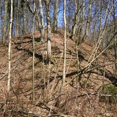
Lileikėnai hillfort
7.4 km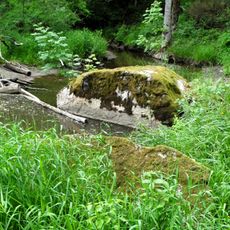
Ilgotis stones
10.6 km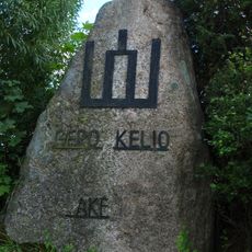
Šakėnai stone
9.1 km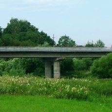
Žvingių tiltas
9.2 km
Gūvainių piliakalnis
9.5 km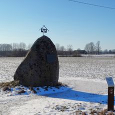
Gūvainiai stone
9.7 km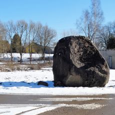
Drobūkščiai stone
10.7 km
Pavėžio piliakalnis
11 km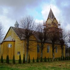
Church of St. Aloysius, Stemplės
8.9 km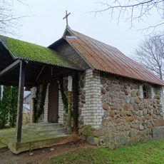
Visbarai chapel
12.7 km
Ginučių pilkapynai
9.9 km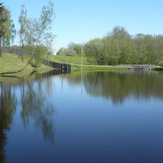
Jomantų tvenkinys
5.6 kmVisited this place? Tap the stars to rate it and share your experience / photos with the community! Try now! You can cancel it anytime.
Discover hidden gems everywhere you go!
From secret cafés to breathtaking viewpoints, skip the crowded tourist spots and find places that match your style. Our app makes it easy with voice search, smart filtering, route optimization, and insider tips from travelers worldwide. Download now for the complete mobile experience.

A unique approach to discovering new places❞
— Le Figaro
All the places worth exploring❞
— France Info
A tailor-made excursion in just a few clicks❞
— 20 Minutes