
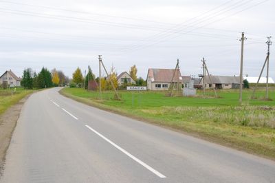
Pušalotas, human settlement in Lithuania
Location: Panevėžys County
Elevation above the sea: 41 m
GPS coordinates: 55.93333,24.24444
Latest update: March 20, 2025 10:52

Joniškėlis Manor
12 km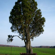
Pakuodžiupių kadagys
12.3 km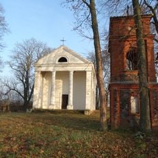
Chapel in Niurkoniai
3.8 km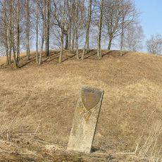
Šimoniai hillfort
14.3 km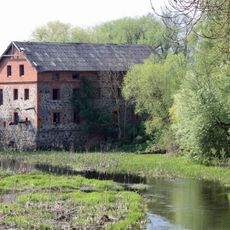
Toliūnai manor
5 km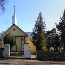
Church of St. Peter and St. Paul, Pušalotas
310 m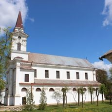
Church of the Holy Trinity, Joniškėlis
11.3 km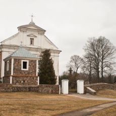
Church of Our Lady of the Scapular, Pumpėnai
6.1 km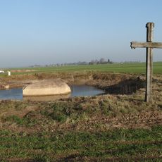
Banionių akmuo
11.2 km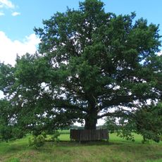
Bernardo Brazdžionio ąžuolas
10.1 km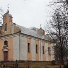
Evangelical Reformed Church in Švobiškis
15 km
Moliūnai manor
14.4 km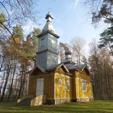
Orthodox church in Gegabrasta
5.3 km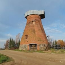
Pumpėnai windmill
5.8 km
Kiūčiai hillfort
14.4 km
Lavėnai Manor
3.4 km
Antakalnio pušis
12.2 km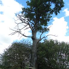
Ramoninės ąžuolas
10.4 km
Girelės ąžuolas
11.8 km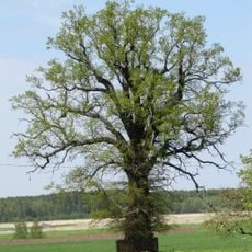
Moliūnų ąžuolas
14.6 km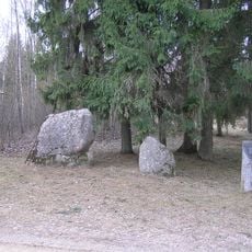
Naurašilių akmenys
14.1 km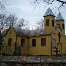
Church of the Visitation, Krikliniai
12.9 km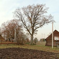
Šlamų ąžuolas
13.8 km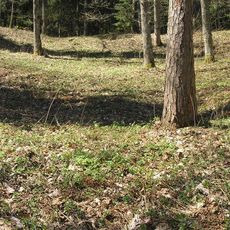
Moliūnai hillfort
13.9 km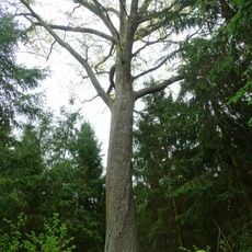
Šilų ąžuolas
11.5 km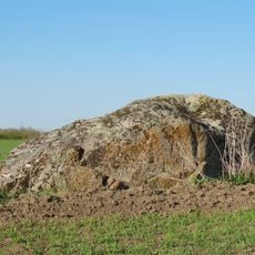
Gaidžiakalnio akmuo
9.7 km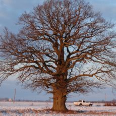
Austakynės ąžuolas
11.1 km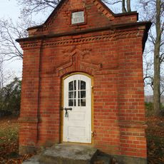
Pazūkai chapel
8.4 kmReviews
Visited this place? Tap the stars to rate it and share your experience / photos with the community! Try now! You can cancel it anytime.
Discover hidden gems everywhere you go!
From secret cafés to breathtaking viewpoints, skip the crowded tourist spots and find places that match your style. Our app makes it easy with voice search, smart filtering, route optimization, and insider tips from travelers worldwide. Download now for the complete mobile experience.

A unique approach to discovering new places❞
— Le Figaro
All the places worth exploring❞
— France Info
A tailor-made excursion in just a few clicks❞
— 20 Minutes