
Gaurė, human settlement in Lithuania
Location: Tauragė District Municipality
Elevation above the sea: 29 m
GPS coordinates: 55.24167,22.47500
Latest update: March 29, 2025 16:29

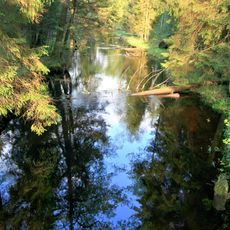
Viešvilė Reserve
12.6 km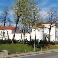
Tauragė Castle
12.2 km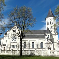
Church of the Holy Trinity in Tauragė
12.1 km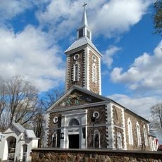
Evangelical Lutheran Church in Tauragė
11.8 km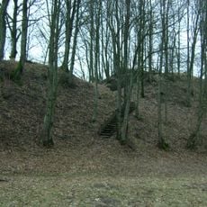
Batakių piliakalnis
12.1 km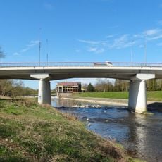
Taurogenas bridge
12.4 km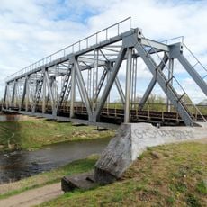
Tauragė railway bridge
13.5 km
Eržvilko piliakalnis
14.1 km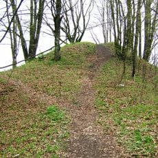
Dapkiškiai hillfort
15.3 km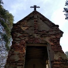
Gaurė chapel
1.5 km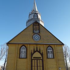
Church of St. George, Eržvilkas
14.8 km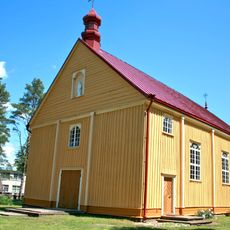
Church of the Holy Trinity, Varlaukis
15.5 km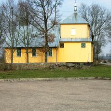
Church of St. Anne, Batakiai
12.5 km
Agluonos ąžuolas
14.5 km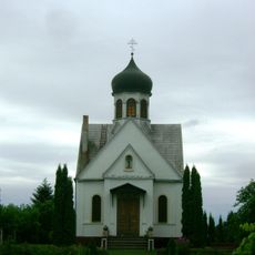
Orthodox church in Tauragė
11.6 km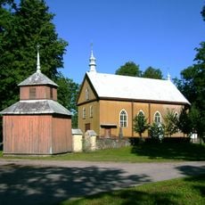
Church of the Assumption, Pašaltuonys
8.5 km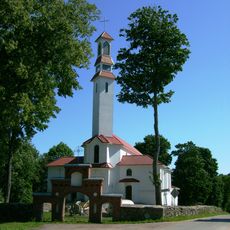
Church of St. Michael the Archangel, Gaurė
95 m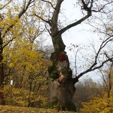
Gaure's oak
243 m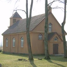
Evangelical Lutheran Church in Batakiai
11.7 km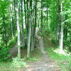
Kiukiškiai hillfort
1.7 km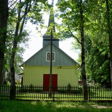
Church of St. John the Baptist, Vertimai
13.2 km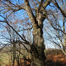
Karklotės ąžuolas
13.1 km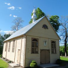
Church of the transfiguration of Jesus Christ in Lomiai
15.1 km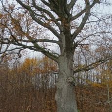
Avietiškių ąžuolas
9.7 km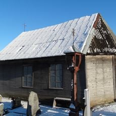
Eržvilkas cemetery chapel
15.2 km
Vėžalaukio ąžuolas
14.2 km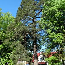
Papušynė pine
12.4 km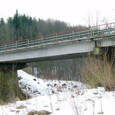
Mažonų tiltas
13.2 kmReviews
Visited this place? Tap the stars to rate it and share your experience / photos with the community! Try now! You can cancel it anytime.
Discover hidden gems everywhere you go!
From secret cafés to breathtaking viewpoints, skip the crowded tourist spots and find places that match your style. Our app makes it easy with voice search, smart filtering, route optimization, and insider tips from travelers worldwide. Download now for the complete mobile experience.

A unique approach to discovering new places❞
— Le Figaro
All the places worth exploring❞
— France Info
A tailor-made excursion in just a few clicks❞
— 20 Minutes