
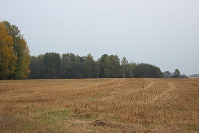
Martiniškėnai hillfort
Location: Rokiškis District Municipality
Website: http://piliakalniai.lt/piliakalnis.php?piliakalnis_id=462
GPS coordinates: 55.95131,25.42306
Latest update: September 25, 2025 07:41
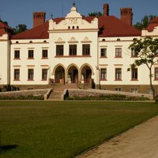
Rokiškis Manor
11.2 km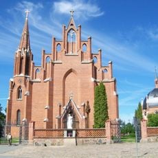
Church of St. Matthew, Rokiškis
10.1 km
Памятник Якову Смушкевичу
10.3 km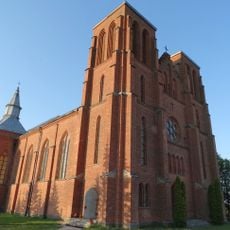
Church of St. Casimir, Kamajai
15.4 km
Rokiškio krašto muziejus
11.2 km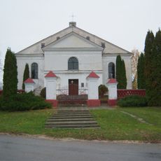
Church of St. Hyacinth, Skapiškis
15.3 km
Rudžių piliakalnis
13.6 km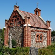
Calvaries in Rokiškis
9.7 km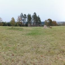
Moškėnų piliakalnis
2.1 km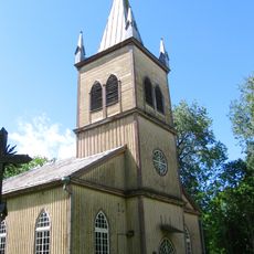
Church of the Holy Cross, Salos
15.9 km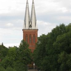
Church of St. Joseph, Panemunėlis
4.6 km
Salos churchyard chapel
15.9 km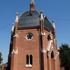
Saint Joseph chapel, Rokiškis
10.1 km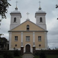
Church of the Holy Name of the Virgin Mary, Pandėlys
14.5 km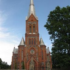
Church of St. Michael the Archangel, Žiobiškis
8.3 km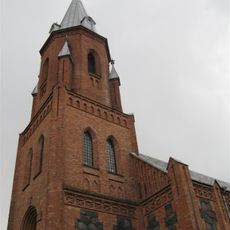
Church of the Holy Trinity, Panemunis
15.2 km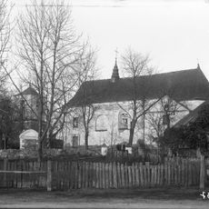
Church of Saint Lawrence in Skapiškis
15.2 km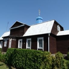
Saint Alexander Nevsky Orthodox church in Rokiškis
10.7 km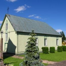
Church of the Blessed Virgin Mary, Rageliai
15.6 km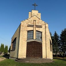
Kalneliškiai chapel
10.9 km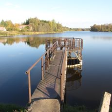
Žiobiškio tvenkinys
8.4 km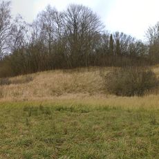
Vaduvos hillfort
14.7 km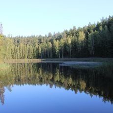
Vaidlėnai pond
13.1 km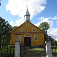
Church of the Blessed Virgin Mary, Kazliškis
6.6 km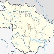
Rudžių akmuo
12.6 km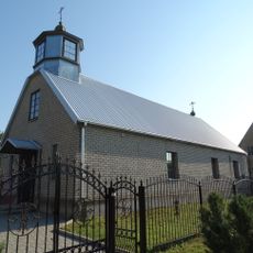
Old Believers Church in Rokiškis
10.4 km
Kamajai churchyard chapel
15.4 km
Gireišiai geodetic marker
5.8 kmVisited this place? Tap the stars to rate it and share your experience / photos with the community! Try now! You can cancel it anytime.
Discover hidden gems everywhere you go!
From secret cafés to breathtaking viewpoints, skip the crowded tourist spots and find places that match your style. Our app makes it easy with voice search, smart filtering, route optimization, and insider tips from travelers worldwide. Download now for the complete mobile experience.

A unique approach to discovering new places❞
— Le Figaro
All the places worth exploring❞
— France Info
A tailor-made excursion in just a few clicks❞
— 20 Minutes