
Florești District, district of Moldova
Location: Moldova
Inception: 2002
Capital city: Florești
Elevation above the sea: 289 m
Shares border with: Camenca District
GPS coordinates: 47.83333,28.33333
Latest update: March 2, 2025 20:30
Oak of Stephen the Great in Cobîlea
24.7 km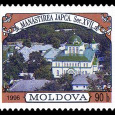
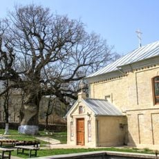
Japca Monastery
33 km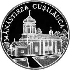
Cușelăuca monastery
17.4 km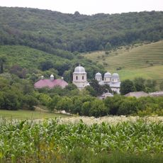
Dobrușa monastery, Moldova
20.2 km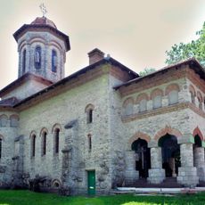
Holy Trinity church in Cuhureștii de Sus, Florești
19.1 km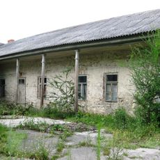
Leonard mansion in Cubolta
22.8 km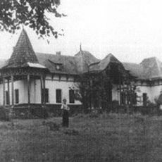
Bogdan mansion in Cuhureștii de Sus
19.9 km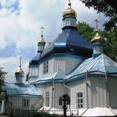
Biserică (de rit vechi ortodox)
25.2 km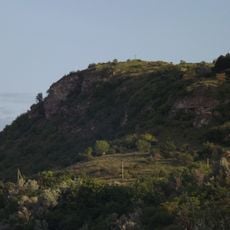
Japca cliff
33 km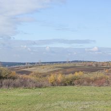
Rădoaia
15.7 km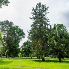
Park of Cuhureștii de Sus
19.1 km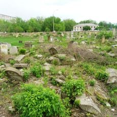
Jewish Cemetery
7.5 km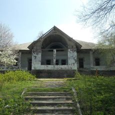
Mansion in Răspopeni
24.1 km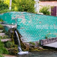
Spring of Sămășcani
28.9 km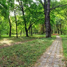
Park of Temeleuți
20.1 km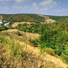
Dobrușa landscape reserve
23.7 km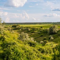
Răspopeni outcrop
27.3 km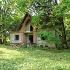
Mansion of Meleghi in Temeleuți
20.1 km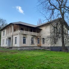
Bjozowskz mansion in Soloneț
19.5 km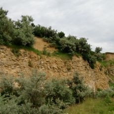
Former excavation site near Șoldănești train station
30.2 km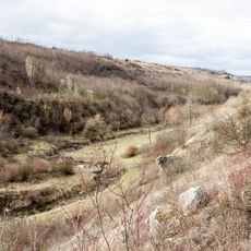
Namălvii ravine
34 km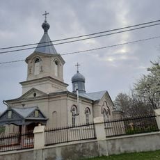
Saint Michael church in Cenușa, Florești
4.1 km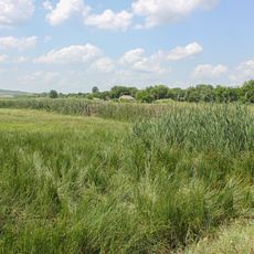
Outcrop in the Soloneț block
14.9 km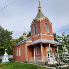
Saint Nicholas church in Gvozdova, Florești
7.8 km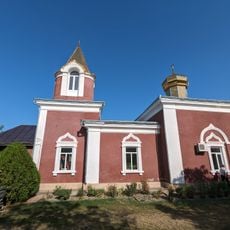
Biserica „Sf. Arhanghel Mihail”
7.3 km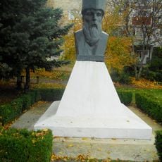
Monument to Miron Costin in Florești
7.3 km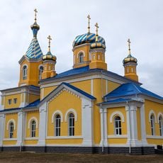
Saint Spyridon church in Ghindești, Florești
3.7 km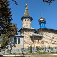
Biserica „Adormirea Maicii Domnului”
16 kmReviews
Visited this place? Tap the stars to rate it and share your experience / photos with the community! Try now! You can cancel it anytime.
Discover hidden gems everywhere you go!
From secret cafés to breathtaking viewpoints, skip the crowded tourist spots and find places that match your style. Our app makes it easy with voice search, smart filtering, route optimization, and insider tips from travelers worldwide. Download now for the complete mobile experience.

A unique approach to discovering new places❞
— Le Figaro
All the places worth exploring❞
— France Info
A tailor-made excursion in just a few clicks❞
— 20 Minutes