
Ocnița, city in Moldova
Location: Ocnița District
Elevation above the sea: 274 m
Website: http://ocnita.md
GPS coordinates: 48.41667,27.48333
Latest update: March 7, 2025 08:26
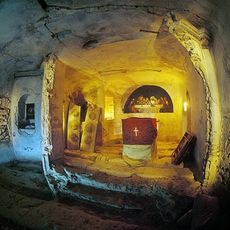
Lyadova Monastery
11.6 km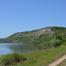
Nahoriany caves
11.3 km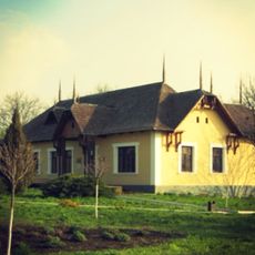
Mansion of Constantin Stamati
5.1 km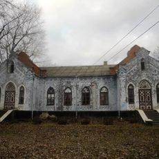
Cazimir mansion
12.7 km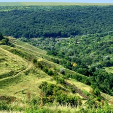
La 33 de vaduri
6.6 km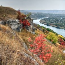
Steep river bank of Dniester
10.2 km
Lyadova reserve
11.2 km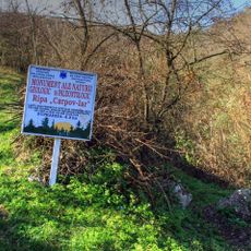
Carpov Iar
7.9 km
Cernoleuca
11.2 km
Flint outcrop near Naslavcea
4.5 km
Ocnița
8.4 km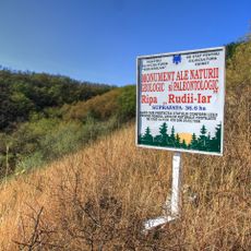
Rudîi Iar
8.3 km
Nahoriany reserve
9.7 km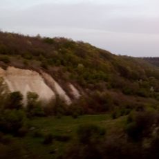
Outcrop of Tortonian sands near Naslavcea
7.8 km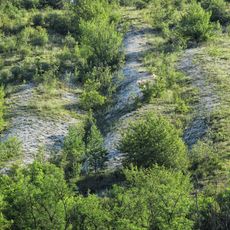
Cenomanian Limestones
13 km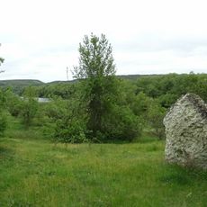
Senomanski vapniaky
11.1 km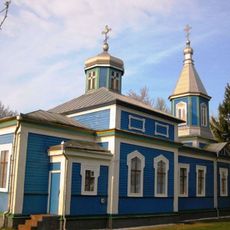
Saint Michael wooden church in Dîngeni, Ocnița
7.7 km
Climăuți
9.1 km
Mestecăniș
7.1 km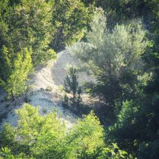
Verkhnopoterozoiski osadovi porody
13 km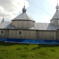
Church of the Ascension of Christ in Hădărăuți, Ocnița
11.8 km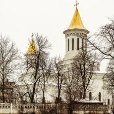
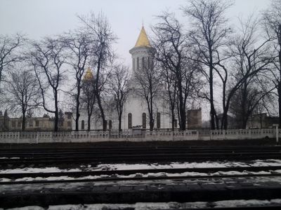
Saint George church in Ocnița
1.2 km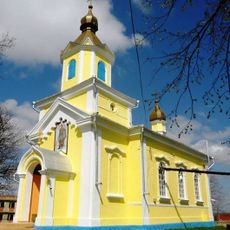
Saint Michael church in Lipnic, Ocnița
3.5 km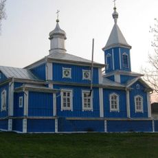
Saint John the Evangelist wooden church in Clocușna, Ocnița
10.5 km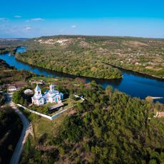
Церковь Успения Пресвятой Богородицы
9.3 km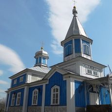
Saint Michael wooden church in Ocnița, Ocnița
4.8 km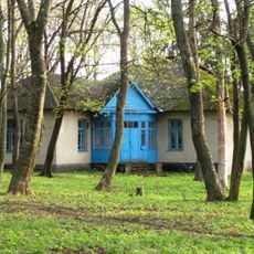
Hospital in Dîngeni
8.1 km
Battlefield of Lipnic
7 kmVisited this place? Tap the stars to rate it and share your experience / photos with the community! Try now! You can cancel it anytime.
Discover hidden gems everywhere you go!
From secret cafés to breathtaking viewpoints, skip the crowded tourist spots and find places that match your style. Our app makes it easy with voice search, smart filtering, route optimization, and insider tips from travelers worldwide. Download now for the complete mobile experience.

A unique approach to discovering new places❞
— Le Figaro
All the places worth exploring❞
— France Info
A tailor-made excursion in just a few clicks❞
— 20 Minutes