
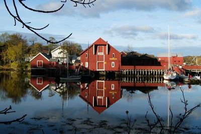
Hitra Municipality, municipality in Trøndelag, Norway
Location: Trøndelag
Inception: 1838
Capital city: Fillan
Website: https://www.hitra.kommune.no/
Shares border with: Frøya, Ørland Municipality, Aure Municipality, Smøla Municipality, Orkland Municipality, Heim Municipality
Website: https://hitra.kommune.no
GPS coordinates: 63.54722,8.85472
Latest update: March 5, 2025 13:14
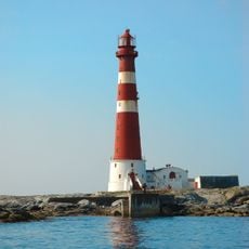
Sletringen Lighthouse
32.2 km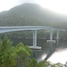
Mjosund Bridge
38 km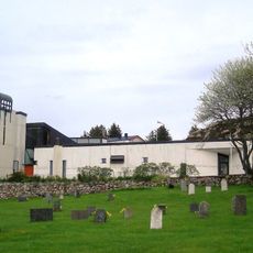
Sletta Church
27.8 km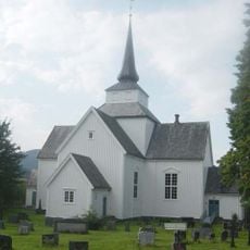
Aure Church
35.3 km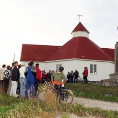
Titran Chapel
30.2 km
Agdenes Church
33 km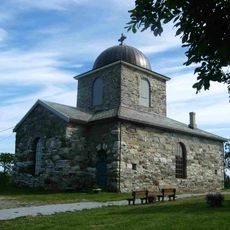
Hitra Church
11.1 km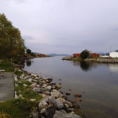
Hemnfjorden
16.3 km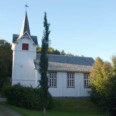
Heim Church
18.1 km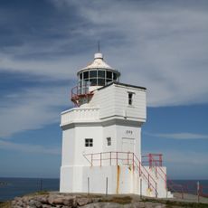
Sula Lighthouse
38.8 km
Sollia
37.8 km
Aursund Bridge
35.5 km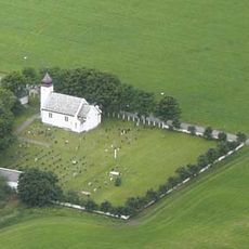
Storfosna Church
29.8 km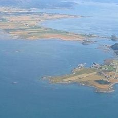
Grandefjæra
37.4 km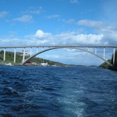
Knarrlagsundet bru
17.4 km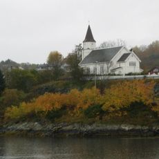
Sandstad Church
12.4 km
Terningen Lighthouse
10.9 km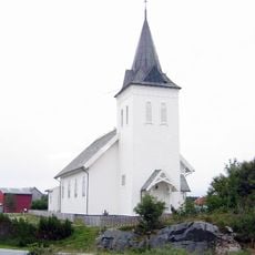
Kvenvær Church
23.5 km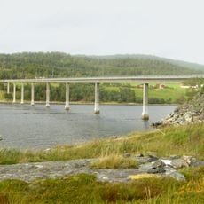
Torsetsundbrua
28.5 km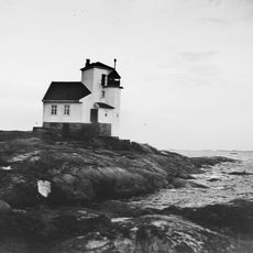
Børøyholmen Lighthouse
18.4 km
Snillfjorden
31.1 km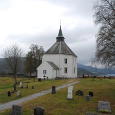
Vinje Church
38.6 km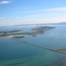
Kråkvågsvaet
28.5 km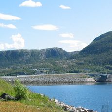
Hemnskjelbrua
16.6 km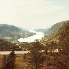
Årvågfjorden
22.2 km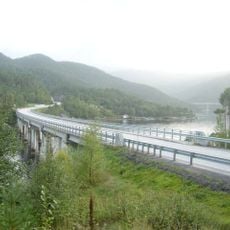
Smalsundbrua
36.4 km
Frøya folkebibliotek
20.4 km
AURE PRESTEGÅRD
35.2 kmReviews
Visited this place? Tap the stars to rate it and share your experience / photos with the community! Try now! You can cancel it anytime.
Discover hidden gems everywhere you go!
From secret cafés to breathtaking viewpoints, skip the crowded tourist spots and find places that match your style. Our app makes it easy with voice search, smart filtering, route optimization, and insider tips from travelers worldwide. Download now for the complete mobile experience.

A unique approach to discovering new places❞
— Le Figaro
All the places worth exploring❞
— France Info
A tailor-made excursion in just a few clicks❞
— 20 Minutes