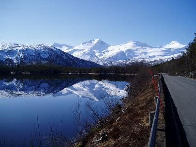
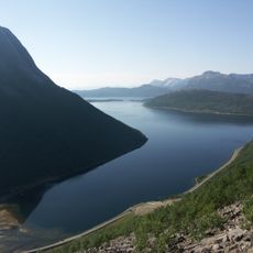
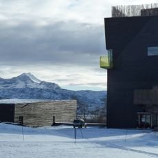
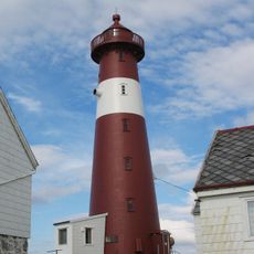
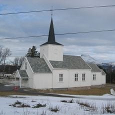
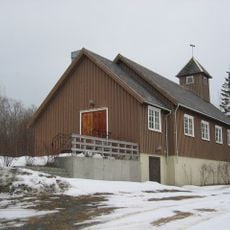
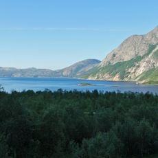
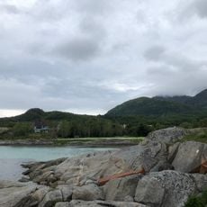
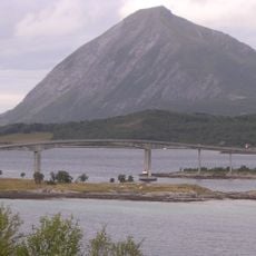
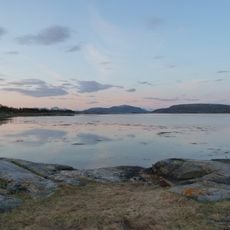
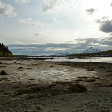
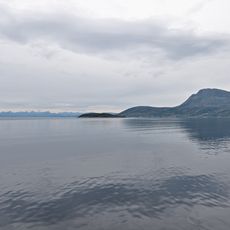
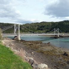
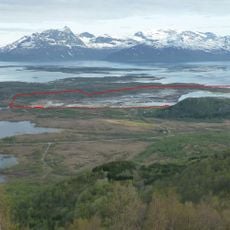
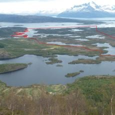
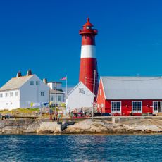
Hamarøy, municipality in Nordland, Norway
Location: Nordland
Inception: 1837
Capital city: Oppeid
Shares border with: Sørfold Municipality, Steigen Municipality, Jokkmokk Municipality, Narvik Municipality, Gällivare Municipality
Website: https://hamaroy.kommune.no
GPS coordinates: 68.06667,15.76667
Latest update: March 6, 2025 16:40
Tysfjorden
21.6 km
Knut Hamsun Centre
5.4 km
Hamarøyskaftet
15.1 km
Tranøy Lighthouse
14.8 km
Árran
13.3 km
Engeløy Bridges
29.9 km
Sagfjorden
13.7 km
Kjøpsvik Church
25.5 km
Korsnes Church
23.8 km
Drag/Helland Church
16.2 km
Hellmofjorden
26.7 km
Stella Maris
19.1 km
Engeløy High Bridge
30.4 km
Kaldvågfjorden
10.3 km
Den hellige Dorotheas kapell
13.6 km
Presteidfjorden
4.7 km
Bekkenesholmen
27.7 km
Indre Tysfjorden
26.2 km
Presteidbrua
5.2 km
Tømmeråsfjorden
30.7 km
Haukøyfjorden
24.1 km
Steinslandsosen
17.4 km
Steinslandsvatnet
16.3 km
Skjettenfjorden (fyord sa Noruwega, Steigen)
26.8 km
Tranøy Lighthouse
14.8 km
Engeløy Low Bridge
29.4 km
HAMSUND gård
11.2 km
Sagelv, Sagfjorden.
19 kmVisited this place? Tap the stars to rate it and share your experience / photos with the community! Try now! You can cancel it anytime.
Discover hidden gems everywhere you go!
From secret cafés to breathtaking viewpoints, skip the crowded tourist spots and find places that match your style. Our app makes it easy with voice search, smart filtering, route optimization, and insider tips from travelers worldwide. Download now for the complete mobile experience.
A unique approach to discovering new places❞
— Le Figaro
All the places worth exploring❞
— France Info
A tailor-made excursion in just a few clicks❞
— 20 Minutes