
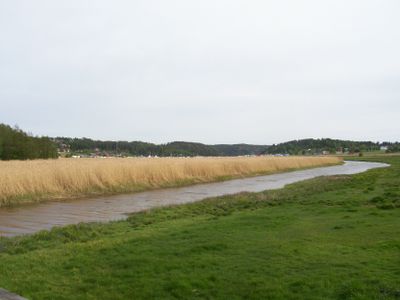
Skjebergkilen, protected area in Norway
Location: Sarpsborg Municipality
Inception: April 16, 2010
GPS coordinates: 59.19611,11.18194
Latest update: March 3, 2025 02:03
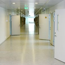
Halden Prison
8.6 km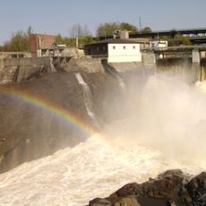
Sarp Falls
9.4 km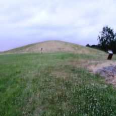
Jellhaugen
6.7 km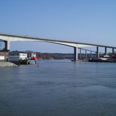
Sannesund Bridge
9.6 km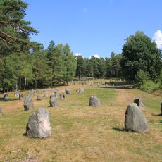
Stone circles at Hunn
6.5 km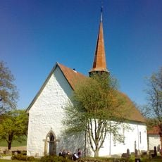
Skjeberg Church
3.7 km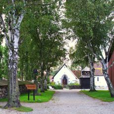
Borgarsyssel Museum
9.8 km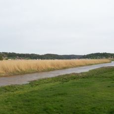
Skjebergkilen
2.7 km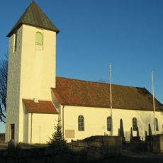
Borge Church
8.6 km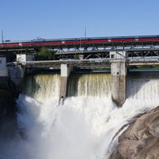
Sarp Bridge
9.4 km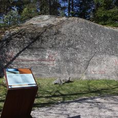
Bjørnstadskipet
5.4 km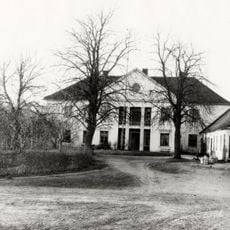
Næs
9.1 km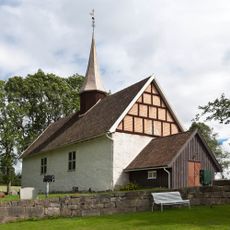
Ingedal Church
2.7 km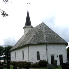
Rokke Church
9.3 km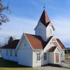
Hafslund Church
8.9 km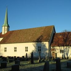
Torsnes Church
6.4 km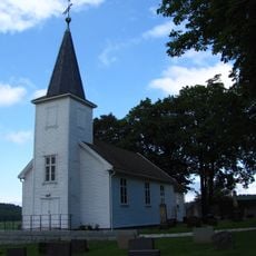
Ullerøy Church
3.6 km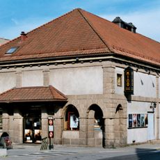
Odeon Kino
10.3 km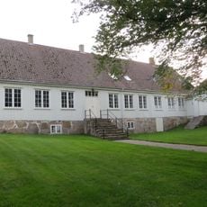
Skjeberg prestegård
3.6 km
Sarpsbrua
9.4 km
Fagerheim bedehuskapell
8.3 km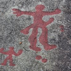
Begby 1 (Gullskår Nedre, Begbymannen)
10.3 km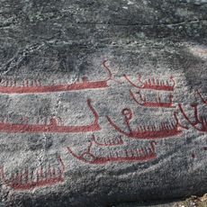
Hornes mellom (Post-Hornes III, Jarle-Hornes)
1.9 km
Thorsø herregård
6.3 km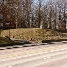
St. Olavs voll
9.9 km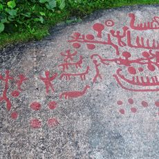
Solberg søndre I (Solberg nedre I)
2.2 km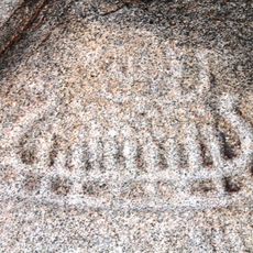
Solberg Søndre II (Solberg nedre II)
2.3 km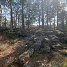
Trinborg (slott)
10.4 kmVisited this place? Tap the stars to rate it and share your experience / photos with the community! Try now! You can cancel it anytime.
Discover hidden gems everywhere you go!
From secret cafés to breathtaking viewpoints, skip the crowded tourist spots and find places that match your style. Our app makes it easy with voice search, smart filtering, route optimization, and insider tips from travelers worldwide. Download now for the complete mobile experience.

A unique approach to discovering new places❞
— Le Figaro
All the places worth exploring❞
— France Info
A tailor-made excursion in just a few clicks❞
— 20 Minutes