
Sandefjell, جرف في غريمستاد، النرويج
Location: Grimstad
Elevation above the sea: 237 m
GPS coordinates: 58.45229,8.40751
Latest update: May 31, 2025 23:54
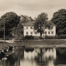
Nørholm
17.6 km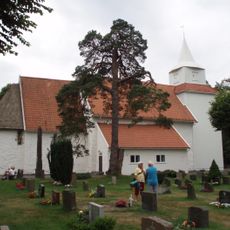
Fjære Church
14.5 km
Mollestadeika
19.5 km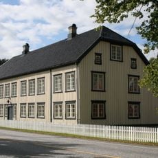
Frolands verk
14.2 km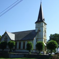
Grimstad Church
16.4 km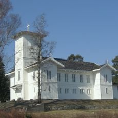
Engene Church
17.6 km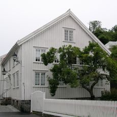
Ibsen Museum
16.4 km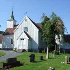
Landvik Church
13.8 km
Fevik Church
17.7 km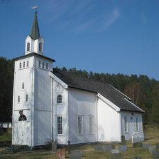
Vegusdal Church
18.9 km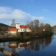
Froland Church
14.7 km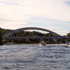
Vippa bro
18.9 km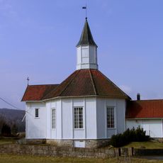
Herefoss Church
8.6 km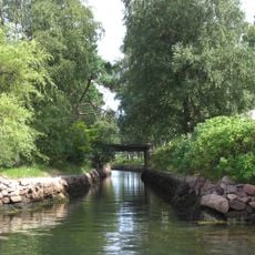
Hesneskanalen
17.7 km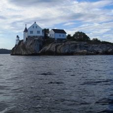
Rivingen Lighthouse
19.5 km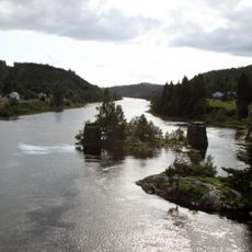
Blakstad bru
15 km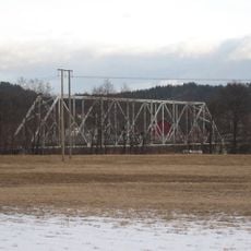
Furre bru
11.6 km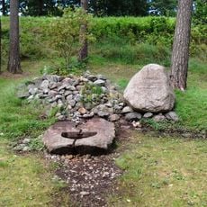
Olavskilden i Fjære
14.6 km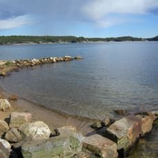
Kaldvellfjorden
19.3 km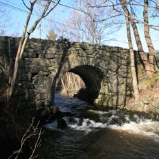
Naude bro
17.2 km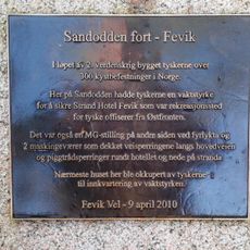
Sandodden fort
17.8 km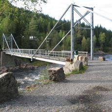
Slettene bru
14.1 km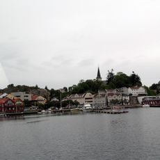
Groosefjorden
16.7 km
Kirkegt. 5
16.3 km
Hasseldalen skipsbyggeri
16.7 km
Hesnesøy vestre, Peder Andersens hus
19 km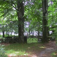
Tangen Gravlund, Falck-Ebbell, Dedekam og Harboes gravsted
18.7 km
Dømmesmoen
14.5 kmReviews
Visited this place? Tap the stars to rate it and share your experience / photos with the community! Try now! You can cancel it anytime.
Discover hidden gems everywhere you go!
From secret cafés to breathtaking viewpoints, skip the crowded tourist spots and find places that match your style. Our app makes it easy with voice search, smart filtering, route optimization, and insider tips from travelers worldwide. Download now for the complete mobile experience.

A unique approach to discovering new places❞
— Le Figaro
All the places worth exploring❞
— France Info
A tailor-made excursion in just a few clicks❞
— 20 Minutes