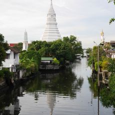
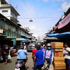
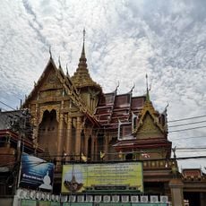
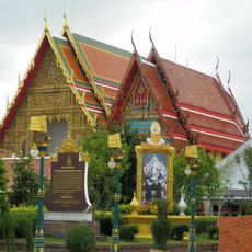
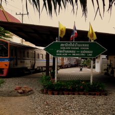
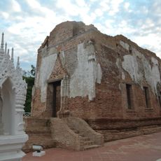
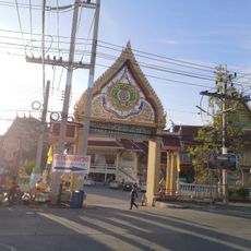
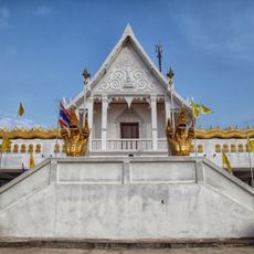
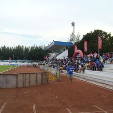
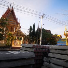
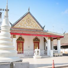
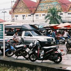
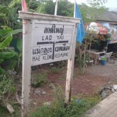
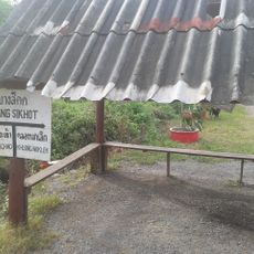
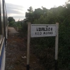
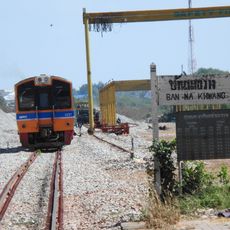
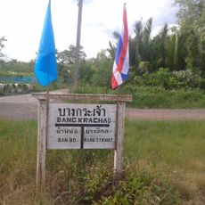
Bang Tho Rat, subdistrict in Mueang Samut Sakhon district, Samut Sakhon province, Thailand
Location: Mueang Samut Sakhon
GPS coordinates: 13.50840,100.15380
Latest update: March 29, 2025 21:38
Khlong Phasi Charoen
16.4 km
Talat Mahachai
13.8 km
Wat Pom Wichian Chotikaram
13.5 km
Wat Sutthiwat Wararam
12.1 km
Wat Bang Pla
12.1 km
Ban Laem Station
13.1 km
Wat Yai Chom Prasat
10.8 km
Wat Sophanaram
18.4 km
Wat Noi Nang Hong
10.3 km
Wat Yai Ban Bo
3.3 km
Maeklong Railway Market
20 km
Wichien Chodok Fort
13.6 km
Samut Sakhon Province Stadium
12.7 km
Wat Ko
12.2 km
Samut Songkhram Stadium
19.7 km
Wat Laem Suwannaram
13.2 km
Wat Tuek Maha Chaya Ram
14 km
Wat Khlong Tan Rat Bamrung
17 km
Wat Klang Ang Kaeo
10.9 km
Wat Si Buranawat
16.8 km
Wat Maha Chai Khlai Nimit
14 km
Tha Chalom
12.1 km
Lat Yai railway station
14.3 km
Bang Si Khot railway halt
6.6 km
Ket Muang railway halt
10.4 km
Ban Na Khwang railway halt
4.2 km
Bang Krachao railway halt
4.7 km
Ban Na Khok railway halt
6.5 kmVisited this place? Tap the stars to rate it and share your experience / photos with the community! Try now! You can cancel it anytime.
Discover hidden gems everywhere you go!
From secret cafés to breathtaking viewpoints, skip the crowded tourist spots and find places that match your style. Our app makes it easy with voice search, smart filtering, route optimization, and insider tips from travelers worldwide. Download now for the complete mobile experience.
A unique approach to discovering new places❞
— Le Figaro
All the places worth exploring❞
— France Info
A tailor-made excursion in just a few clicks❞
— 20 Minutes