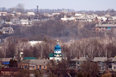
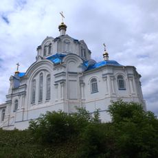
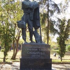
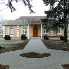
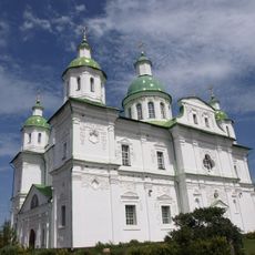
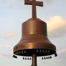
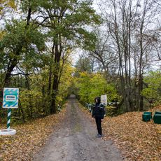
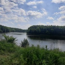
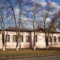
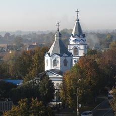
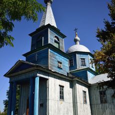
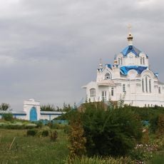
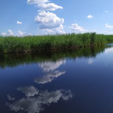
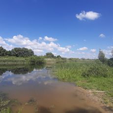
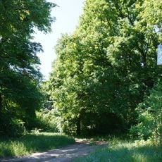
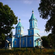
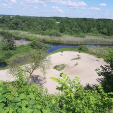
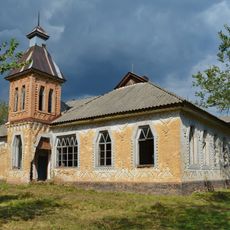
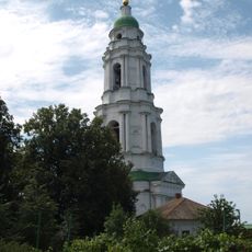
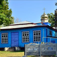
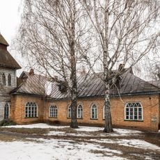
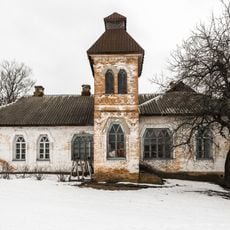
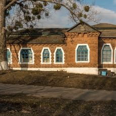
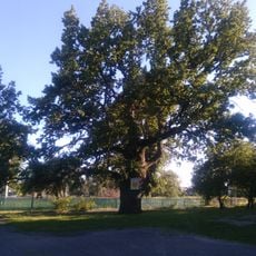
Chornukhy, urban type settlement in Poltava Oblast, Ukraine
Location: Chornukhy Raion
Elevation above the sea: 114 m
GPS coordinates: 50.26991,32.94758
Latest update: April 21, 2025 16:09
Mhar Monastery
27.8 km
Monument to Hryhoriy Skovoroda in Lokhvytsia
24.7 km
Memorial manor of Hryhoriy Skovoroda
740 m
Transfiguration Cathedral, Mgar
27.8 km
Memorial Golodomor 1933
27.6 km
Kukvyn, Protected Tract
25.9 km
Zakaznyk Chervonoberezhzhya
14.5 km
Lokhvytsia local museum
24.5 km
Church of the Annunciation (Lokhvytsia)
25.1 km
Saint Michael church in Povstyn
25.2 km
Church of the Annunciation, Mgar
27.4 km
Deymanivs'kyy Zakaznyk
22.9 km
Куквинський заказник
24.5 km
Quercus Robur, Yakhnyky
22.6 km
Sosnovyi Park, Lokhvytsia
24.5 km
Dubovyi Hai, Lokhvytsia
24.6 km
Church of the Intercession, Berezotocha
26.1 km
Бурти
22.5 km
Zemstvo school in Kharsiky
3.1 km
Bell tower of Mhar monastery
27.8 km
Church of the Nativity of the Theotokos, Voronky
8.5 km
Quercus Robur, Lokhvytsia
24.7 km
Mharska Dacha
25.2 km
Zemstvo school in Kizlivka, Chornukhy Raion
2.6 km
Zemstvo school in Chornukhy
741 m
Zemstvo school in Ryhy
21.8 km
Heilivshchyna Oak
8.8 km
Quercus Robur, Krynytsia
21.6 kmReviews
Visited this place? Tap the stars to rate it and share your experience / photos with the community! Try now! You can cancel it anytime.
Discover hidden gems everywhere you go!
From secret cafés to breathtaking viewpoints, skip the crowded tourist spots and find places that match your style. Our app makes it easy with voice search, smart filtering, route optimization, and insider tips from travelers worldwide. Download now for the complete mobile experience.
A unique approach to discovering new places❞
— Le Figaro
All the places worth exploring❞
— France Info
A tailor-made excursion in just a few clicks❞
— 20 Minutes