
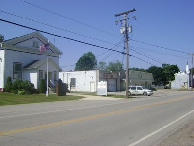
Austinburg Township, township of Ohio
Location: Ashtabula County
Elevation above the sea: 246 m
GPS coordinates: 41.75056,-80.85833
Latest update: March 4, 2025 12:43
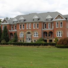
Madison Seminary
16.2 km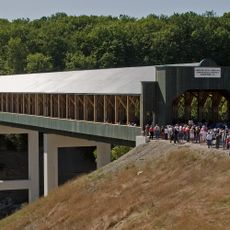
Smolen–Gulf Bridge
14.2 km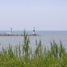
Geneva State Park
14.9 km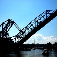
Ashtabula lift bridge
17.4 km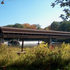
Harpersfield Covered Bridge
7.2 km
West Liberty Covered Bridge
9.2 km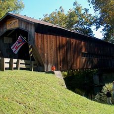
Benetka Road Covered Bridge
17.8 km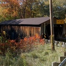
Riverdale Road Covered Bridge
8.7 km
Mother of Sorrows Church
16.8 km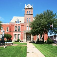
Ashtabula County Courthouse Group
7.5 km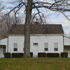
Shandy Hall
10.9 km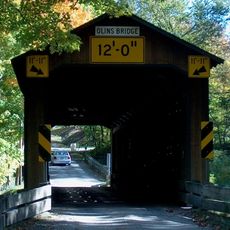
Olin's Covered Bridge
16.9 km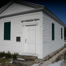
Joshua Reed Giddings Law Office
7.5 km
Ashtabula Harbour Commercial District
17.3 km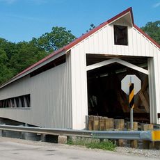
Mechanicsville Road Covered Bridge
3.3 km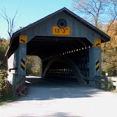
Doyle Road Covered Bridge
5.8 km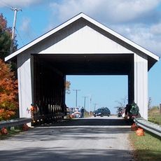
Giddings Road Covered Bridge
10.6 km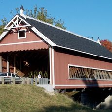
Netcher Road Covered Bridge
10.6 km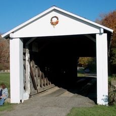
South Denmark Road Covered Bridge
14.4 km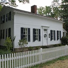
Addison Kimball House
16.6 km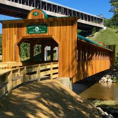
Riverview Covered Bridge
14.1 km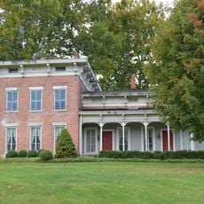
Eliphalet Austin House
2.8 km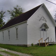
Griggs Grange No. 1467
12.8 km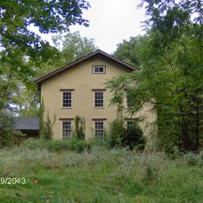
L. W. Peck House
4.1 km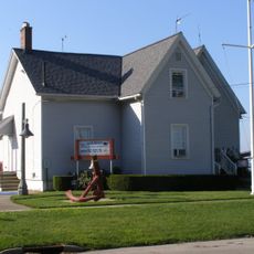
Ashtabula Maritime & Surface Transportation Museum
17.5 km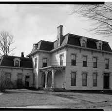
Benjamin F. Wade House
7.5 km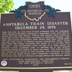
Ashtabula Train Disaster December 29, 1876
15.3 km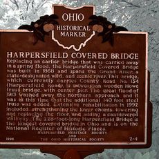
Harpersfield Covered Bridge
7.2 kmReviews
Visited this place? Tap the stars to rate it and share your experience / photos with the community! Try now! You can cancel it anytime.
Discover hidden gems everywhere you go!
From secret cafés to breathtaking viewpoints, skip the crowded tourist spots and find places that match your style. Our app makes it easy with voice search, smart filtering, route optimization, and insider tips from travelers worldwide. Download now for the complete mobile experience.

A unique approach to discovering new places❞
— Le Figaro
All the places worth exploring❞
— France Info
A tailor-made excursion in just a few clicks❞
— 20 Minutes