
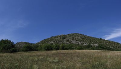
Horná Súča, municipality of Slovakia
Location: District of Trenčín
Website: https://www.hornasuca.sk/
Website: https://hornasuca.sk
GPS coordinates: 48.96667,17.98333
Latest update: April 11, 2025 12:04
Landschaftsschutzpark Weiße Karpaten
10.6 km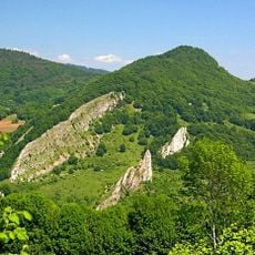
Biele Karpaty Protected Landscape Area
2.2 km
Krasín
2.8 km
Hutě
6.1 km
Lazy
10.5 km
Chladný vrch
6.8 km
Chmelinec
10 km
Pod Žitkovským vrchem
7.6 km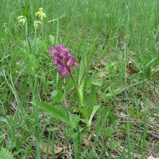
Ve Vlčí
10.1 km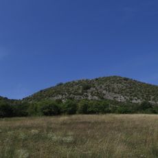
Súčanská kotlina
1.6 km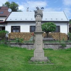
Socha svatého Jana Nepomuckého
8.3 km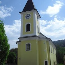
Church of the Nativity of the Virgin Mary in Starý Hrozenkov
8.7 km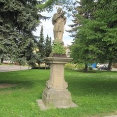
Socha svatého Jana Nepomuckého
11.5 km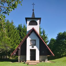
Kaple Panny Marie Kopanické
6.9 km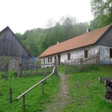
Usedlost čp. 40
10.2 km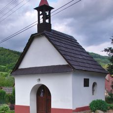
Kaplička
9.5 km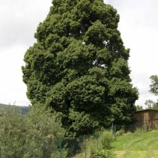
Lípa u Šamáků
10.1 km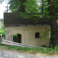
Kaplička
7.7 km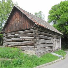
Stodola usedlosti čp. 25
10.4 km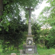
Kříž
10.4 km
Krucifix
12 km
Pomník lípy bratrství u hranic ve Starém Hrozenkově
6.5 km
Usedlost čp. 43
9.9 km
Usedlost čp. 29
6.4 km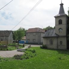
Kaple Neposkvrněné Panny Marie Svatohostýnské
11.5 km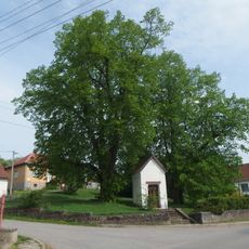
Lípy u Bzovské kapličky
11.7 km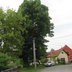
Lípa v Šanově
10.9 km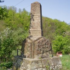
Pomník stavby Vlárské a Tepelské dráhy
8.9 kmReviews
Visited this place? Tap the stars to rate it and share your experience / photos with the community! Try now! You can cancel it anytime.
Discover hidden gems everywhere you go!
From secret cafés to breathtaking viewpoints, skip the crowded tourist spots and find places that match your style. Our app makes it easy with voice search, smart filtering, route optimization, and insider tips from travelers worldwide. Download now for the complete mobile experience.

A unique approach to discovering new places❞
— Le Figaro
All the places worth exploring❞
— France Info
A tailor-made excursion in just a few clicks❞
— 20 Minutes