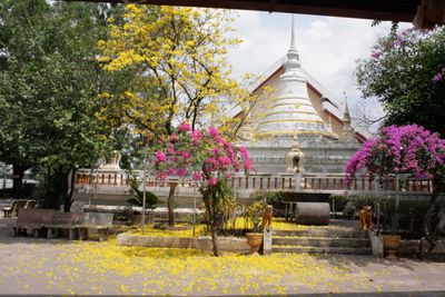
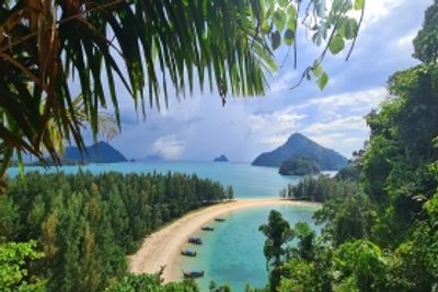
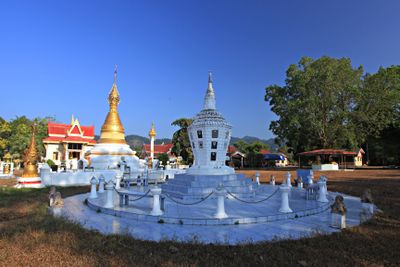
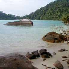
Ranong province, Administrative province on the Andaman coast in Thailand.
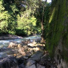
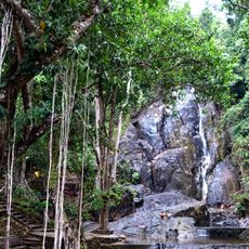
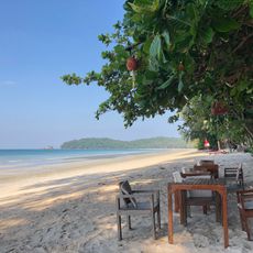
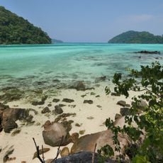
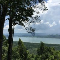
Ranong sits on the western coast of Thailand and ranks among the smallest administrative units in the country, stretching across forested mountain slopes and coastal strips along the Andaman Sea. The territory includes five districts with several offshore islands, small fishing villages, and hot springs emerging from volcanic rock.
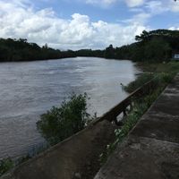
The territory was formally established as an administrative unit in the late nineteenth century, after the region had previously been known for its tin deposits. The border with Myanmar ran along the river even then and continues to separate both countries today.
People here often speak both Thai and Burmese, and many families maintain traditional fishing techniques passed down through generations. Local markets show this cultural mix through the food and spices on offer, which are rarely found elsewhere in Thailand.
Travelers arrive by plane or by road, with connections to the islands made by ferry from the mainland. Most accommodation and facilities are in the capital town, while the surrounding districts are quieter and less developed.
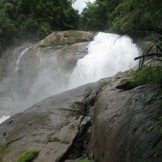
The region receives rainfall during eight months of the year and ranks among the wettest areas in Thailand. This constant rain shapes the dense forests and feeds the numerous streams that run through the land.
The community of curious travelers
AroundUs brings together thousands of curated places, local tips, and hidden gems, enriched daily by 60,000 contributors worldwide.