Amnat Charoen, Administrative province in northeastern Thailand
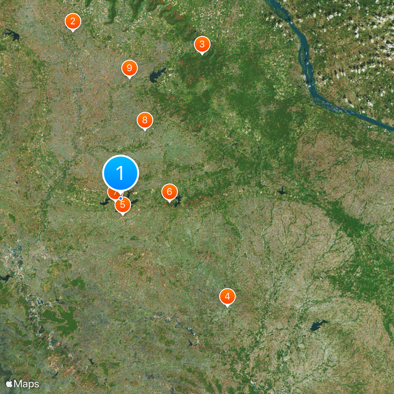
Amnat Charoen is an administrative province in northeastern Thailand, extending across the Mekong Valley with seven districts that encompass farmland, waterways, and protected natural zones. The province divides into 24 municipal areas, including one central town and numerous subdistrict municipalities, while dedicated administrative bodies oversee non-municipal regions.
The territory received provincial status on 12 January 1993, after being administered from Nakhon Khemarat and Ubon Ratchathani. This administrative reorganization occurred during the reign of King Rama IX, separating the region from its earlier assignment under King Rama III.
Residents follow the Dhamma agriculture model, which emphasizes organic cultivation without chemical inputs and collective decision-making within villages. Looms stand in many homes, where families produce silk fabrics in patterns passed down through generations.
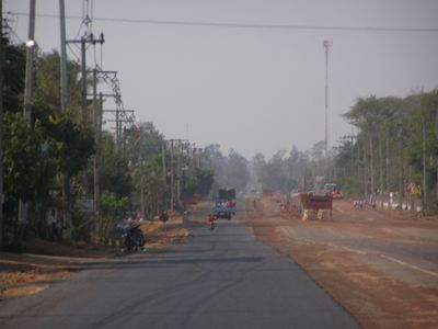
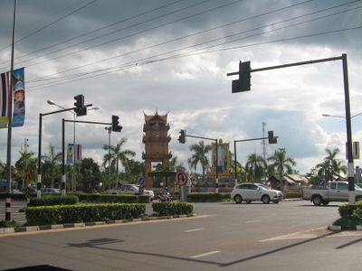
The province can be reached via road connections that run through the seven districts and link individual municipalities. Visitor facilities and information points are located mainly in the central town, from where trips to surrounding areas can be planned.
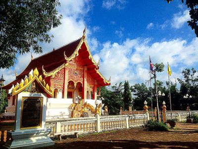
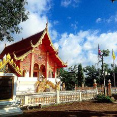
The provincial seal displays the Phra Mongkol Ming Muang, a Buddha statue standing 20 meters (about 66 feet) tall on a hill above the region. The Hopea ferrea tree and the Siamese mud carp serve as regional symbols, appearing in local ceremonies and on official documents.
The community of curious travelers
AroundUs brings together thousands of curated places, local tips, and hidden gems, enriched daily by 60,000 contributors worldwide.