Авратинська височина, Highland plateau in Khmelnytskyi and Ternopil regions, Ukraine
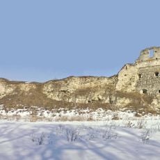
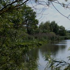
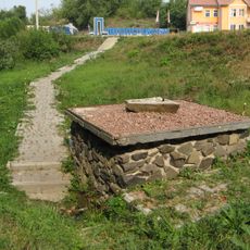
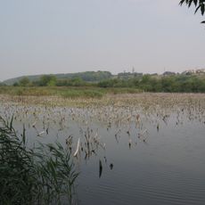
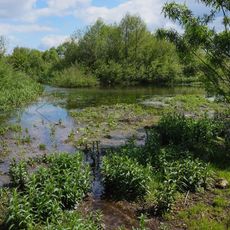
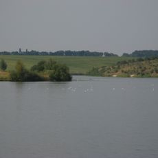
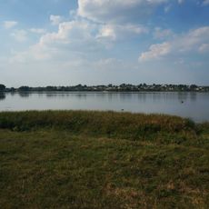
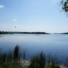
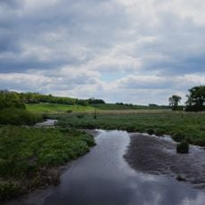
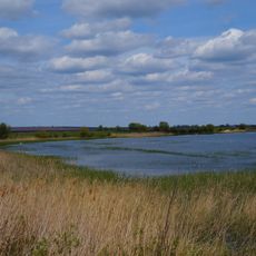
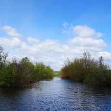
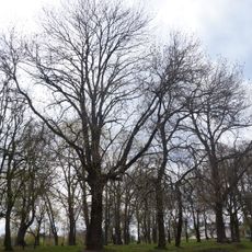
The Avratyn Highlands stretch across northeastern Ternopil and western Khmelnytskyi, with elevations reaching 346 meters. The terrain is marked by rolling hills, streams, and springs that feed into three major river systems, creating a varied landscape of grasslands and forested areas.
Russian geographers named this plateau after Avratyn village in the first half of the 1800s as they systematically mapped the region. The naming reflects broader efforts to document Ukrainian territories during that period of geographical exploration.
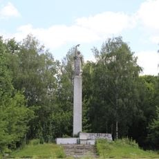
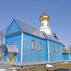
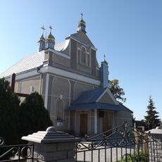
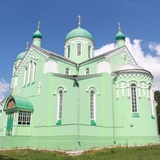
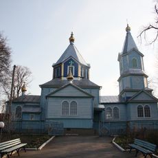
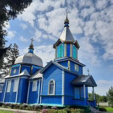
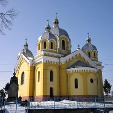
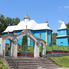
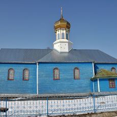
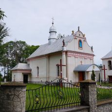
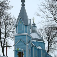
The highland landscape shaped how communities on each side developed their own customs and ways of life over centuries. Travelers can notice distinct regional characteristics in local villages, from building styles to agricultural practices, reflecting how geography influenced local identity.
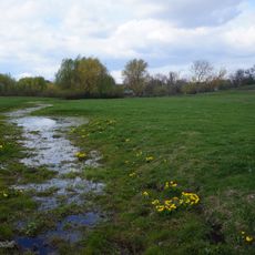
The area is accessible by car, though roads in higher sections may be challenging during wet seasons or winter months. Visitors should wear sturdy footwear and bring water, especially if exploring the hillsides on foot.
This plateau marks where three historical Ukrainian regions once met: Volhynia, Podolia, and Galicia, and these boundaries still appear in how the landscape changes. Travelers crossing through notice subtle shifts in building styles, crop patterns, and vegetation as they pass from one historic zone into another.
The community of curious travelers
AroundUs brings together thousands of curated places, local tips, and hidden gems, enriched daily by 60,000 contributors worldwide.