Enable Location

We need your location to show you interesting places around you

Discover nearby places

Find interesting locations and hidden gems around you

Precise directions

Get accurate directions and distances to places

Your location is never shared with other users. It's only used when you tap the location button.

St. Joseph County

Log in to your account

Start exploring — it's free

Trusted by 62,169 travelers worldwide

Continue with Google
Continue with Apple
or

We will send you a code to connect

By continuing, you accept our Terms and Conditions and our Privacy Policy

Check your inbox

We've sent a pincode in your inbox. Please enter the code below.

St. Joseph County, County administrative division in southwest Michigan, United States

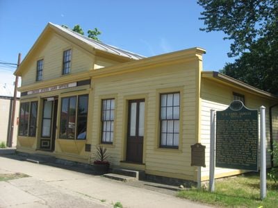
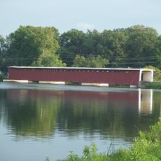
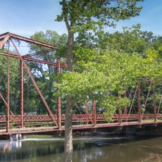
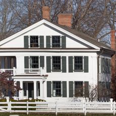
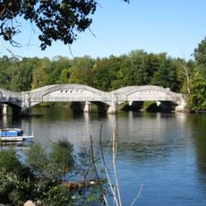
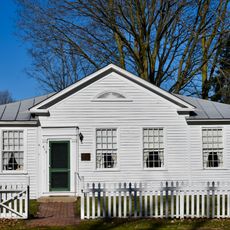
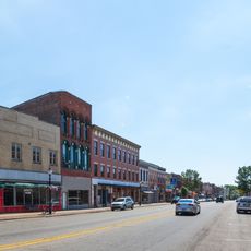
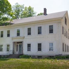
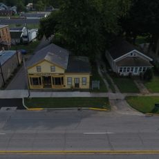
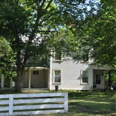
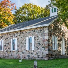
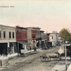
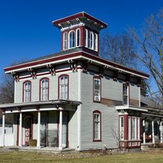
St. Joseph County is an administrative division in southwest Michigan featuring a landscape of rivers, forests, and farmland spread across multiple municipalities. The county includes communities like Centreville, Sturgis, and Three Rivers, which form the main population centers throughout the region.

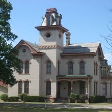
The county was established in 1829 and named to honor General St. Joseph. It developed as an important early administrative region during Michigan's westward settlement and growth.

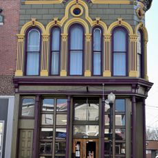
The county organizes agricultural fairs, local markets, and community gatherings throughout its municipalities, including Centreville, Sturgis, and Three Rivers.

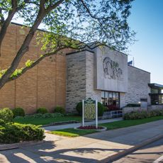
The county administration center in Centreville provides access to public services like records and property information for residents and visitors. The area is easily accessible via U.S. highways and offers various ways to explore the different communities throughout the region.

The county sits at the intersection of U.S. Highway 12 and U.S. Highway 131, making it a key transportation junction for travelers moving through Michigan. This location connects different regions and makes it an important passageway for people traveling across the state.

The community of curious travelers

AroundUs brings together thousands of curated places, local tips, and hidden gems, enriched daily by 60,000 contributors worldwide.

Start exploring
Location
Inception
1829
Capital city
Centreville
Shares border with
Kalamazoo County, Branch County, Cass County, LaGrange County, Elkhart County, Van Buren County, Calhoun County
GPS coordinates
41.92000,-85.53000
Latest update
December 7, 2025 19:25
Around this place
Langley Covered Bridge
United States of America

Langley Covered Bridge

5.3 km
St. Gregory's Abbey, Three Rivers
United States of America

St. Gregory's Abbey, Three Rivers

16.4 km
YMCA Camp Eberhart
United States of America

YMCA Camp Eberhart

18.6 km
St. Joseph County Courthouse
United States of America

St. Joseph County Courthouse

349 m
Marantette Bridge
United States of America

Marantette Bridge

10.6 km
Marantette House
United States of America

Marantette House

10.8 km
Wahbememe Burial Site and Monument
United States of America

Wahbememe Burial Site and Monument

17.5 km
Mottville Camelback Bridge
United States of America

Mottville Camelback Bridge

23.1 km
Dr. Nathan M. Thomas House
United States of America

Dr. Nathan M. Thomas House

23.4 km
Downtown Three Rivers Commercial Historic District
United States of America

Downtown Three Rivers Commercial Historic District

9 km
John Badlam Howe Mansion
United States of America

John Badlam Howe Mansion

23.5 km
Carroll Jones House
United States of America

Carroll Jones House

26.6 km
Farrand Hall
United States of America

Farrand Hall

15.8 km
G. W. Jones House
United States of America

G. W. Jones House

26.6 km
General Land Office
United States of America

General Land Office

16.5 km
Art Gallery Building
United States of America

Art Gallery Building

14.5 km
Samuel P. Williams House
United States of America

Samuel P. Williams House

23.9 km
Arthur Silliman House
United States of America

Arthur Silliman House

8.8 km
Governor John S. Barry House
United States of America

Governor John S. Barry House

14.4 km
Star Milling and Electric Company Historic District
United States of America

Star Milling and Electric Company Historic District

20.6 km
Leverett and Amanda Clapp House
United States of America

Leverett and Amanda Clapp House

435 m
Nottawa Stone School
United States of America

Nottawa Stone School

7.4 km
Vicksburg Historic District
United States of America

Vicksburg Historic District

22.3 km
Morse–Scoville House
United States of America

Morse–Scoville House

14.5 km
Nettleton-Cond House
United States of America

Nettleton-Cond House

14.5 km
Fanckboner-Nichols Farmstead
United States of America

Fanckboner-Nichols Farmstead

25.1 km
Riviera Theatre
United States of America

Riviera Theatre

9.1 km
Sturges-Young Center for the Arts
United States of America

Sturges-Young Center for the Arts

16.1 km
Show the full map
Administrative divisions
« St. Joseph County - County administrative division in southwest Michigan, United States » is provided by Around Us (aroundus.com). Images and texts are derived from Wikimedia project under a Creative Commons license. You are allowed to copy, distribute, and modify copies of this page, under the conditions set by the license, as long as this note is clearly visible.

Discover hidden gems everywhere you go!

From secret cafés to breathtaking viewpoints, skip the crowded tourist spots and find places that match your style. Our app makes it easy with voice search, smart filtering, route optimization, and insider tips from travelers worldwide. Download now for the complete mobile experience.

Around Us App Screenshot

A unique approach to discovering new places

Le Figaro

All the places worth exploring

France Info

A tailor-made excursion in just a few clicks

20 Minutes

Around Us
Travel Guide & Maps
Download

Send to your phone

QR Code
1

Open the camera app on your mobile.

2

Point at the QR code with your camera. A notification will appear.

3

Tap the notification to open the link.