What Cheer, city in Iowa
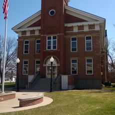
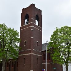
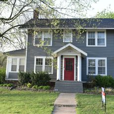
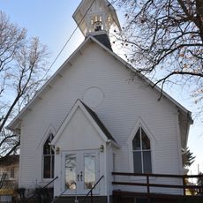
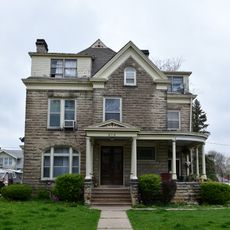
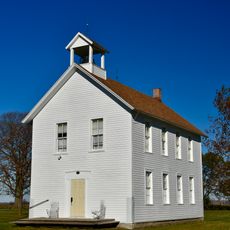
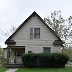
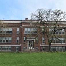
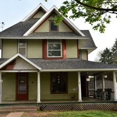
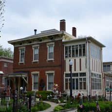
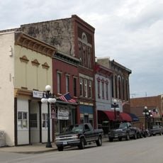
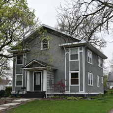
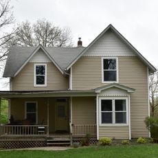
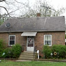
What Cheer is a small city in Keokuk County, Iowa, covering roughly one square mile with quiet streets and simple buildings throughout. The town is defined by residential homes with yards and few large businesses, creating a peaceful and timeless character.
What Cheer was originally founded as Petersburg in 1865, named after early settler Peter Britton, but was renamed 'What Cheer' in 1864 after Joseph Andrews chose the name based on an old English greeting for the new post office.
The name 'What Cheer' comes from an old English greeting and remains a source of curiosity for visitors. The community keeps this heritage alive through local stories and traditions passed down through families and schools.
What Cheer is easily accessible by road via the main highway running through town, less than an hour from nearby cities, and its small size makes exploring on foot straightforward and pleasant. The slow pace allows time to wander and discover the historic sites at a comfortable rhythm.
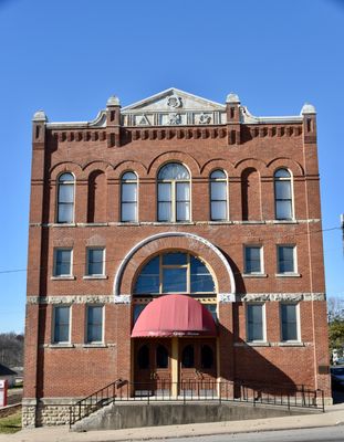
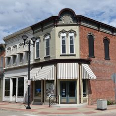
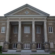
The town is known for its Opera House built in 1893 by the local Masonic Lodge, which once drew people from up to 40 miles away for performances. Today, the restored building holds over 500 visitors and opens each spring with a concert by the What Cheer Winds band.
The community of curious travelers
AroundUs brings together thousands of curated places, local tips, and hidden gems, enriched daily by 60,000 contributors worldwide.