
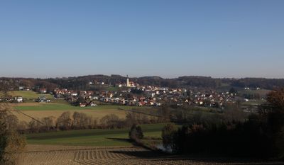
Sankt Marein bei Graz
Sankt Marein bei Graz, municipality in Graz-Umgebung District, Styria, Austria
Location: Graz-Umgebung District
Elevation above the sea: 398 m
Shares border with: Nestelbach bei Graz
Email: gde@st-marein-graz.gv.at
Website: http://st-marein-graz.gv.at
GPS coordinates: 47.01556,15.68750
Latest update: March 21, 2025 14:15

Schloss Kirchberg an der Raab
6.6 km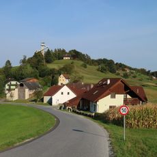
Kleeberg
5.8 km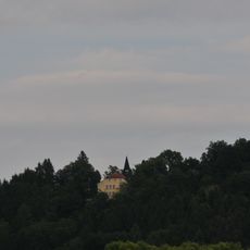
Schloss Vasoldsberg
8.5 km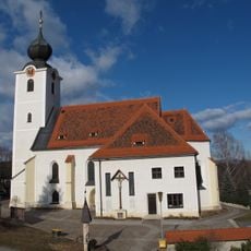
Parish Church Sankt Margarethen an der Raab
5.2 km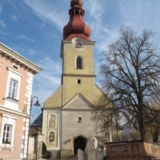
Saint Florian Church
6.6 km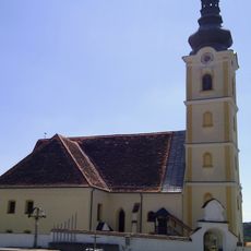
Pfarrkirche St. Marein bei Graz
350 m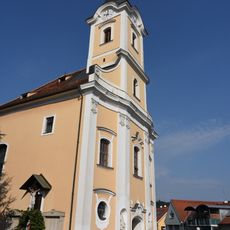
Pfarrkirche Nestelbach
7.9 km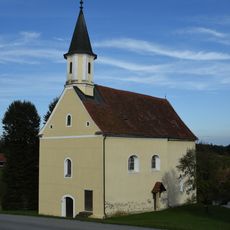
Filialkirche Vierzehn Nothelfer
1.1 km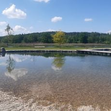
Seerosenbad Kirchberg an der Raab
6.2 km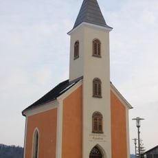
Ortskapelle
8.4 km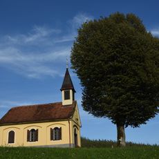
Ortskapelle Tirschenberg
2.2 km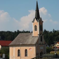
Marienkapelle Zerlach
8.3 km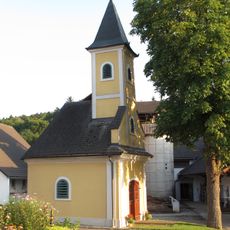
Ortskapelle
2.4 km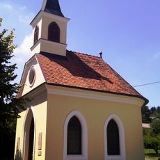
Ortskapelle Laßnitzthal
8.1 km
Ortskapelle Premstätten
9.4 km
Ortskapelle Krumegg, Zur Kreuzerhöhung
4.1 km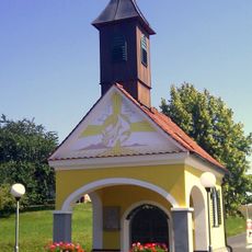
Ortskapelle Hart
6.8 km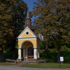
Wegkapelle, Zöbing
5.2 km
Ploderhaus
303 m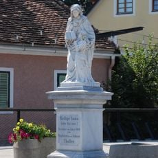
Figurenbildstock hl. Anna
5.4 km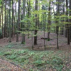
Gräberfeld, Grabhügel in den Feldwäldern, St. Margarethen an der Raab
5.5 km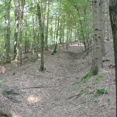
Grabhügelgruppe im Blumental
7.3 km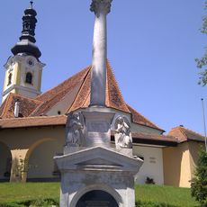
Mariensäule
324 m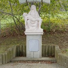
Pietà
6.5 km
Mittelalterlicher Burgstall
4.6 km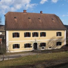
Pfarrhof
5.3 km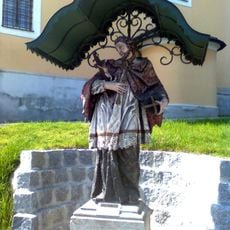
Figurenbildstock hl. Johannes Nepomuk
7.9 km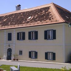
Pfarrhof
382 mVisited this place? Tap the stars to rate it and share your experience / photos with the community! Try now! You can cancel it anytime.
Discover hidden gems everywhere you go!
From secret cafés to breathtaking viewpoints, skip the crowded tourist spots and find places that match your style. Our app makes it easy with voice search, smart filtering, route optimization, and insider tips from travelers worldwide. Download now for the complete mobile experience.

A unique approach to discovering new places❞
— Le Figaro
All the places worth exploring❞
— France Info
A tailor-made excursion in just a few clicks❞
— 20 Minutes