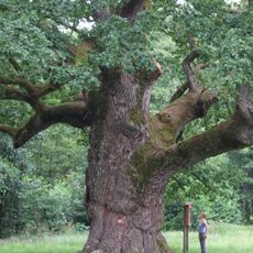
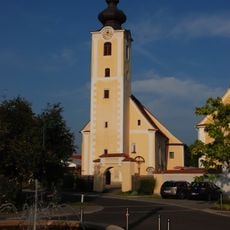
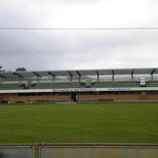
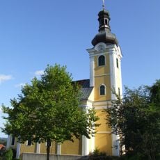
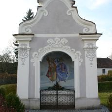
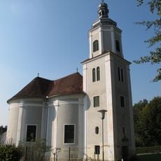
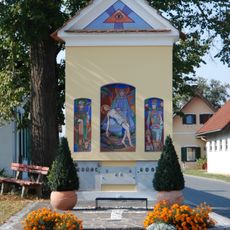
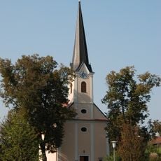
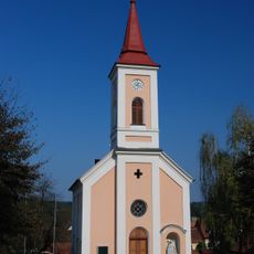
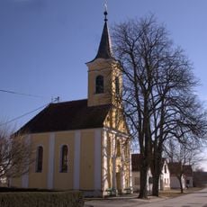
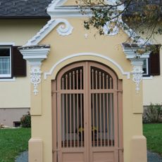
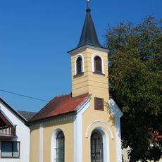
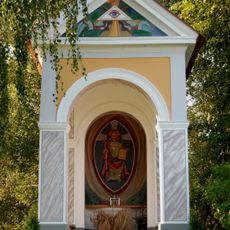
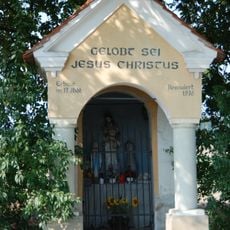
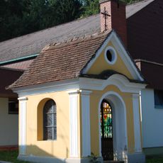
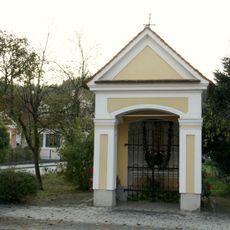
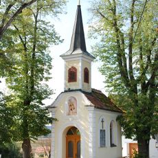
Bad Blumau, municipality in Hartberg-Fürstenfeld District, Styria, Austria
Location: Hartberg-Fürstenfeld District
Elevation above the sea: 284 m
Email: gde@bad-blumau.gv.at
Website: http://bad-blumau-gemeinde.at
GPS coordinates: 47.11667,16.05000
Latest update: March 14, 2025 19:41
Oak of Bad Blumau
1.3 km
Pfarrkirche Altenmarkt bei Fürstenfeld
5.7 km
Thermenstadion Bad Waltersdorf
5.9 km
St. Sebastian
157 m
Pfarrkirche Mariae Gnadenbrunn, Burgau, Styria
4.7 km
Pfarrkirche hl. Dreifaltigkeit, Großwilfersdorf
6 km
Dreifaltigkeitskapelle
4.6 km
Kath. Filialkirche hl. Anna
3.5 km
Flur-/Wegkapelle
1.3 km
Ortskapelle Mariahilf
3.5 km
Ortskapelle Bierbaum an der Safen
2.1 km
Ortskapelle
6.7 km
Mühlhauser-Kapelle
4.4 km
Ortskapelle hl. Susanna
5.3 km
Jobst-Kapelle
4.8 km
Flur-/Wegkapelle
3 km
Kapelle Maria-Lourdes
165 m
Papstkapelle
5.4 km
Flur-/Wegkapelle
321 m
Ortskapelle
6.2 km
Grabdenkmal Kaler von Lonzenheim
4.5 km
Mariensäule Burgau, Styria
4.7 km
Bildstock
107 m
Mariensäule Altenmarkt bei Fürstenfeld
5.7 km
Figurenbildstock Galgenkreuz
3.4 km
Kriegerdenkmal
6 km
Bildstock
4 km
Tabaktrockenanlage
4.7 kmReviews
Visited this place? Tap the stars to rate it and share your experience / photos with the community! Try now! You can cancel it anytime.
Discover hidden gems everywhere you go!
From secret cafés to breathtaking viewpoints, skip the crowded tourist spots and find places that match your style. Our app makes it easy with voice search, smart filtering, route optimization, and insider tips from travelers worldwide. Download now for the complete mobile experience.
A unique approach to discovering new places❞
— Le Figaro
All the places worth exploring❞
— France Info
A tailor-made excursion in just a few clicks❞
— 20 Minutes