
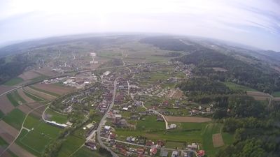
Lafnitz, municipality in Hartberg-Fürstenfeld District, Styria, Austria
Location: Hartberg-Fürstenfeld District
Elevation above the sea: 412 m
Shares border with: Rohrbach an der Lafnitz
Email: gde@lafnitz.steiermark.at
Website: http://lafnitz.at
GPS coordinates: 47.36917,16.01278
Latest update: March 5, 2025 13:51
Schloss Reitenau
4.8 km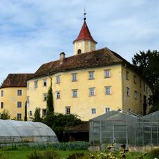
Schloss Kirchberg am Walde
3.3 km
Römerbrücke Pinkafeld-Grafenschachen
3.7 km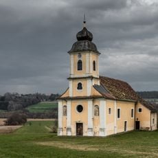
St. Ägydius in der Haid
1.7 km
Saint Michael Church (Grafendorf bei Hartberg)
3.6 km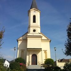
Katholische Pfarrkirche Grafenschachen
4.2 km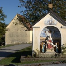
Nischen- /Kapellenbildstock
2 km
Ortskapelle Mariahilf
19 m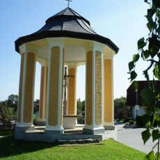
Flur-/Wegkapelle Kirchberger-Kreuz
3.6 km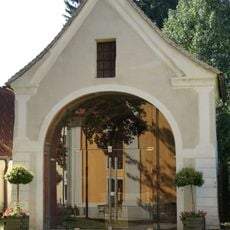
Kreuzkapelle, ehem. Friedhofskapelle
3.6 km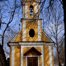
Ortskapelle Hl. Kreuz
5.9 km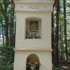
Weißes Kreuz, Lafnitz
1.4 km
Kriegerdenkmal Grafenschachen
4.1 km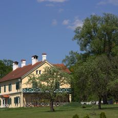
Kastell Loipersdorf
5.4 km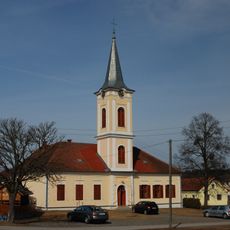
Evangelisches Schul- und Bethaus
6 km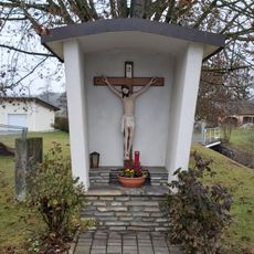
Wegkreuz
3.8 km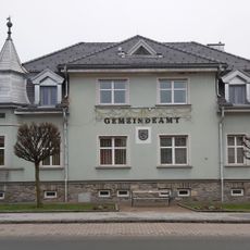
Grafenschachen Municipal Office
4 km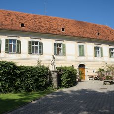
Pfarrhof Grafendorf bei Hartberg
3.6 km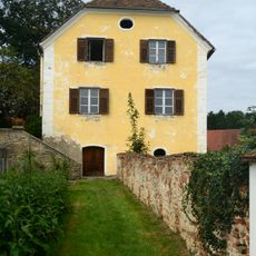
Gutshof/Meierhof (herrschaftlich), Schloss Kirchberg am Walde
3.3 km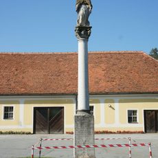
Maria column in Kirchberg am Walde
3.3 km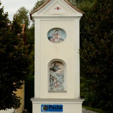
Wayside Shrine
4.8 km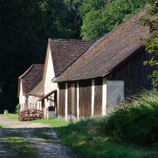
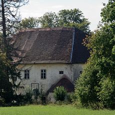
Wirtschaftsgebäude Schloss Reitenau
4.9 km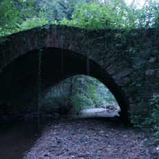
Straßenbrücke, Römerbrücke
3.7 km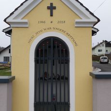
Herz-Jesu-Kapelle
3.8 km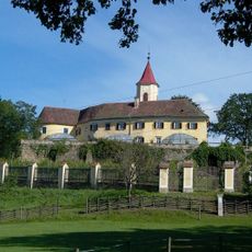
Kirchberg am Walde
3.2 km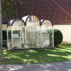
Archäolog. Kleindenkmal/Spolie der Röm. Kaiserzeit, Zwei Römersteine
3.6 km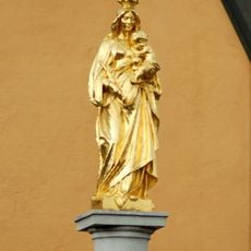
Mariensäule
3.6 km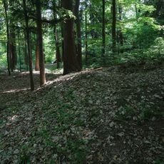
Hügelgräbergruppe Lebernholz
4.3 kmReviews
Visited this place? Tap the stars to rate it and share your experience / photos with the community! Try now! You can cancel it anytime.
Discover hidden gems everywhere you go!
From secret cafés to breathtaking viewpoints, skip the crowded tourist spots and find places that match your style. Our app makes it easy with voice search, smart filtering, route optimization, and insider tips from travelers worldwide. Download now for the complete mobile experience.

A unique approach to discovering new places❞
— Le Figaro
All the places worth exploring❞
— France Info
A tailor-made excursion in just a few clicks❞
— 20 Minutes