
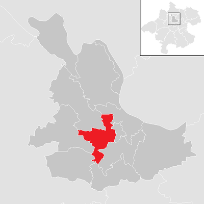
Hinzenbach, municipality in Eferding District, Upper Austria, Austria
Location: Eferding District
Elevation above the sea: 270 m
Website: http://www.hinzenbach.at/
Shares border with: Stroheim, Pupping, Eferding, Fraham, Scharten, Sankt Marienkirchen an der Polsenz, Prambachkirchen
Email: gerald.fuchsmayr@hinzenbach.ooe.gv.at
Website: http://hinzenbach.at
GPS coordinates: 48.30833,14.00556
Latest update: April 7, 2025 17:02
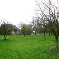
Schloss Gstöttenau
2.4 km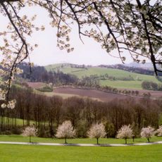
Naturpark Obst-Hügel-Land
5.6 km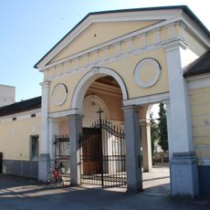
Friedhof christlich
1 km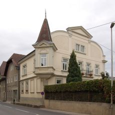
Ledererstraße 12
972 m
Ledererstraße 1
1 km
Schmiedstraße 25
1.2 km
Schmiedstraße 28 (Eferding)
1.1 km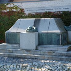
Kriegerdenkmal
1.1 km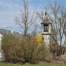
Bildstock
75 m
Schmiedstraße 26
1.1 km
Ledererstraße 10
1 km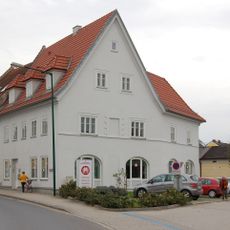
Josef-Mitter-Platz 6
1.1 km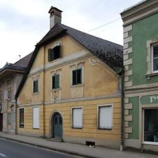
Ledererstraße 7
977 m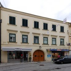
Schmiedstraße 20
1.2 km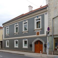
Ledererstraße 8
1 km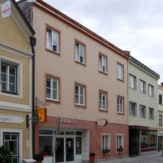
Schmiedstraße 24 (Eferding)
1.2 km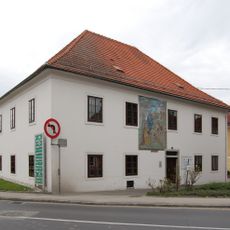
Armenhaus, Bruder- und Siechenhaus Eferding
1.1 km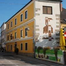
Schmiedstraße 29
1.1 km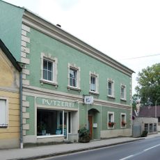
Ledererstraße 9
963 m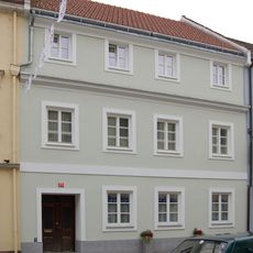
Schmiedstraße 21
1.2 km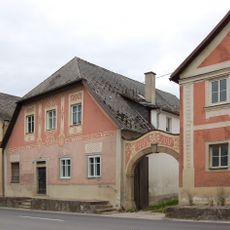
Ledererstraße 20
924 m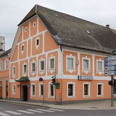
Ledererstraße 2
1.1 km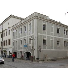
Schmiedstraße 27
1.1 km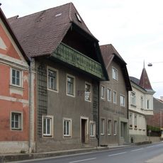
Ledererstraße 16
951 m
Ledererstraße 26
897 m
Ledererstraße 6
1 km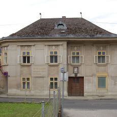
Ledererstraße 5 (Eferding)
990 m
Ledererstraße 18
939 mReviews
Visited this place? Tap the stars to rate it and share your experience / photos with the community! Try now! You can cancel it anytime.
Discover hidden gems everywhere you go!
From secret cafés to breathtaking viewpoints, skip the crowded tourist spots and find places that match your style. Our app makes it easy with voice search, smart filtering, route optimization, and insider tips from travelers worldwide. Download now for the complete mobile experience.

A unique approach to discovering new places❞
— Le Figaro
All the places worth exploring❞
— France Info
A tailor-made excursion in just a few clicks❞
— 20 Minutes