
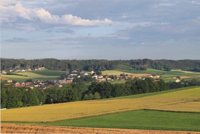
Höhnhart, municipality in Braunau District, Upper Austria, Austria
Location: Braunau District
Elevation above the sea: 480 m
Shares border with: Treubach, Roßbach, Aspach, Sankt Johann am Walde, Maria Schmolln
Email: gemeinde@hoehnhart.ooe.gv.at
Website: https://hoehnhart.ooe.gv.at
GPS coordinates: 48.16444,13.26972
Latest update: March 8, 2025 05:57
Pfarrkirche Aspach
3.5 km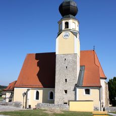
Pfarrkirche Treubach
5.4 km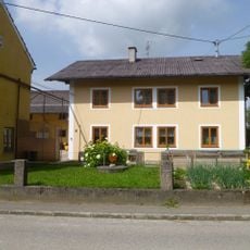
Schloss Brunnthal
4.8 km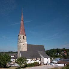
Pfarrkirche Roßbach
4.3 km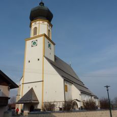
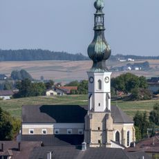
Pfarrkirche Höhnhart
176 m
Schloss Höhnhart
243 m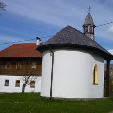
Ansitz Schweikertsreuth
4 km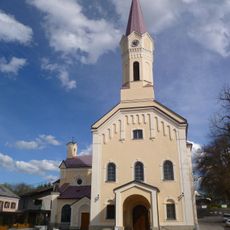
Saint Mary of Help Church
4.8 km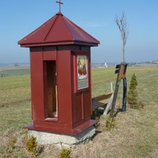
Aspach Rote Kapelle
4 km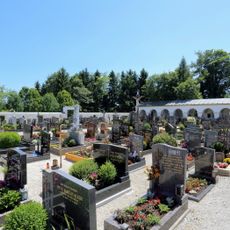
Friedhof
4.9 km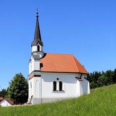
Thalleidlkapelle
6.3 km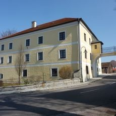
Pfarrhof Aspach
3.5 km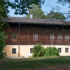
Roßbach Alter Pfarrhof
4.3 km
Franziskanerkloster
4.8 km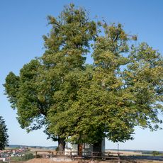
Zwei Kapellenlinden von Aspach
3.9 km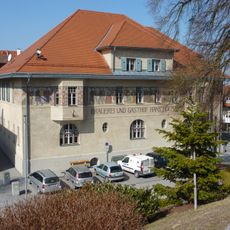
Gemeindeamt Aspach
3.5 km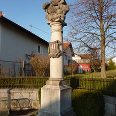
Dreifaltigkeitssäule, Aspach
3.5 km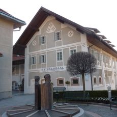
Aspach Stiblersaal
3.4 km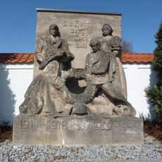
Kriegerdenkmal
3.7 km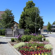
Kriegerdenkmal
4.9 km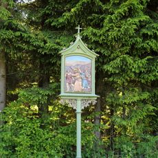
Kreuzweg Winkelpoint
5 km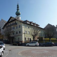
Bräugasthof Zwink - Bleckenwegner
3.5 km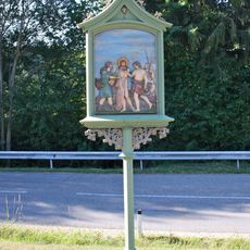
Kreuzweg Sollach
4.3 km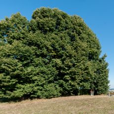
Stiblerlinde
3.1 km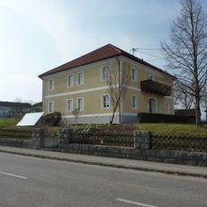
Pfarrhof
267 m
Alters- und Pflegeheim Maria Rast
4.9 km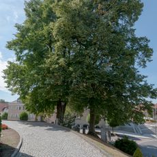
Zwei Kirchenlinden in Aspach
3.5 km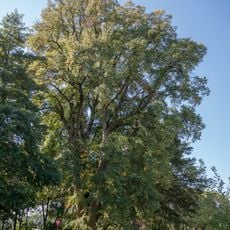
Winterlinde von St. Veit im Innkreis
4.6 kmVisited this place? Tap the stars to rate it and share your experience / photos with the community! Try now! You can cancel it anytime.
Discover hidden gems everywhere you go!
From secret cafés to breathtaking viewpoints, skip the crowded tourist spots and find places that match your style. Our app makes it easy with voice search, smart filtering, route optimization, and insider tips from travelers worldwide. Download now for the complete mobile experience.

A unique approach to discovering new places❞
— Le Figaro
All the places worth exploring❞
— France Info
A tailor-made excursion in just a few clicks❞
— 20 Minutes