
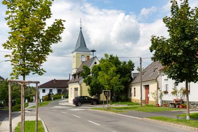
Neustift bei Schlaining, locality and cadastral community in Oberwart District
Location: Mariasdorf
Elevation above the sea: 482 m
GPS coordinates: 47.35290,16.25250
Latest update: March 3, 2025 18:31
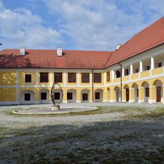
Schloss Jormannsdorf
2.4 km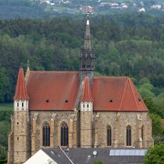
Church of the Assumption
2.2 km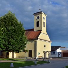
Kath. Filialkirche hl. Anna
2.4 km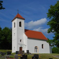
Evangelische Filialkirche Goberling
2.4 km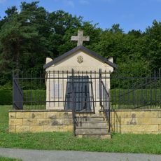
Jormannsdorf Cemetery
2.5 km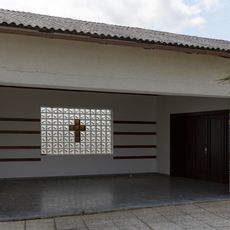
Mariasdorf Mortuary
2.4 km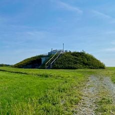
Aussichtswarte Bad Tatzmannsdorf
1.6 km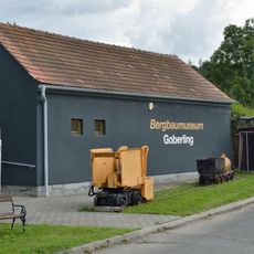
Bergbaumuseum Goberling
2.6 km
Hengstbrunnen, Sulzriegel
1.7 km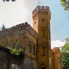
Direktorvilla
947 m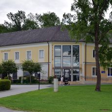
Kurmuseum Bad Tatzmannsdorf
2.5 km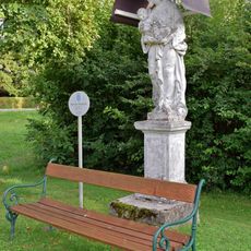
Bildstock hl. Josef Jormannsdorf
2.4 km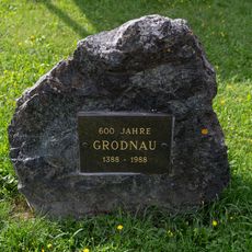
Gedenkstein 600 Jahre Grodnau
2.5 km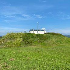
Hochbehälter Sulzriegel
1.6 km
Öffentliche Bücherei Bad Tatzmannsdorf
2.5 km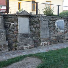
Grabsteine
2.2 km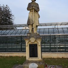
Kriegerdenkmal Jormannsdorf
2.4 km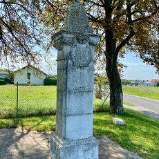
Szmrecsányi-Bildstock
1.6 km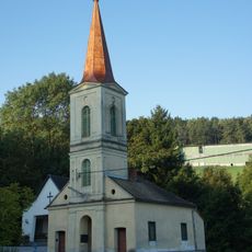
Glockenturm
731 m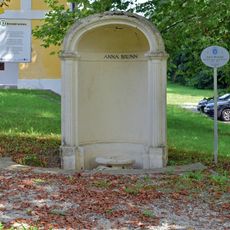
Anna-Brunnen
2.3 km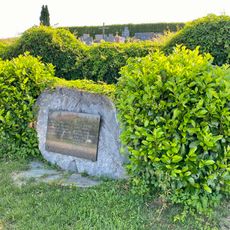
Sulzriegel War Memorial
1.7 km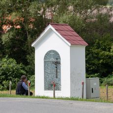
Bildstock
2.2 km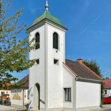
Glockenturm Sulzriegel
1.9 km
Gedenkstein 600 Jahre Mariasdorf
2 km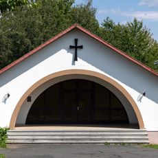
Neustift bei Schlaining Mortuary
280 m
Evangelisches Schul- und Bethaus
2.1 km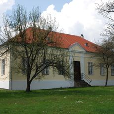
Volksschule, ehem. evang. Bethaus
300 m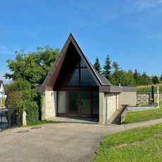
Sulzriegel Mortuary
1.7 kmReviews
Visited this place? Tap the stars to rate it and share your experience / photos with the community! Try now! You can cancel it anytime.
Discover hidden gems everywhere you go!
From secret cafés to breathtaking viewpoints, skip the crowded tourist spots and find places that match your style. Our app makes it easy with voice search, smart filtering, route optimization, and insider tips from travelers worldwide. Download now for the complete mobile experience.

A unique approach to discovering new places❞
— Le Figaro
All the places worth exploring❞
— France Info
A tailor-made excursion in just a few clicks❞
— 20 Minutes