
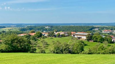
Sulzriegel, locality and cadastral municipality in Oberwart District
Location: Bad Tatzmannsdorf
Elevation above the sea: 390 m
GPS coordinates: 47.33940,16.23530
Latest update: March 5, 2025 07:20
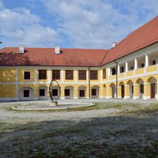
Schloss Jormannsdorf
1.4 km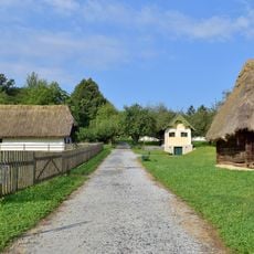
Freilichtmuseum
826 m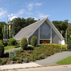
Catholic parish church of Bad Tatzmannsdorf
815 m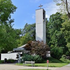
Evangelische Friedenskirche, Bad Tatzmannsdorf
810 m
Dazumal Freilichtmuseum Bad Tatzmannsdorf & Arkadenheuriger
775 m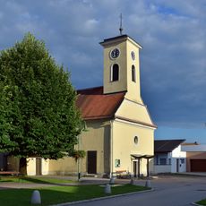
Kath. Filialkirche hl. Anna
1.3 km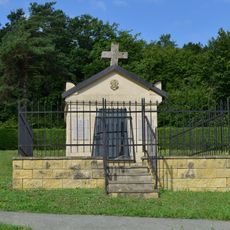
Jormannsdorf Cemetery
1.4 km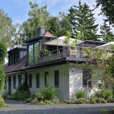
Sternvilla
1.1 km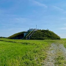
Aussichtswarte Bad Tatzmannsdorf
427 m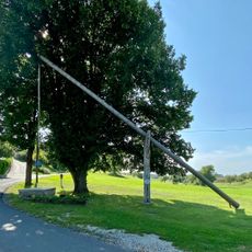
Hengstbrunnen, Sulzriegel
297 m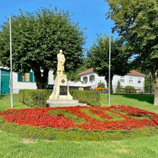
Bad Tatzmannsdorf War Memorial
881 m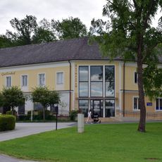
Kurmuseum Bad Tatzmannsdorf
549 m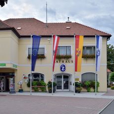
Rathaus Bad Tatzmannsdorf
899 m
Brotmuseum Bad Tatzmannsdorf
821 m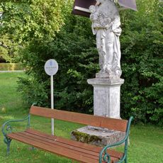
Bildstock hl. Josef Jormannsdorf
1.1 km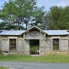
Russische Bahnhofstation, Bad Tatzmannsdorf
1.1 km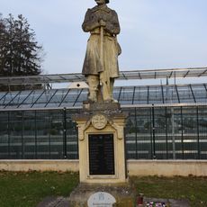
Kriegerdenkmal Jormannsdorf
1.3 km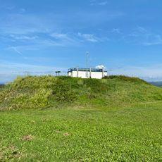
Hochbehälter Sulzriegel
426 m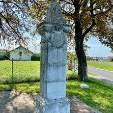
Szmrecsányi-Bildstock
724 m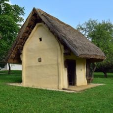
Kitting
849 m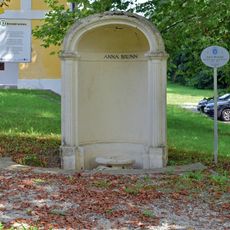
Anna-Brunnen
1.4 km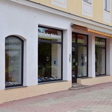
Öffentliche Bücherei Bad Tatzmannsdorf
562 m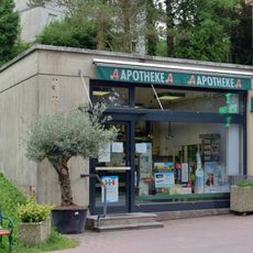
Apotheke Zur göttlichen Vorsehung
618 m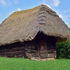
Scheune
886 m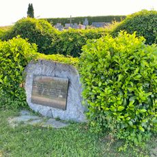
Sulzriegel War Memorial
367 m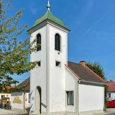
Glockenturm Sulzriegel
42 m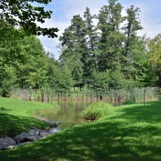
Kurpark Bad Tatzmannsdorf
682 m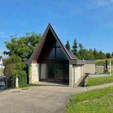
Sulzriegel Mortuary
381 mReviews
Visited this place? Tap the stars to rate it and share your experience / photos with the community! Try now! You can cancel it anytime.
Discover hidden gems everywhere you go!
From secret cafés to breathtaking viewpoints, skip the crowded tourist spots and find places that match your style. Our app makes it easy with voice search, smart filtering, route optimization, and insider tips from travelers worldwide. Download now for the complete mobile experience.

A unique approach to discovering new places❞
— Le Figaro
All the places worth exploring❞
— France Info
A tailor-made excursion in just a few clicks❞
— 20 Minutes